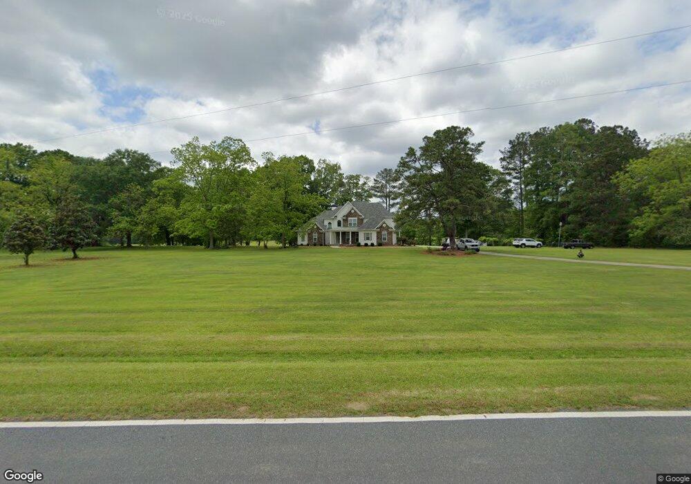
275 Hardy Rd Brooks, GA 30205
Estimated Value: $707,144 - $920,000
--
Bed
--
Bath
3,392
Sq Ft
$246/Sq Ft
Est. Value
About This Home
This home is located at 275 Hardy Rd, Brooks, GA 30205 and is currently estimated at $835,036, approximately $246 per square foot. 275 Hardy Rd is a home located in Fayette County with nearby schools including Peeples Elementary School, Whitewater Middle School, and Whitewater High School.
Ownership History
Date
Name
Owned For
Owner Type
Purchase Details
Closed on
Jul 27, 2007
Sold by
Dollar Donnie
Bought by
Moore William M and Moore Elizabeth C
Current Estimated Value
Home Financials for this Owner
Home Financials are based on the most recent Mortgage that was taken out on this home.
Original Mortgage
$417,000
Interest Rate
6.49%
Mortgage Type
VA
Purchase Details
Closed on
May 9, 2006
Sold by
Dollar Donnie G and Dollar Mary L
Bought by
Fayette County Georgia
Create a Home Valuation Report for This Property
The Home Valuation Report is an in-depth analysis detailing your home's value as well as a comparison with similar homes in the area
Home Values in the Area
Average Home Value in this Area
Purchase History
| Date | Buyer | Sale Price | Title Company |
|---|---|---|---|
| Moore William M | $470,000 | -- | |
| Fayette County Georgia | -- | -- |
Source: Public Records
Mortgage History
| Date | Status | Borrower | Loan Amount |
|---|---|---|---|
| Previous Owner | Moore William M | $417,000 |
Source: Public Records
Tax History Compared to Growth
Tax History
| Year | Tax Paid | Tax Assessment Tax Assessment Total Assessment is a certain percentage of the fair market value that is determined by local assessors to be the total taxable value of land and additions on the property. | Land | Improvement |
|---|---|---|---|---|
| 2024 | $5,392 | $252,484 | $33,828 | $218,656 |
| 2023 | $5,392 | $237,728 | $29,728 | $208,000 |
| 2022 | $5,201 | $226,092 | $26,652 | $199,440 |
| 2021 | $4,959 | $201,000 | $24,600 | $176,400 |
| 2020 | $5,234 | $187,432 | $22,552 | $164,880 |
| 2019 | $5,025 | $178,152 | $22,552 | $155,600 |
| 2018 | $4,704 | $165,076 | $19,476 | $145,600 |
| 2017 | $4,561 | $159,532 | $18,452 | $141,080 |
| 2016 | $4,160 | $142,612 | $18,452 | $124,160 |
| 2015 | $3,898 | $131,412 | $18,452 | $112,960 |
| 2014 | $3,522 | $116,852 | $18,452 | $98,400 |
| 2013 | -- | $112,828 | $0 | $0 |
Source: Public Records
Map
Nearby Homes
- 152 Carson Rd
- LOT 2 Mask Road - Hanner's Farm S
- 395 W Mcintosh Rd
- 160 Carrington Ln
- 130 Elsberry Ln
- 0 W Mcintosh Rd Unit 10654779
- 0 W Mcintosh Rd Unit 10527676
- 4101 W Ellis Rd
- 911 Highway 85 Connector
- 423 Mask Rd
- 460 Mask Rd
- 0 Mask and Lynch Rd Unit 10611467
- LOT 6 Mask Road - Hanner's Farm N
- LOT 8 Mask Road - Hanner's Farm S
- LOT 7 Mask Road - Hanner's Farm S
- LOT 5 Mask Road - Hanner's Farm S
- LOT 5 Mask Road - Hanner's Farm N
- LOT 6 Mask Road - Hanner's Farm S
- LOT 4 Mask Road - Hanner's Farm N
- LOT 4 Mask Road - Hanner's Farm S