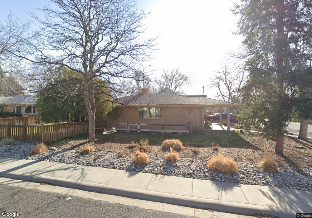
275 Kimbark St Lafayette, CO 80026
Estimated Value: $687,000 - $910,000
3
Beds
2
Baths
1,264
Sq Ft
$614/Sq Ft
Est. Value
About This Home
This home is located at 275 Kimbark St, Lafayette, CO 80026 and is currently estimated at $776,418, approximately $614 per square foot. 275 Kimbark St is a home located in Boulder County with nearby schools including Lafayette Elementary School, Angevine Middle School, and Centaurus High School.
Ownership History
Date
Name
Owned For
Owner Type
Purchase Details
Closed on
Apr 2, 2020
Sold by
Newton Roy W and Newton Dinah
Bought by
Freeland Anne E
Current Estimated Value
Home Financials for this Owner
Home Financials are based on the most recent Mortgage that was taken out on this home.
Original Mortgage
$350,000
Interest Rate
4%
Mortgage Type
Unknown
Create a Home Valuation Report for This Property
The Home Valuation Report is an in-depth analysis detailing your home's value as well as a comparison with similar homes in the area
Home Values in the Area
Average Home Value in this Area
Purchase History
| Date | Buyer | Sale Price | Title Company |
|---|---|---|---|
| Freeland Anne E | $620,000 | Fidelity National Title |
Source: Public Records
Mortgage History
| Date | Status | Borrower | Loan Amount |
|---|---|---|---|
| Closed | Freeland Anne E | $350,000 |
Source: Public Records
Tax History Compared to Growth
Tax History
| Year | Tax Paid | Tax Assessment Tax Assessment Total Assessment is a certain percentage of the fair market value that is determined by local assessors to be the total taxable value of land and additions on the property. | Land | Improvement |
|---|---|---|---|---|
| 2025 | $4,246 | $46,575 | $12,681 | $33,894 |
| 2024 | $4,246 | $46,575 | $12,681 | $33,894 |
| 2023 | $4,173 | $47,918 | $16,254 | $35,349 |
| 2022 | $3,544 | $37,725 | $11,433 | $26,292 |
| 2021 | $3,505 | $38,810 | $11,762 | $27,048 |
| 2020 | $2,577 | $28,193 | $10,082 | $18,111 |
| 2019 | $2,541 | $28,193 | $10,082 | $18,111 |
| 2018 | $2,334 | $25,567 | $8,640 | $16,927 |
| 2017 | $2,273 | $28,266 | $9,552 | $18,714 |
| 2016 | $1,961 | $21,364 | $6,320 | $15,044 |
Source: Public Records
Map
Nearby Homes
- 511 S Roosevelt Ave
- 304 Skylark Cir
- 285 Skylark Cir
- 403 W Cannon St
- 715 Bunting Dr
- 712 Bunting Dr
- 709 Cardinal Dr
- 306 E Cannon St
- 655 N Gooseberry Ct
- 201 E Cleveland St
- 924 Milo Cir Unit A
- 998 Milo Cir Unit A
- 372 S Carr Ave
- 713 Flamingo Dr
- 490 E Sutton Cir
- 1068 Milo Cir Unit A
- 712 Meadowlark Dr
- 704 Meadowlark Dr
- 713 Merlin Dr
- 803 Quail Cove
- 271 Kimbark St
- 610 S Longmont Ave
- 606 S Longmont Ave
- 700 S Longmont Ave
- 615 S Roosevelt Ave
- 611 S Roosevelt Ave Unit 617
- 701 S Longmont Ave
- 607 S Roosevelt Ave
- 609 S Longmont Ave
- 702 S Longmont Ave
- 617 S Roosevelt Ave
- 703 S Longmont Ave
- 607 S Longmont Ave
- 603 S Roosevelt Ave
- 603 S Roosevelt Ave Unit A & B
- 605 S Roosevelt Ave
- 600 S Longmont Ave
- 605 S Longmont Ave
- 210 Kimbark St
- 704 S Longmont Ave