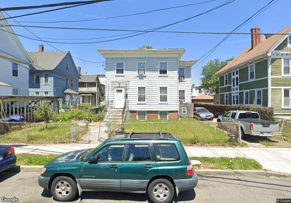
275 Maple St Bridgeport, CT 06608
East Side Bridgeport NeighborhoodEstimated Value: $404,453 - $524,000
5
Beds
3
Baths
2,794
Sq Ft
$167/Sq Ft
Est. Value
About This Home
This home is located at 275 Maple St, Bridgeport, CT 06608 and is currently estimated at $467,863, approximately $167 per square foot. 275 Maple St is a home located in Fairfield County with nearby schools including Barnum School, Harding High School, and Capital Prep Harbor Upper School.
Ownership History
Date
Name
Owned For
Owner Type
Purchase Details
Closed on
Feb 14, 2017
Sold by
Gill Melvin and Gill Gwendolyn
Bought by
Gill Gwendolyn
Current Estimated Value
Purchase Details
Closed on
Feb 3, 1992
Sold by
Agosto Leoncio and Agosto Francisca
Bought by
Gill Melvin and Hill Ruth
Home Financials for this Owner
Home Financials are based on the most recent Mortgage that was taken out on this home.
Original Mortgage
$117,800
Interest Rate
8.5%
Mortgage Type
Purchase Money Mortgage
Create a Home Valuation Report for This Property
The Home Valuation Report is an in-depth analysis detailing your home's value as well as a comparison with similar homes in the area
Home Values in the Area
Average Home Value in this Area
Purchase History
| Date | Buyer | Sale Price | Title Company |
|---|---|---|---|
| Gill Gwendolyn | -- | -- | |
| Gill Gwendolyn | -- | -- | |
| Gill Melvin | $120,000 | -- |
Source: Public Records
Mortgage History
| Date | Status | Borrower | Loan Amount |
|---|---|---|---|
| Previous Owner | Gill Melvin | $117,800 | |
| Closed | Gill Melvin | $3,200 |
Source: Public Records
Tax History
| Year | Tax Paid | Tax Assessment Tax Assessment Total Assessment is a certain percentage of the fair market value that is determined by local assessors to be the total taxable value of land and additions on the property. | Land | Improvement |
|---|---|---|---|---|
| 2025 | $7,032 | $161,840 | $42,080 | $119,760 |
| 2024 | $7,032 | $161,840 | $42,080 | $119,760 |
| 2023 | $7,032 | $161,840 | $42,080 | $119,760 |
| 2022 | $7,032 | $161,840 | $42,080 | $119,760 |
| 2021 | $7,032 | $161,840 | $42,080 | $119,760 |
| 2020 | $5,970 | $110,570 | $9,960 | $100,610 |
| 2019 | $5,970 | $110,570 | $9,960 | $100,610 |
| 2018 | $6,012 | $110,570 | $9,960 | $100,610 |
| 2017 | $6,012 | $110,570 | $9,960 | $100,610 |
| 2016 | $6,012 | $110,570 | $9,960 | $100,610 |
| 2015 | $6,448 | $152,790 | $19,290 | $133,500 |
| 2014 | $6,448 | $152,790 | $19,290 | $133,500 |
Source: Public Records
Map
Nearby Homes
- 40 Jane St
- 39 Jane St
- 252 Shelton St
- 274 Park St
- 236 Brooks St
- 369 Park St
- 99 William St Unit B
- 751 E Main St
- 34 Hayes St Unit 40
- 691 E Main St
- 502 Berkshire Ave
- 690 William St
- 1365 E Main St
- 1220 Pembroke St
- 1248 Pembroke St
- 695 Shelton St
- 750 William St
- 746 Maple St
- 1218 Kossuth St
- 619 Brooks St Unit 621
- 289 Maple St
- 508 Noble Ave Unit 510
- 111 Park St Unit 119
- 518 Noble Ave Unit 520
- 528 Noble Ave
- 528 Noble Ave Unit 1 Fl.
- 528 Noble Ave Unit 2 Fl.
- 528 Noble Ave Unit 1
- 105 Park St
- 530 Noble Ave Unit 534
- 536 Noble Ave
- 55 Park St
- 125 Park St
- 550 Noble Ave
- 478 Noble Ave
- 478 Noble Ave Unit 3
- 118 Park St
- 468 Noble Ave Unit 470
- 47 Park St
- 560 Noble Ave Unit 2
Your Personal Tour Guide
Ask me questions while you tour the home.