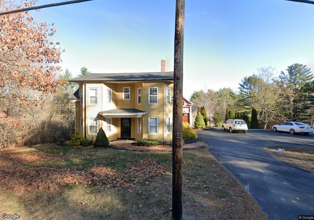
275 Methodist Rd Westbrook, ME 04092
Estimated Value: $783,000 - $1,348,000
5
Beds
5
Baths
4,964
Sq Ft
$195/Sq Ft
Est. Value
About This Home
This home is located at 275 Methodist Rd, Westbrook, ME 04092 and is currently estimated at $970,139, approximately $195 per square foot. 275 Methodist Rd is a home located in Cumberland County with nearby schools including Westbrook High School and Breakwater School.
Ownership History
Date
Name
Owned For
Owner Type
Purchase Details
Closed on
Jan 22, 2016
Sold by
Richardson Tina L
Bought by
Mileikis Amy
Current Estimated Value
Home Financials for this Owner
Home Financials are based on the most recent Mortgage that was taken out on this home.
Original Mortgage
$482,125
Outstanding Balance
$383,695
Interest Rate
3.98%
Mortgage Type
Unknown
Estimated Equity
$586,444
Purchase Details
Closed on
Nov 26, 2008
Sold by
Trobisch David J and Trobisch Vera T
Bought by
Paquette Tina
Home Financials for this Owner
Home Financials are based on the most recent Mortgage that was taken out on this home.
Original Mortgage
$259,653
Interest Rate
6.47%
Mortgage Type
FHA
Create a Home Valuation Report for This Property
The Home Valuation Report is an in-depth analysis detailing your home's value as well as a comparison with similar homes in the area
Home Values in the Area
Average Home Value in this Area
Purchase History
| Date | Buyer | Sale Price | Title Company |
|---|---|---|---|
| Mileikis Amy | -- | -- | |
| Paquette Tina | -- | -- |
Source: Public Records
Mortgage History
| Date | Status | Borrower | Loan Amount |
|---|---|---|---|
| Open | Mileikis Amy | $482,125 | |
| Closed | Paquette Tina | $263,547 | |
| Closed | Paquette Tina | $259,653 |
Source: Public Records
Tax History
| Year | Tax Paid | Tax Assessment Tax Assessment Total Assessment is a certain percentage of the fair market value that is determined by local assessors to be the total taxable value of land and additions on the property. | Land | Improvement |
|---|---|---|---|---|
| 2023 | $9,978 | $598,200 | $110,100 | $488,100 |
| 2022 | $9,074 | $501,300 | $91,900 | $409,400 |
| 2021 | $8,938 | $501,300 | $91,900 | $409,400 |
| 2020 | $8,161 | $501,300 | $91,900 | $409,400 |
| 2019 | $8,953 | $501,300 | $91,900 | $409,400 |
| 2018 | $8,104 | $406,200 | $80,000 | $326,200 |
| 2017 | $7,669 | $406,200 | $80,000 | $326,200 |
| 2016 | $7,474 | $406,200 | $80,000 | $326,200 |
| 2015 | $7,294 | $406,100 | $79,900 | $326,200 |
| 2014 | $6,985 | $406,100 | $79,900 | $326,200 |
| 2013 | $6,985 | $406,100 | $79,900 | $326,200 |
Source: Public Records
Map
Nearby Homes
- 7 Collins Place Unit 6
- 30 Fawn Woods Way Unit 30
- 18 Summit Cir
- 22 Collins Place Dr Unit 4
- 3 Collins Place Unit 5
- 7 Apex Dr Unit 2
- 5 Apex Dr Unit 1
- 680 Methodist Rd
- 26 Stillwater Dr Unit 26
- 176 Carlson St
- 6 Crestwood Dr
- 67 Brydon Way Unit 70
- 10 Everett Ct
- 10 Hogan Cir Unit 35
- 290 Bridgton Rd Unit 1
- 76 Kennard St
- 50 Hogan Cir Unit 2
- 132 North St
- 11 Nicklaus Ln
- 78 North St
- 275 Methodist Rd
- 255 Methodist Rd
- 315 Methodist Rd
- 320 Methodist Rd
- 333 Methodist Rd
- 245 Methodist Rd
- 270 Methodist Rd
- 343 Methodist Rd
- 390 Methodist Rd
- 379 Methodist Rd
- 385 Methodist Rd
- 391 Methodist Rd
- 472 Methodist Rd
- 397 Methodist Rd
- 405 Methodist Rd
- 123 Methodist Rd
- 478 Methodist Rd
- 461 Methodist Rd
- 463 Methodist Rd
- 30 Methodist Rd
Your Personal Tour Guide
Ask me questions while you tour the home.