275 Mountain View Glide, OR 97443
Glide NeighborhoodEstimated Value: $251,000 - $336,000
2
Beds
2
Baths
1,188
Sq Ft
$251/Sq Ft
Est. Value
About This Home
This home is located at 275 Mountain View, Glide, OR 97443 and is currently estimated at $297,616, approximately $250 per square foot. 275 Mountain View is a home located in Douglas County with nearby schools including Glide Elementary School, Glide Middle School, and Glide High School.
Ownership History
Date
Name
Owned For
Owner Type
Purchase Details
Closed on
May 7, 2004
Sold by
Briley Dora Lee
Bought by
Barker Nancy
Current Estimated Value
Home Financials for this Owner
Home Financials are based on the most recent Mortgage that was taken out on this home.
Original Mortgage
$102,050
Outstanding Balance
$46,723
Interest Rate
5.38%
Mortgage Type
Purchase Money Mortgage
Estimated Equity
$250,893
Purchase Details
Closed on
Jan 14, 2004
Sold by
Anderson Karen C
Bought by
Anderson Karen C and Karen C Anderson Revocable Living Trust
Create a Home Valuation Report for This Property
The Home Valuation Report is an in-depth analysis detailing your home's value as well as a comparison with similar homes in the area
Home Values in the Area
Average Home Value in this Area
Purchase History
| Date | Buyer | Sale Price | Title Company |
|---|---|---|---|
| Barker Nancy | $113,400 | First American Title Ins Co | |
| Anderson Karen C | -- | -- |
Source: Public Records
Mortgage History
| Date | Status | Borrower | Loan Amount |
|---|---|---|---|
| Open | Barker Nancy | $102,050 |
Source: Public Records
Tax History
| Year | Tax Paid | Tax Assessment Tax Assessment Total Assessment is a certain percentage of the fair market value that is determined by local assessors to be the total taxable value of land and additions on the property. | Land | Improvement |
|---|---|---|---|---|
| 2025 | $1,513 | $159,800 | -- | -- |
| 2024 | $1,455 | $155,146 | -- | -- |
| 2023 | $1,422 | $150,628 | $0 | $0 |
| 2022 | $1,350 | $146,241 | $0 | $0 |
| 2021 | $1,347 | $141,982 | $0 | $0 |
| 2020 | $1,318 | $137,847 | $0 | $0 |
| 2019 | $1,290 | $133,833 | $0 | $0 |
| 2018 | $1,249 | $129,935 | $0 | $0 |
| 2017 | $1,227 | $126,151 | $0 | $0 |
| 2016 | $1,173 | $122,477 | $0 | $0 |
| 2015 | $1,134 | $118,910 | $0 | $0 |
| 2014 | $1,138 | $115,447 | $0 | $0 |
| 2013 | -- | $112,085 | $0 | $0 |
Source: Public Records
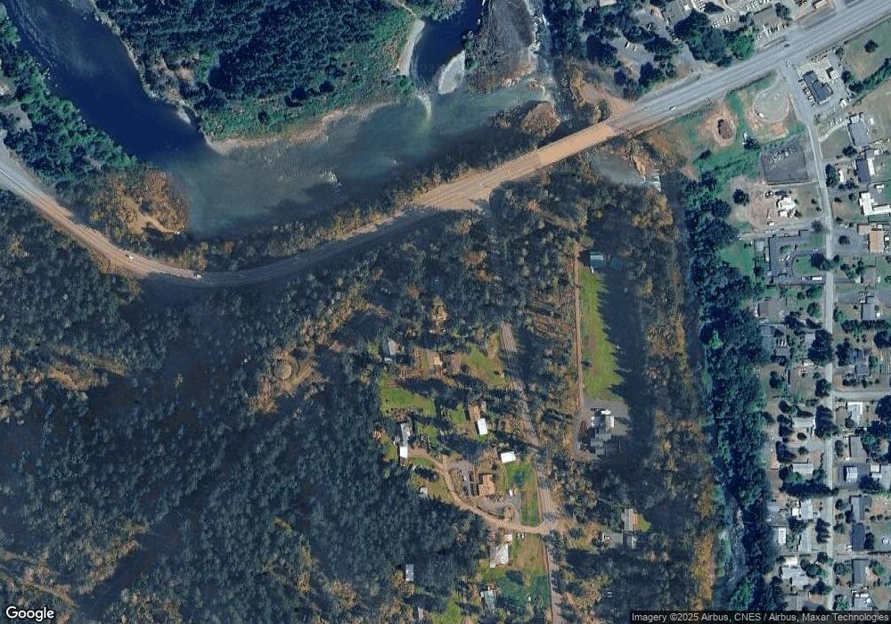
Map
Nearby Homes
- 267 Mountain View
- 123 Mountain View
- 0 Park St
- 3413 Wild River Dr
- 369 Upper Camp Loop Rd
- 106 Odille Ct
- 261 S Estella St
- 411 Upper Terrace Ln
- 283 Upper Terrace Ln
- 610 Terrace Dr
- 14536 Little River Rd
- 418 Rivershore Dr
- 175 Doe Rd
- 1884 Wild River Dr
- 121 Wild Goose Ln
- 781 Pine Ridge Dr
- 225 Doraleen Ln
- 900 Old Cabin Dr
- 1176 Whistlers Ln
- 13767 N Bank Rd
- 315 Mountain View
- 270 Mountain View
- 23397 N Umpqua Hwy
- 241 Mountain View
- 240 Mountain View
- 147 Lee Ave
- 198 Mountain View
- 130 Little River Rd
- 23885 N Umpqua Hwy
- 128 Lee Ave
- 154 Mountain View
- 310 Little River Rd
- 109 Catherine Ave
- 189 Brown St
- 257 Brown St
- 283 Brown St
- 366 Little River Rd
- 18775 N Umpqua Hwy
- 351 Brown St
- 102 Catherine Ave
Your Personal Tour Guide
Ask me questions while you tour the home.