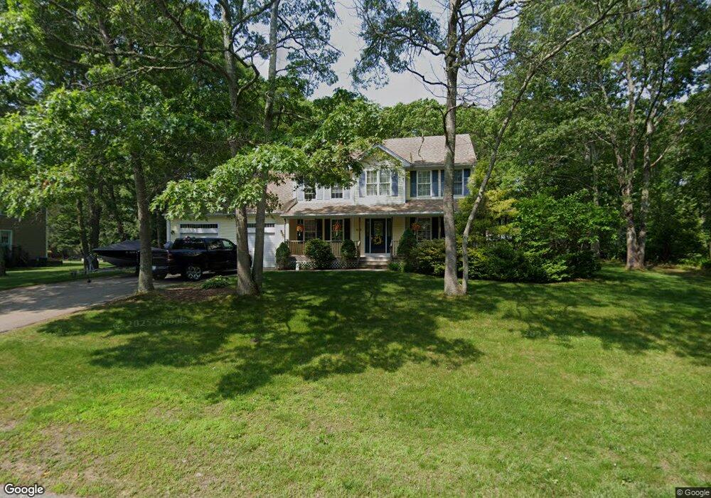
275 Mulberry Dr Wakefield, RI 02879
Estimated Value: $819,881 - $952,000
3
Beds
3
Baths
2,586
Sq Ft
$341/Sq Ft
Est. Value
About This Home
This home is located at 275 Mulberry Dr, Wakefield, RI 02879 and is currently estimated at $881,470, approximately $340 per square foot. 275 Mulberry Dr is a home located in Washington County with nearby schools including South Kingstown High School and South Shore School.
Ownership History
Date
Name
Owned For
Owner Type
Purchase Details
Closed on
Dec 17, 2003
Sold by
Briggs Jeffrey B
Bought by
Lindewall Erick C and Lindewall Jennifer Ann
Current Estimated Value
Home Financials for this Owner
Home Financials are based on the most recent Mortgage that was taken out on this home.
Original Mortgage
$292,500
Interest Rate
5.96%
Mortgage Type
Purchase Money Mortgage
Create a Home Valuation Report for This Property
The Home Valuation Report is an in-depth analysis detailing your home's value as well as a comparison with similar homes in the area
Home Values in the Area
Average Home Value in this Area
Purchase History
| Date | Buyer | Sale Price | Title Company |
|---|---|---|---|
| Lindewall Erick C | $393,750 | -- |
Source: Public Records
Mortgage History
| Date | Status | Borrower | Loan Amount |
|---|---|---|---|
| Open | Lindewall Erick C | $226,000 | |
| Closed | Lindewall Erick C | $236,000 | |
| Closed | Lindewall Erick C | $292,500 |
Source: Public Records
Tax History
| Year | Tax Paid | Tax Assessment Tax Assessment Total Assessment is a certain percentage of the fair market value that is determined by local assessors to be the total taxable value of land and additions on the property. | Land | Improvement |
|---|---|---|---|---|
| 2025 | $6,508 | $728,000 | $235,600 | $492,400 |
| 2024 | $6,535 | $591,400 | $174,300 | $417,100 |
| 2023 | $6,535 | $591,400 | $174,300 | $417,100 |
| 2022 | $6,476 | $591,400 | $174,300 | $417,100 |
| 2021 | $6,445 | $446,000 | $134,100 | $311,900 |
| 2020 | $6,445 | $446,000 | $134,100 | $311,900 |
| 2019 | $6,445 | $446,000 | $134,100 | $311,900 |
| 2018 | $6,375 | $406,600 | $128,200 | $278,400 |
| 2017 | $6,225 | $406,600 | $128,200 | $278,400 |
| 2016 | $6,136 | $406,600 | $128,200 | $278,400 |
| 2015 | $5,769 | $371,700 | $116,600 | $255,100 |
| 2014 | $5,754 | $371,700 | $116,600 | $255,100 |
Source: Public Records
Map
Nearby Homes
- 507 Curtis Corner Rd
- 260 Sweet Allen Farm Rd Unit 3
- 30 Fox Ridge Cir
- 39 Secluded Dr
- 24 Ridge Crest Ln
- 5 Lookout Ln
- 5 Lookout Ln
- 8 Lookout Ln
- 57 Rocky Brook Way
- 1808 Kingstown Rd
- 0 South Rd Unit 1400966
- 23 Rockland Dr
- 48 Stone Bridge Dr
- 301 Church St Unit 103
- 35 Abbey Rd
- 307 White Horn Dr
- 47 Tuckertown Rd
- 131 Columbia St
- 37 Columbia St
- 20 Cleveland St
- 261 Mulberry Dr
- 289 Mulberry Dr
- 63 Bittersweet Ln
- 65 Bittersweet Ln
- 260 Mulberry Dr
- 294 Mulberry Dr
- 301 Mulberry Dr
- 247 Mulberry Dr
- 53 Bittersweet Ln
- 0 Mulberry Dr
- 78 Mulberry Dr
- 68 Dewberry Ln
- 310 Mulberry Dr
- 7 Lupine Ct
- 315 Mulberry Dr
- 233 Mulberry Dr
- 43 Bittersweet Ln
- 61 Inkberry Dr
- 52 Dewberry Ln
- 0 Bittersweet Ln
Your Personal Tour Guide
Ask me questions while you tour the home.