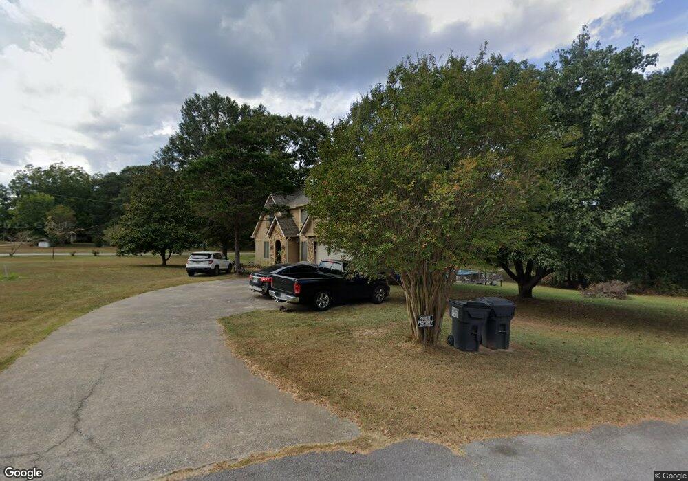
275 Norton Cir Carrollton, GA 30117
Estimated Value: $244,000 - $422,000
4
Beds
3
Baths
3,340
Sq Ft
$111/Sq Ft
Est. Value
About This Home
This home is located at 275 Norton Cir, Carrollton, GA 30117 and is currently estimated at $371,238, approximately $111 per square foot. 275 Norton Cir is a home located in Carroll County with nearby schools including Mt. Zion Elementary School, Mt. Zion Middle School, and Mt. Zion High School.
Ownership History
Date
Name
Owned For
Owner Type
Purchase Details
Closed on
Jun 1, 2019
Sold by
Turner Jane A
Bought by
Turner Jane A and Abercrombie Albert
Current Estimated Value
Purchase Details
Closed on
Sep 2, 2016
Sold by
Johnny M
Bought by
Turner Jane A
Purchase Details
Closed on
Nov 9, 1998
Sold by
Turner Jane A
Bought by
Turner Johnny M and Turner Ja
Purchase Details
Closed on
Oct 15, 1994
Bought by
Turner Jane A
Purchase Details
Closed on
Mar 1, 1989
Bought by
Turner Olin C
Create a Home Valuation Report for This Property
The Home Valuation Report is an in-depth analysis detailing your home's value as well as a comparison with similar homes in the area
Home Values in the Area
Average Home Value in this Area
Purchase History
| Date | Buyer | Sale Price | Title Company |
|---|---|---|---|
| Turner Jane A | -- | -- | |
| Turner Jane A | -- | -- | |
| Turner Johnny M | -- | -- | |
| Turner Jane A | $5,000 | -- | |
| Turner Olin C | -- | -- |
Source: Public Records
Tax History Compared to Growth
Tax History
| Year | Tax Paid | Tax Assessment Tax Assessment Total Assessment is a certain percentage of the fair market value that is determined by local assessors to be the total taxable value of land and additions on the property. | Land | Improvement |
|---|---|---|---|---|
| 2024 | $2,778 | $149,828 | $2,880 | $146,948 |
| 2023 | $2,778 | $136,338 | $2,880 | $133,458 |
| 2022 | $2,339 | $110,004 | $2,880 | $107,124 |
| 2021 | $2,119 | $94,612 | $2,880 | $91,732 |
| 2020 | $1,948 | $85,020 | $2,880 | $82,140 |
| 2019 | $1,834 | $77,924 | $2,880 | $75,044 |
| 2018 | $1,745 | $71,658 | $2,880 | $68,778 |
| 2017 | $1,751 | $71,658 | $2,880 | $68,778 |
| 2016 | $1,751 | $71,658 | $2,880 | $68,778 |
| 2015 | $1,780 | $67,656 | $8,352 | $59,304 |
| 2014 | $1,788 | $67,656 | $8,352 | $59,304 |
Source: Public Records
Map
Nearby Homes
- 1202 Mount Zion Rd
- 304 Kodiak Rd
- 2994 Mount Zion Rd
- 2994 Mount Zion Rd Unit 1
- 2994 Mount Zion Rd Unit 3
- 113 Natures Pointe Trail
- 85 Eureka Church Rd Unit 152
- 33 Armstrong Dr
- 30 Joshua Way
- 10 Joshua Way
- 113 Richmond Dr
- 46 Gammon Rd
- 190 Marvin Gray Rd
- 778 Harrison Rd
- 101 Bonnie Lynn Ln
- 442 Plowshare Rd
- 2070 Lovvorn Rd
- 77 Little River Rd