275 Paula Ln Williams, OR 97544
Estimated Value: $409,000 - $486,021
1
Bed
1
Bath
1,320
Sq Ft
$339/Sq Ft
Est. Value
About This Home
This home is located at 275 Paula Ln, Williams, OR 97544 and is currently estimated at $447,511, approximately $339 per square foot. 275 Paula Ln is a home with nearby schools including Williams Elementary School, Lincoln Savage Middle School, and Hidden Valley High School.
Ownership History
Date
Name
Owned For
Owner Type
Purchase Details
Closed on
May 24, 2021
Sold by
Grillo Christopher James
Bought by
Bullard Gentry Mason and Grillo Christopher James
Current Estimated Value
Purchase Details
Closed on
Jul 11, 2016
Sold by
Kolleda Ronald J and Kolleda Mary A
Bought by
Grillo Christopher
Home Financials for this Owner
Home Financials are based on the most recent Mortgage that was taken out on this home.
Original Mortgage
$105,000
Interest Rate
3.64%
Mortgage Type
Commercial
Purchase Details
Closed on
Aug 6, 2013
Sold by
Kolleda Lance John
Bought by
Kolleda Ronald J and Kolleda Mary A
Create a Home Valuation Report for This Property
The Home Valuation Report is an in-depth analysis detailing your home's value as well as a comparison with similar homes in the area
Home Values in the Area
Average Home Value in this Area
Purchase History
| Date | Buyer | Sale Price | Title Company |
|---|---|---|---|
| Bullard Gentry Mason | -- | None Listed On Document | |
| Grillo Christopher | $150,000 | Ticor Title Company Of Or | |
| Kolleda Ronald J | -- | None Available |
Source: Public Records
Mortgage History
| Date | Status | Borrower | Loan Amount |
|---|---|---|---|
| Previous Owner | Grillo Christopher | $105,000 |
Source: Public Records
Tax History Compared to Growth
Tax History
| Year | Tax Paid | Tax Assessment Tax Assessment Total Assessment is a certain percentage of the fair market value that is determined by local assessors to be the total taxable value of land and additions on the property. | Land | Improvement |
|---|---|---|---|---|
| 2025 | $1,927 | $213,980 | -- | -- |
| 2024 | $1,927 | $207,750 | -- | -- |
| 2023 | $1,624 | $201,700 | $0 | $0 |
| 2022 | $1,637 | $195,830 | -- | -- |
| 2021 | $711 | $83,470 | $0 | $0 |
| 2020 | $729 | $81,040 | $0 | $0 |
| 2019 | $704 | $78,680 | $0 | $0 |
| 2018 | $712 | $76,390 | $0 | $0 |
| 2017 | $709 | $74,170 | $0 | $0 |
| 2016 | $160 | $23,380 | $0 | $0 |
| 2015 | $155 | $22,700 | $0 | $0 |
| 2014 | $151 | $22,040 | $0 | $0 |
Source: Public Records
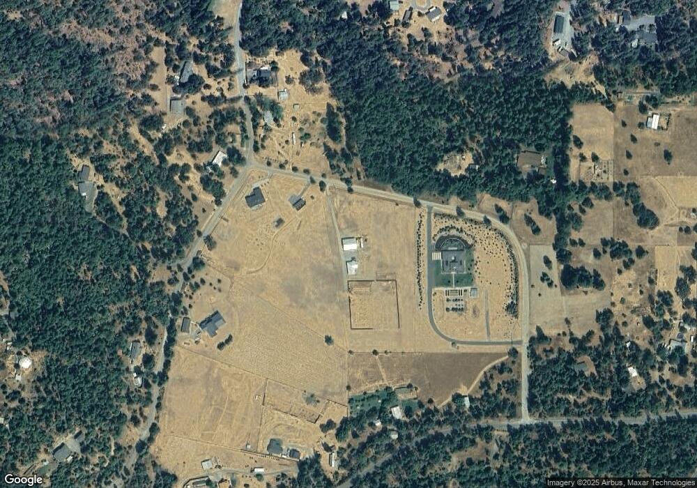
Map
Nearby Homes
- 252 Glenlyn Dr
- 199 Powell Creek Rd
- 12748 Water Gap Rd
- 701 Messinger Rd
- 701 Messinger Rd
- 18200 Williams Hwy
- 532 Sheraton Dr
- 17013 Williams Hwy
- 12019 Williams Hwy
- 18485 Williams Hwy
- 15950 Highway 238
- 321 Kubli Rd
- 13990 N Applegate Rd
- 20541 Williams Hwy
- 17600 Highway 238
- 858 Missouri Flat Rd
- 1190 Cedar Flat Rd
- 8882 Williams Hwy
- 17252 N Applegate Rd
- 818 Slagle Creek Rd
- 575 Dreamhill Dr
- 130 Paula Ln
- 0 Dreamhill Dr
- 551 Dreamhill Dr
- 570 Dreamhill Dr
- 160 Upper Powell Creek Rd
- 515 Dreamhill Dr
- 285 Upper Powell Creek Rd
- 200 Paula
- 540 Dreamhill Dr
- 700 Dreamhill Dr
- 295 Dreamhill Dr
- 315 Dreamhill Dr
- 122 Paula Ln
- 385 Upper Powell Creek Rd
- 580 Dreamhill Dr
- 263 Dreamhill Dr
- 199 Dreamhill Dr
- 14566 Watergap Rd
- 112 Upper Powell Creek Rd