275 Scotts Point Rd Clifton, ME 04428
Estimated Value: $414,000 - $493,000
2
Beds
2
Baths
1,120
Sq Ft
$399/Sq Ft
Est. Value
About This Home
This home is located at 275 Scotts Point Rd, Clifton, ME 04428 and is currently estimated at $446,852, approximately $398 per square foot. 275 Scotts Point Rd is a home located in Penobscot County.
Ownership History
Date
Name
Owned For
Owner Type
Purchase Details
Closed on
Oct 22, 2018
Sold by
Persson Per O and Persson Candy L
Bought by
Fuhrer Scott N and Fuhrer Theresa A
Current Estimated Value
Home Financials for this Owner
Home Financials are based on the most recent Mortgage that was taken out on this home.
Original Mortgage
$150,000
Outstanding Balance
$130,539
Interest Rate
4.5%
Mortgage Type
New Conventional
Estimated Equity
$316,313
Purchase Details
Closed on
May 31, 2011
Sold by
Gates Const Inc
Bought by
Persson Per O and Persson Candy L
Home Financials for this Owner
Home Financials are based on the most recent Mortgage that was taken out on this home.
Original Mortgage
$196,000
Interest Rate
4.94%
Mortgage Type
Purchase Money Mortgage
Create a Home Valuation Report for This Property
The Home Valuation Report is an in-depth analysis detailing your home's value as well as a comparison with similar homes in the area
Home Values in the Area
Average Home Value in this Area
Purchase History
| Date | Buyer | Sale Price | Title Company |
|---|---|---|---|
| Fuhrer Scott N | -- | -- | |
| Persson Per O | -- | -- |
Source: Public Records
Mortgage History
| Date | Status | Borrower | Loan Amount |
|---|---|---|---|
| Open | Fuhrer Scott N | $150,000 | |
| Previous Owner | Persson Per O | $196,000 |
Source: Public Records
Tax History Compared to Growth
Tax History
| Year | Tax Paid | Tax Assessment Tax Assessment Total Assessment is a certain percentage of the fair market value that is determined by local assessors to be the total taxable value of land and additions on the property. | Land | Improvement |
|---|---|---|---|---|
| 2024 | $4,188 | $226,400 | $76,700 | $149,700 |
| 2023 | $3,079 | $226,400 | $76,700 | $149,700 |
| 2022 | $3,238 | $226,400 | $76,700 | $149,700 |
| 2021 | $3,216 | $218,800 | $76,700 | $142,100 |
| 2020 | $3,216 | $218,800 | $76,700 | $142,100 |
| 2019 | $3,238 | $218,800 | $76,700 | $142,100 |
| 2018 | $3,019 | $218,800 | $76,700 | $142,100 |
| 2017 | $3,019 | $218,800 | $76,700 | $142,100 |
| 2016 | $3,063 | $218,800 | $76,700 | $142,100 |
| 2015 | $3,129 | $218,800 | $76,700 | $142,100 |
| 2014 | $2,757 | $218,800 | $76,700 | $142,100 |
| 2013 | $2,757 | $218,800 | $76,700 | $142,100 |
Source: Public Records
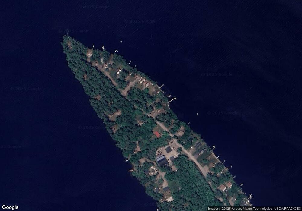
Map
Nearby Homes
- 386 Airline Rd
- Lot 10-1 Airline Rd
- 93 Forestry Ln
- Lot 15-1 Forestry Ln
- Lot 16 Forestry Ln
- Lot 17 Forestry Ln
- 46 Pond Rd
- 1068 Main Rd
- Map7 Lot14 Chestnut Ln
- 0 Tbd Chemo Pond Rd
- 36 Comins Ln
- 00 Bradbury Brook Rd
- Lot 12 Katahdin Way
- 40 Katahdin Way
- 5 Chick Hill Rd
- 271 Clark Hill Rd
- 451 Levenseller Rd
- M2L1 Springy Pond Rd
- 12 Paradise Cove
- 10 Coffey Hill Way
- 285 Scotts Point Rd
- 275 Scott's Point Rd
- 295 Scott Point Rd
- 305 Scotts Point Rd
- 279 Scotts Point Rd
- 279 Scott Point Rd
- 301 Scotts Point Rd
- 300 Scotts Point Rd
- 265 Scotts Point Rd
- 305 Scotts Point Rd
- 278 Scotts Point Rd
- 302 Scotts Point Rd
- 306 Scotts Point Rd
- 261 Scotts Point Rd
- 290 Scott Point Rd
- 272 Scotts Point Rd
- 309 Scotts Point Rd
- 290 Scotts Point Rd
- 257 Scotts Point Rd
- 311 Scotts Point Rd