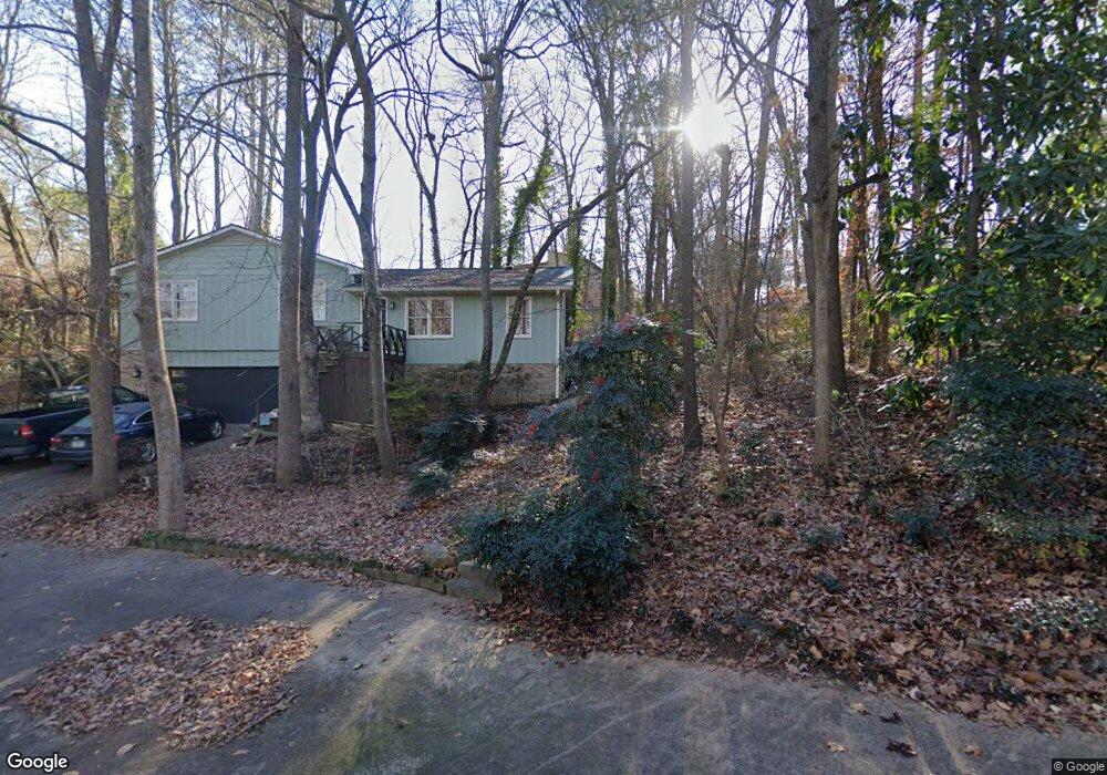
275 Spalding Cir Athens, GA 30605
Estimated Value: $291,000 - $312,000
3
Beds
2
Baths
1,484
Sq Ft
$202/Sq Ft
Est. Value
About This Home
This home is located at 275 Spalding Cir, Athens, GA 30605 and is currently estimated at $300,209, approximately $202 per square foot. 275 Spalding Cir is a home located in Clarke County with nearby schools including Barnett Shoals Elementary School, Hilsman Middle School, and Cedar Shoals High School.
Ownership History
Date
Name
Owned For
Owner Type
Purchase Details
Closed on
Jul 27, 2001
Sold by
Williams John N Sr Sheila Cook
Bought by
Skelton Bradley
Current Estimated Value
Purchase Details
Closed on
Jul 31, 1997
Sold by
Trost Peter A and Peter Collin Trost
Bought by
Williams John N Sr Sheila Cook Will
Purchase Details
Closed on
Jun 6, 1994
Sold by
Tomlin Jimmie A and Tomlin Charlotte
Bought by
Trost Peter A and Trost Peter Collin
Create a Home Valuation Report for This Property
The Home Valuation Report is an in-depth analysis detailing your home's value as well as a comparison with similar homes in the area
Home Values in the Area
Average Home Value in this Area
Purchase History
| Date | Buyer | Sale Price | Title Company |
|---|---|---|---|
| Skelton Bradley | $117,000 | -- | |
| Williams John N Sr Sheila Cook Will | $87,000 | -- | |
| Trost Peter A | $77,500 | -- |
Source: Public Records
Tax History Compared to Growth
Tax History
| Year | Tax Paid | Tax Assessment Tax Assessment Total Assessment is a certain percentage of the fair market value that is determined by local assessors to be the total taxable value of land and additions on the property. | Land | Improvement |
|---|---|---|---|---|
| 2025 | $2,511 | $99,770 | $12,000 | $87,770 |
| 2024 | $2,511 | $92,192 | $12,000 | $80,192 |
| 2023 | $1,619 | $86,804 | $12,000 | $74,804 |
| 2022 | $2,127 | $76,664 | $12,000 | $64,664 |
| 2021 | $1,744 | $61,750 | $12,000 | $49,750 |
| 2020 | $1,604 | $57,589 | $12,000 | $45,589 |
| 2019 | $1,536 | $55,252 | $12,000 | $43,252 |
| 2018 | $1,457 | $52,930 | $12,000 | $40,930 |
| 2017 | $1,219 | $45,911 | $12,000 | $33,911 |
| 2016 | $1,232 | $46,296 | $12,000 | $34,296 |
| 2015 | $1,239 | $46,429 | $12,000 | $34,429 |
| 2014 | $1,274 | $47,399 | $12,000 | $35,399 |
Source: Public Records
Map
Nearby Homes
- 265 Spalding Cir
- 315 Caldwell Cir
- 162 Spalding Ct
- 325 Caldwell Cir
- 142 Spalding Ct
- 280 Spalding Cir
- 270 Spalding Cir
- 255 Spalding Cir Unit n/a
- 255 Spalding Cir
- 130 Spalding Ct
- 172 Spalding Ct
- 260 Spalding Cir
- 345 Caldwell Cir
- 300 Spalding Cir
- 167 Spalding Ct
- 320 Caldwell Cir
- 305 Spalding Cir
- 120 Spalding Ct
- 225 Spalding Cir
- 147 Spalding Ct