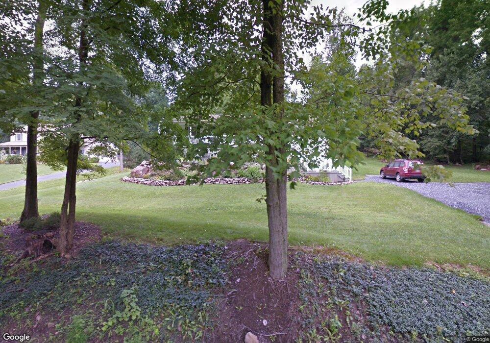
275 Stony Lane Rd Stevens, PA 17578
Estimated Value: $392,000 - $536,000
3
Beds
2
Baths
1,576
Sq Ft
$288/Sq Ft
Est. Value
About This Home
This home is located at 275 Stony Lane Rd, Stevens, PA 17578 and is currently estimated at $454,374, approximately $288 per square foot. 275 Stony Lane Rd is a home located in Lancaster County with nearby schools including Clay Elementary School, Ephrata Intermediate School, and Ephrata Senior High School.
Ownership History
Date
Name
Owned For
Owner Type
Purchase Details
Closed on
Oct 29, 1999
Sold by
Refreshing Mountain Camp Inc
Bought by
Burns Christopher A and Burns Donna L
Current Estimated Value
Home Financials for this Owner
Home Financials are based on the most recent Mortgage that was taken out on this home.
Original Mortgage
$124,000
Outstanding Balance
$38,724
Interest Rate
8.05%
Estimated Equity
$415,650
Create a Home Valuation Report for This Property
The Home Valuation Report is an in-depth analysis detailing your home's value as well as a comparison with similar homes in the area
Home Values in the Area
Average Home Value in this Area
Purchase History
| Date | Buyer | Sale Price | Title Company |
|---|---|---|---|
| Burns Christopher A | $35,000 | -- |
Source: Public Records
Mortgage History
| Date | Status | Borrower | Loan Amount |
|---|---|---|---|
| Open | Burns Christopher A | $124,000 |
Source: Public Records
Tax History Compared to Growth
Tax History
| Year | Tax Paid | Tax Assessment Tax Assessment Total Assessment is a certain percentage of the fair market value that is determined by local assessors to be the total taxable value of land and additions on the property. | Land | Improvement |
|---|---|---|---|---|
| 2025 | $5,469 | $238,800 | $69,900 | $168,900 |
| 2024 | $5,469 | $238,800 | $69,900 | $168,900 |
| 2023 | $5,328 | $238,800 | $69,900 | $168,900 |
| 2022 | $5,206 | $238,800 | $69,900 | $168,900 |
| 2021 | $5,094 | $238,800 | $69,900 | $168,900 |
| 2020 | $5,094 | $238,800 | $69,900 | $168,900 |
| 2019 | $5,022 | $238,800 | $69,900 | $168,900 |
| 2018 | $3,920 | $238,800 | $69,900 | $168,900 |
| 2017 | $4,822 | $189,200 | $43,200 | $146,000 |
| 2016 | $4,822 | $189,200 | $43,200 | $146,000 |
| 2015 | $953 | $189,200 | $43,200 | $146,000 |
| 2014 | $3,581 | $189,200 | $43,200 | $146,000 |
Source: Public Records
Map
Nearby Homes
- 335 N Clay Rd
- 100 Lilly Dr
- 406 Mount Olive Ln
- 125 Indiantown Rd
- 1265 Seglock Rd
- 2002 W Main St Unit 74
- 2002 W Main St Unit 63
- 490 Weidmansville Rd
- 0 Weidmansville Rd
- 329 Sunnyside Rd
- Amberbrook Plan at Wyndale
- Northfield Plan at Wyndale
- Logan Plan at Wyndale
- Stonecroft Plan at Wyndale
- Darien Plan at Wyndale
- Atworth Plan at Wyndale
- Magnolia Plan at Wyndale
- Baker Plan at Wyndale
- Huntington Plan at Wyndale
- Westbrooke Plan at Wyndale
- 273 Stony Lane Rd
- 272 Stony Lane Rd
- 270 Stony Lane Rd
- 1410 Furnace Hills Pike
- 1190 Forest Hill Rd
- 1385 Furnace Hill Rd
- 1430 Furnace Hill Rd
- 1225 Forest Hill Rd
- 1369 Furnace Hill Rd
- 355 Camp Rd
- 1450 Furnace Hill Rd
- 1380 Furnace Hill Rd
- 1090 Forest Hill Rd
- 1367 Furnace Hill Rd
- 1060 Forest Hill Rd
- 1470 Furnace Hill Rd
- 1376 Furnace Hill Rd
- 278 Stony Lane Rd
- 1080 Forest Hill Rd
- 0 NE Corner of Camp Rd Stony Ln Rd Unit 245866