275 Township Line Rd Elverson, PA 19520
West Nantmeal NeighborhoodEstimated Value: $564,000 - $667,000
3
Beds
3
Baths
2,996
Sq Ft
$211/Sq Ft
Est. Value
About This Home
This home is located at 275 Township Line Rd, Elverson, PA 19520 and is currently estimated at $630,992, approximately $210 per square foot. 275 Township Line Rd is a home located in Chester County with nearby schools including Twin Valley Elementary Center, Twin Valley Middle School, and Twin Valley High School.
Ownership History
Date
Name
Owned For
Owner Type
Purchase Details
Closed on
Aug 15, 2025
Sold by
Dymond Maryann
Bought by
Mcmullen Andrew and Mcmullen Erin
Current Estimated Value
Home Financials for this Owner
Home Financials are based on the most recent Mortgage that was taken out on this home.
Original Mortgage
$222,750
Outstanding Balance
$222,558
Interest Rate
6.75%
Mortgage Type
VA
Estimated Equity
$408,434
Create a Home Valuation Report for This Property
The Home Valuation Report is an in-depth analysis detailing your home's value as well as a comparison with similar homes in the area
Home Values in the Area
Average Home Value in this Area
Purchase History
| Date | Buyer | Sale Price | Title Company |
|---|---|---|---|
| Mcmullen Andrew | -- | None Listed On Document | |
| Dymond Maryann | -- | None Listed On Document |
Source: Public Records
Mortgage History
| Date | Status | Borrower | Loan Amount |
|---|---|---|---|
| Open | Mcmullen Andrew | $222,750 |
Source: Public Records
Tax History Compared to Growth
Tax History
| Year | Tax Paid | Tax Assessment Tax Assessment Total Assessment is a certain percentage of the fair market value that is determined by local assessors to be the total taxable value of land and additions on the property. | Land | Improvement |
|---|---|---|---|---|
| 2025 | $6,775 | $179,550 | $59,610 | $119,940 |
| 2024 | $6,775 | $179,550 | $59,610 | $119,940 |
| 2023 | $6,618 | $179,550 | $59,610 | $119,940 |
| 2022 | $6,544 | $179,550 | $59,610 | $119,940 |
| 2021 | $6,349 | $179,550 | $59,610 | $119,940 |
| 2020 | $6,317 | $179,550 | $59,610 | $119,940 |
| 2019 | $6,192 | $179,550 | $59,610 | $119,940 |
| 2018 | $8,779 | $254,590 | $59,610 | $194,980 |
| 2017 | $8,570 | $254,590 | $59,610 | $194,980 |
| 2016 | $6,921 | $254,590 | $59,610 | $194,980 |
| 2015 | $6,921 | $254,590 | $59,610 | $194,980 |
| 2014 | $6,921 | $254,590 | $59,610 | $194,980 |
Source: Public Records
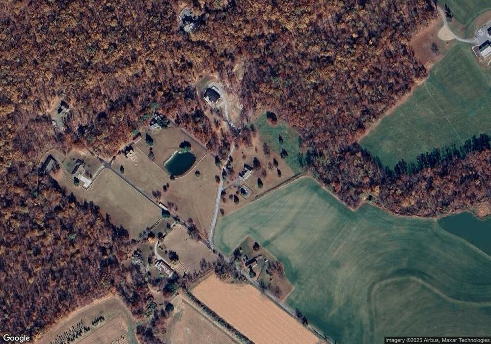
Map
Nearby Homes
- 1 Senn Ln
- 222 Merwood Dr
- 214 Merwood Dr
- 281 Merwood Dr
- 7 Horseshoe Dr
- 10 Woods Rd
- 0 Heritage Dr Unit 4A PABK2058798
- 85 Bollinger Rd
- 24 Wexford Ct
- 44 Wexford Ct
- 600 Country Ln
- 102 Country Ln
- 40 Chatham Dr Unit 40
- 1402 Ridgeview Dr
- 8 Parkside Dr
- 619 Homestead Dr
- 650 Dampman Rd
- 219 S Pine St
- 3511 Main St
- 52 W Main St
- 381 Township Line Rd
- 250 Township Line Rd
- 310 Township Line Rd
- 334 Township Line Rd
- 320 Township Line Rd
- 0 Township Line Rd Unit PACT482728
- 82 Township Line Rd
- 648 Morgantown Rd
- 227 Beam Rd
- 10 Township Line Rd
- 1000 Morgantown Rd
- 229 Beam Rd
- 868 Morgantown Rd
- 1020 Morgantown Rd
- 656 Morgantown Rd
- 511 Township Line Rd
- 649 Morgantown Rd
- 975 Morgantown Rd
- 610 Morgantown Rd
- 1040 Morgantown Rd