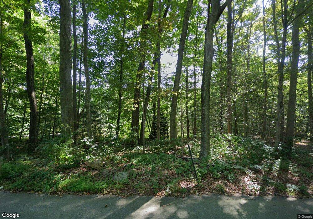
275 Westbrook Rd Deep River, CT 06417
Estimated Value: $732,000 - $869,634
3
Beds
3
Baths
3,261
Sq Ft
$246/Sq Ft
Est. Value
About This Home
This home is located at 275 Westbrook Rd, Deep River, CT 06417 and is currently estimated at $801,659, approximately $245 per square foot. 275 Westbrook Rd is a home with nearby schools including Valley Regional High School.
Ownership History
Date
Name
Owned For
Owner Type
Purchase Details
Closed on
Sep 22, 2023
Sold by
Flagge Dustin K and Flagge Nicole
Bought by
Nicole Flagge Lt 9 22 202 and Flagge
Current Estimated Value
Purchase Details
Closed on
Nov 12, 2014
Sold by
Gullitti Builders Inc
Bought by
Flagge Dustin K and Flagge Nicole
Home Financials for this Owner
Home Financials are based on the most recent Mortgage that was taken out on this home.
Original Mortgage
$339,763
Interest Rate
4.17%
Mortgage Type
New Conventional
Purchase Details
Closed on
Oct 2, 2013
Sold by
Maynard Jeannine
Bought by
Gullitti Builders Inc
Create a Home Valuation Report for This Property
The Home Valuation Report is an in-depth analysis detailing your home's value as well as a comparison with similar homes in the area
Home Values in the Area
Average Home Value in this Area
Purchase History
| Date | Buyer | Sale Price | Title Company |
|---|---|---|---|
| Nicole Flagge Lt 9 22 202 | -- | None Available | |
| Flagge Dustin K | $424,704 | -- | |
| Gullitti Builders Inc | $110,000 | -- |
Source: Public Records
Mortgage History
| Date | Status | Borrower | Loan Amount |
|---|---|---|---|
| Previous Owner | Flagge Dustin K | $339,763 |
Source: Public Records
Tax History Compared to Growth
Tax History
| Year | Tax Paid | Tax Assessment Tax Assessment Total Assessment is a certain percentage of the fair market value that is determined by local assessors to be the total taxable value of land and additions on the property. | Land | Improvement |
|---|---|---|---|---|
| 2025 | $13,300 | $415,870 | $90,790 | $325,080 |
| 2024 | $12,116 | $386,120 | $90,790 | $295,330 |
| 2023 | $11,537 | $386,120 | $90,790 | $295,330 |
| 2022 | $11,537 | $398,090 | $90,790 | $307,300 |
| 2021 | $11,776 | $398,090 | $90,790 | $307,300 |
| 2020 | $10,610 | $353,780 | $76,510 | $277,270 |
| 2019 | $9,259 | $314,720 | $76,510 | $238,210 |
| 2018 | $9,259 | $314,720 | $76,510 | $238,210 |
| 2017 | $9,102 | $314,720 | $76,510 | $238,210 |
| 2016 | $8,664 | $314,720 | $76,510 | $238,210 |
| 2015 | $8,057 | $306,600 | $128,660 | $177,940 |
| 2014 | $3,330 | $128,660 | $128,660 | $0 |
Source: Public Records
Map
Nearby Homes
- 200 Westbrook Rd
- 180 Malabar Dr
- 0 Glen Grove Rd
- 86 Bushy Hill Rd
- 41 Bushy Hill Rd
- 538 Winthrop Rd
- 112 Cedar Swamp Rd
- 47 Plains Rd
- 92 Warsaw St
- 20 Comstock Ave Unit 3D
- 20 Comstock Ave Unit 4C
- 0 Kelseytown Bridge Rd
- 1 Houperts Way
- 214 Kelsey Hill Rd
- 40 Kelseytown Rd
- 100 N Tower Hill Rd
- 130 Mares Hill Rd
- 25 Kelseytown Bridge Rd
- 48A Ironworks Rd
- 31 Whittlesey Brook Rd
- 266 Westbrook Rd
- 278 Westbrook Rd
- 257 Westbrook Rd
- 284 Westbrook Rd
- 293 Westbrook Rd
- 256 Westbrook Rd
- 301 Westbrook Rd
- 250 Westbrook Rd
- 248 Westbrook Rd
- 270 Westbrook Rd
- 274 Westbrook Rd
- 305 Westbrook Rd
- 245 Westbrook Rd
- 244 Westbrook Rd
- 272 Westbrook Rd
- 238 Westbrook Rd
- 233 Westbrook Rd
- 229 Westbrook Rd
- 325 Westbrook Rd
- 226 Westbrook Rd
