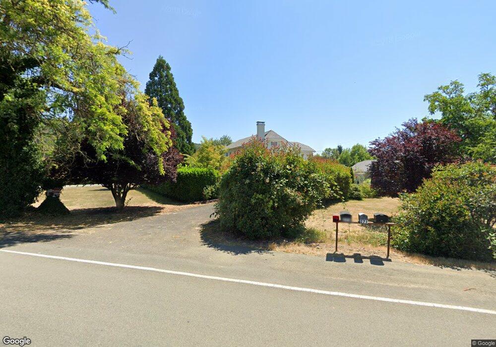
275 Winston Section Rd Winston, OR 97496
Estimated Value: $490,000 - $848,000
5
Beds
2
Baths
3,124
Sq Ft
$215/Sq Ft
Est. Value
About This Home
This home is located at 275 Winston Section Rd, Winston, OR 97496 and is currently estimated at $670,263, approximately $214 per square foot. 275 Winston Section Rd is a home located in Douglas County with nearby schools including Douglas High School.
Ownership History
Date
Name
Owned For
Owner Type
Purchase Details
Closed on
May 3, 2012
Sold by
Hoard Shirley I
Bought by
Warren Nathan R and Warren Kari D
Current Estimated Value
Home Financials for this Owner
Home Financials are based on the most recent Mortgage that was taken out on this home.
Original Mortgage
$314,032
Outstanding Balance
$216,437
Interest Rate
3.94%
Mortgage Type
VA
Estimated Equity
$453,826
Create a Home Valuation Report for This Property
The Home Valuation Report is an in-depth analysis detailing your home's value as well as a comparison with similar homes in the area
Home Values in the Area
Average Home Value in this Area
Purchase History
| Date | Buyer | Sale Price | Title Company |
|---|---|---|---|
| Warren Nathan R | $304,000 | First American Title Ins Co |
Source: Public Records
Mortgage History
| Date | Status | Borrower | Loan Amount |
|---|---|---|---|
| Open | Warren Nathan R | $314,032 |
Source: Public Records
Tax History
| Year | Tax Paid | Tax Assessment Tax Assessment Total Assessment is a certain percentage of the fair market value that is determined by local assessors to be the total taxable value of land and additions on the property. | Land | Improvement |
|---|---|---|---|---|
| 2025 | $3,235 | $262,055 | -- | -- |
| 2024 | $3,145 | $254,423 | -- | -- |
| 2023 | $3,058 | $247,013 | $0 | $0 |
| 2022 | $2,966 | $239,819 | $0 | $0 |
| 2021 | $2,888 | $232,834 | $0 | $0 |
| 2020 | $2,805 | $226,053 | $0 | $0 |
| 2019 | $2,743 | $219,469 | $0 | $0 |
| 2018 | $2,672 | $213,077 | $0 | $0 |
| 2017 | $2,605 | $206,871 | $0 | $0 |
| 2016 | $2,537 | $200,846 | $0 | $0 |
| 2015 | $2,479 | $194,997 | $0 | $0 |
| 2014 | $2,429 | $189,318 | $0 | $0 |
| 2013 | -- | $183,804 | $0 | $0 |
Source: Public Records
Map
Nearby Homes
- 0 Old Highway 99 S
- 308 Helweg Rd
- 176 Nehalem Loop
- 231 NE Darrell Ave
- 151 NE Plum Ridge Dr
- 105 Lebleu Ln
- 10 SE Kegler Ave
- 80 NW Lost Ln
- 241 SE Johnson St
- 140 Erin Ct
- 350 View Point Terrace
- 621 Highland Vista Ln
- 700 SE Tokay St
- 31 SE Darrell Ave
- 380 SE Sunnyside Dr
- 380 Sunnyside Dr
- 90 SE Darrell Ave
- 633 Highland Vista Ln
- 271 SE Robinson St
- 180 Twin Oaks Loop
- 271 Winston Section Rd
- 250 Winston Section Rd
- 310 Winston Section Rd
- 350 Winston Section Rd
- 201 Winston Section Rd
- 148 Winston Section Rd
- 161 Winston Section Rd
- 400 Winston Section Rd
- 151 Winston Section Rd
- 124 Winston Section Rd
- 141 Winston Section Rd
- 120 Winston Section Rd
- 278 Pepsi Rd
- 105 Cola Rd
- 123 Winston Section Rd
- 105 Cola St
- 460 Winston Section Rd
- 482 Winston Section Rd
- 495 Winston Section Rd
- 127 Cola Rd
Your Personal Tour Guide
Ask me questions while you tour the home.