Estimated Value: $170,000 - $226,000
2
Beds
1
Bath
1,015
Sq Ft
$191/Sq Ft
Est. Value
About This Home
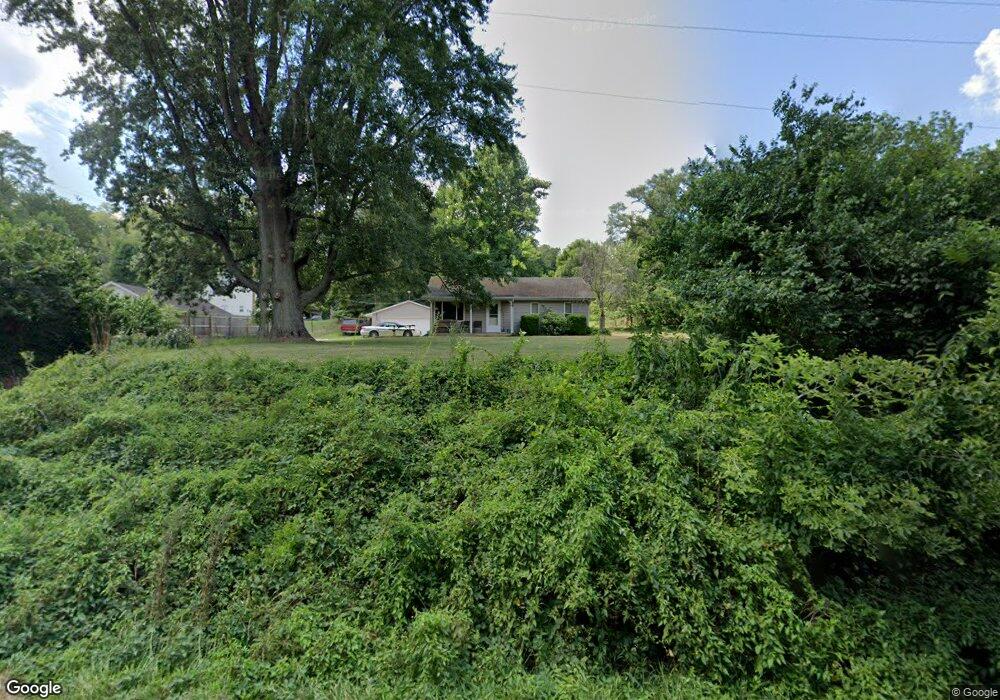
This home is located at 2750 Copp Rd, Niles, MI 49120 and is currently estimated at $193,962, approximately $191 per square foot. 2750 Copp Rd is a home located in Berrien County with nearby schools including Merritt Elementary School, Brandywine Elementary School, and Brandywine Middle School.
Ownership History
Date
Name
Owned For
Owner Type
Purchase Details
Closed on
Jun 20, 2005
Sold by
Shively Donald Mark and Shively Amy
Bought by
Chubb James M
Current Estimated Value
Home Financials for this Owner
Home Financials are based on the most recent Mortgage that was taken out on this home.
Original Mortgage
$100,000
Outstanding Balance
$52,575
Interest Rate
5.87%
Mortgage Type
Fannie Mae Freddie Mac
Estimated Equity
$141,387
Purchase Details
Closed on
Nov 15, 1995
Purchase Details
Closed on
Jun 21, 1993
Purchase Details
Closed on
Nov 17, 1988
Purchase Details
Closed on
May 27, 1986
Create a Home Valuation Report for This Property
The Home Valuation Report is an in-depth analysis detailing your home's value as well as a comparison with similar homes in the area
Purchase History
| Date | Buyer | Sale Price | Title Company |
|---|---|---|---|
| Chubb James M | $105,500 | Meridian Title Corp | |
| -- | -- | -- | |
| -- | $37,100 | -- | |
| -- | $39,900 | -- | |
| -- | $35,000 | -- |
Source: Public Records
Mortgage History
| Date | Status | Borrower | Loan Amount |
|---|---|---|---|
| Open | Chubb James M | $100,000 |
Source: Public Records
Tax History
| Year | Tax Paid | Tax Assessment Tax Assessment Total Assessment is a certain percentage of the fair market value that is determined by local assessors to be the total taxable value of land and additions on the property. | Land | Improvement |
|---|---|---|---|---|
| 2025 | $1,024 | $64,000 | $0 | $0 |
| 2024 | $553 | $58,500 | $0 | $0 |
| 2023 | $526 | $51,300 | $0 | $0 |
| 2022 | $501 | $45,100 | $0 | $0 |
| 2021 | $918 | $43,700 | $14,600 | $29,100 |
| 2020 | $915 | $44,200 | $0 | $0 |
| 2019 | $899 | $35,200 | $10,700 | $24,500 |
Source: Public Records
Map
Nearby Homes
- 1610 Whitetail Cir
- 1640 Forest St
- 1650 Whitetail Cir
- 2710 Weaver Rd
- 1680 River Bend Blvd
- 1670 River Bend Blvd
- 2618 Bond St
- 110 Ontario Rd
- 2816 Madison St
- 1560 Stonecreek Dr Unit 14
- 242 Higgins St
- 2639 S 3rd St
- 317 E Bertrand Rd
- 321 E Bertrand Rd
- 50615 Oakland Ave
- 20162 Wedgewood Dr
- 3120 Woodlawn St
- 1110 Dewitt Ave
- 50632 Kenilworth Rd
- Lot 4 Persimmon Dr Unit 4
- 2760 Copp Rd
- 1250 W Bertrand Rd
- 2780 Copp Rd
- 1195 W Bertrand Rd
- 2765 Copp Rd
- 2775 Copp Rd
- 1185 W Bertrand Rd
- 1280 W Bertrand Rd
- 2795 Copp Rd
- 2784 Copp Rd
- 1260 W Bertrand Rd
- 2790 Copp Rd
- 1295 W Bertrand Rd
- 1135 Shoreland Dr
- 2810 Copp Rd
- 1255 W Bertrand Rd
- 1105 Shoreland Dr
- 1315 W Bertrand Rd
- 1160 Shoreland Dr
- 1150 Shoreland Dr
Your Personal Tour Guide
Ask me questions while you tour the home.