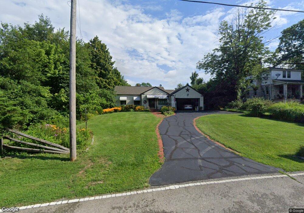
2750 Diehl Rd Cincinnati, OH 45211
South Monfort Heights NeighborhoodEstimated Value: $214,000 - $262,000
2
Beds
2
Baths
1,387
Sq Ft
$166/Sq Ft
Est. Value
About This Home
This home is located at 2750 Diehl Rd, Cincinnati, OH 45211 and is currently estimated at $229,931, approximately $165 per square foot. 2750 Diehl Rd is a home located in Hamilton County with nearby schools including Cheviot Elementary School, Western Hills High School, and Gilbert A. Dater High School.
Ownership History
Date
Name
Owned For
Owner Type
Purchase Details
Closed on
Oct 29, 2001
Sold by
Hissett Robert C and Hissett Jane Sarah
Bought by
Hissett Robert C and Hissett Sarah Jane
Current Estimated Value
Purchase Details
Closed on
Sep 15, 1999
Sold by
Siefert Ethel H
Bought by
Hissett Robert C and Hissett Sarah Jane
Home Financials for this Owner
Home Financials are based on the most recent Mortgage that was taken out on this home.
Original Mortgage
$76,800
Interest Rate
7.93%
Purchase Details
Closed on
Dec 12, 1998
Sold by
Siefert Melvin E
Bought by
Siefert Ethel H
Create a Home Valuation Report for This Property
The Home Valuation Report is an in-depth analysis detailing your home's value as well as a comparison with similar homes in the area
Home Values in the Area
Average Home Value in this Area
Purchase History
| Date | Buyer | Sale Price | Title Company |
|---|---|---|---|
| Hissett Robert C | -- | -- | |
| Hissett Robert C | $96,000 | Cambridge Land Title Agency | |
| Siefert Ethel H | -- | -- |
Source: Public Records
Mortgage History
| Date | Status | Borrower | Loan Amount |
|---|---|---|---|
| Closed | Hissett Robert C | $76,800 |
Source: Public Records
Tax History
| Year | Tax Paid | Tax Assessment Tax Assessment Total Assessment is a certain percentage of the fair market value that is determined by local assessors to be the total taxable value of land and additions on the property. | Land | Improvement |
|---|---|---|---|---|
| 2025 | $2,645 | $53,841 | $10,742 | $43,099 |
| 2024 | $2,578 | $53,841 | $10,742 | $43,099 |
| 2023 | $2,679 | $53,841 | $10,742 | $43,099 |
| 2022 | $1,789 | $33,667 | $10,654 | $23,013 |
| 2021 | $1,613 | $33,667 | $10,654 | $23,013 |
| 2020 | $1,651 | $33,667 | $10,654 | $23,013 |
| 2019 | $1,437 | $28,291 | $8,953 | $19,338 |
| 2018 | $1,440 | $28,291 | $8,953 | $19,338 |
| 2017 | $1,368 | $28,291 | $8,953 | $19,338 |
| 2016 | $2,281 | $31,787 | $8,862 | $22,925 |
| 2015 | $2,055 | $31,787 | $8,862 | $22,925 |
| 2014 | $2,069 | $31,787 | $8,862 | $22,925 |
| 2013 | $2,025 | $32,109 | $8,953 | $23,156 |
Source: Public Records
Map
Nearby Homes
- 4771 Shepherd Creek Rd
- 3298 Kleeman Rd
- 3318 Kleeman Rd
- 2097 W Fork Rd
- 3376 Kleeman Rd
- 3236 Van Zandt Dr
- 3383 Emerald Lakes Dr
- 4798 N Bend Rd
- 4830 N Bend Rd
- 4808 N Bend Rd
- 4175 Boudinot Ave
- 3118 Westwood Northern Blvd
- 4790 N Bend Rd
- 2454 Mustang Dr
- 2456 Mustang Dr Unit 13
- 2458 Mustang Dr
- 5277 Orchardridge Ct
- 2508 Mustang Dr
- 3311 Augusta Ave
- 4911 N Bend Rd
Your Personal Tour Guide
Ask me questions while you tour the home.