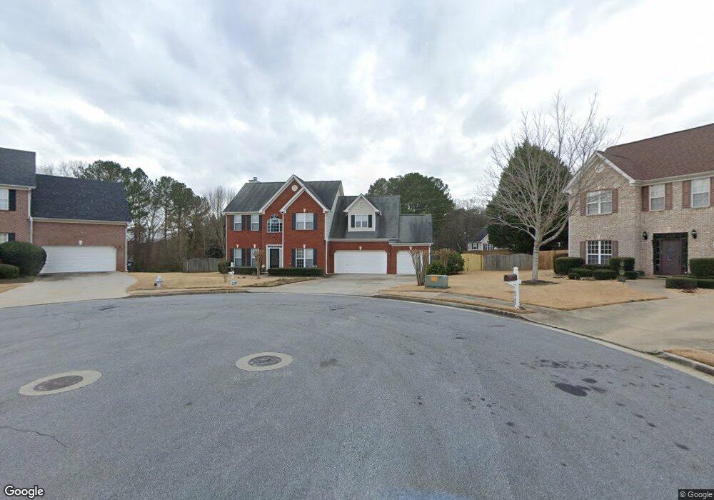
2750 Lake Commons Ct Snellville, GA 30078
Estimated Value: $357,000 - $392,000
4
Beds
3
Baths
2,475
Sq Ft
$152/Sq Ft
Est. Value
About This Home
This home is located at 2750 Lake Commons Ct, Snellville, GA 30078 and is currently estimated at $377,259, approximately $152 per square foot. 2750 Lake Commons Ct is a home located in Gwinnett County with nearby schools including Britt Elementary School, Snellville Middle School, and South Gwinnett High School.
Ownership History
Date
Name
Owned For
Owner Type
Purchase Details
Closed on
Feb 24, 2025
Sold by
Peringagttupara Baby O
Bought by
Yeldho Lissy P
Current Estimated Value
Purchase Details
Closed on
Jul 31, 2001
Sold by
Homes By Ken Butera Inc
Bought by
Peringagttuparampi Baby O
Home Financials for this Owner
Home Financials are based on the most recent Mortgage that was taken out on this home.
Original Mortgage
$139,900
Interest Rate
7.19%
Mortgage Type
New Conventional
Create a Home Valuation Report for This Property
The Home Valuation Report is an in-depth analysis detailing your home's value as well as a comparison with similar homes in the area
Home Values in the Area
Average Home Value in this Area
Purchase History
| Date | Buyer | Sale Price | Title Company |
|---|---|---|---|
| Yeldho Lissy P | -- | -- | |
| Peringagttuparampi Baby O | $169,900 | -- |
Source: Public Records
Mortgage History
| Date | Status | Borrower | Loan Amount |
|---|---|---|---|
| Previous Owner | Peringagttuparampi Baby O | $139,900 |
Source: Public Records
Tax History Compared to Growth
Tax History
| Year | Tax Paid | Tax Assessment Tax Assessment Total Assessment is a certain percentage of the fair market value that is determined by local assessors to be the total taxable value of land and additions on the property. | Land | Improvement |
|---|---|---|---|---|
| 2025 | $3,624 | $154,440 | $30,000 | $124,440 |
| 2024 | $3,197 | $127,120 | $30,000 | $97,120 |
| 2023 | $3,197 | $138,400 | $29,680 | $108,720 |
| 2022 | $1,769 | $139,680 | $24,000 | $115,680 |
| 2021 | $2,600 | $94,480 | $18,000 | $76,480 |
| 2020 | $3,100 | $94,480 | $18,000 | $76,480 |
| 2019 | $2,818 | $83,920 | $16,000 | $67,920 |
| 2018 | $2,830 | $83,920 | $16,000 | $67,920 |
| 2016 | $2,703 | $79,000 | $14,000 | $65,000 |
| 2015 | $2,710 | $79,000 | $14,000 | $65,000 |
| 2014 | $1,981 | $56,040 | $10,000 | $46,040 |
Source: Public Records
Map
Nearby Homes
- 2655 Lake Commons Ct
- 1716 Inlet Cove Ct
- 2020 Jayson Way
- Atlas Plan at Oak Grove Glen
- Travis Plan at Oak Grove Glen
- Harding Plan at Oak Grove Glen
- 2922 Sunrise Ridge Rd
- 2009 Brookhill Way
- 2019 Brookhill Way
- 2029 Brookhill Way
- 2071 Walden Park Place
- 2039 Brookhill Way
- 2049 Brookhill Way
- 2078 Brookhill Way SW
- 2059 Brookhill Way
- 2069 Brookhill Way
- 1988 Rockdale Cir
- 2079 Brookhill Way
- 2862 Sunrise Ridge Rd
- 2862 Sunrise Ridge Rd Unit LOT 29
- 2740 Lake Commons Ct
- 2745 Lake Commons Ct
- 2735 Lake Commons Ct
- 2730 Lake Commons Ct
- 1841 Rockdale Cir
- 1865 Tree Brooke Ln
- 1831 Rockdale Cir
- 1895 Tree Brooke Ln
- 1855 Tree Brooke Ln
- 2910 Lake Commons Dr
- 2725 Lake Commons Ct
- 2720 Lake Commons Ct
- 1845 Tree Brooke Ln
- 2905 Lake Commons Dr
- 1822 Commons View Cir
- 2715 Lake Commons Ct
- 1812 Commons View Cir
- 2710 Lake Commons Ct
- 1809 Rockdale Cir
- 1835 Tree Brooke Ln