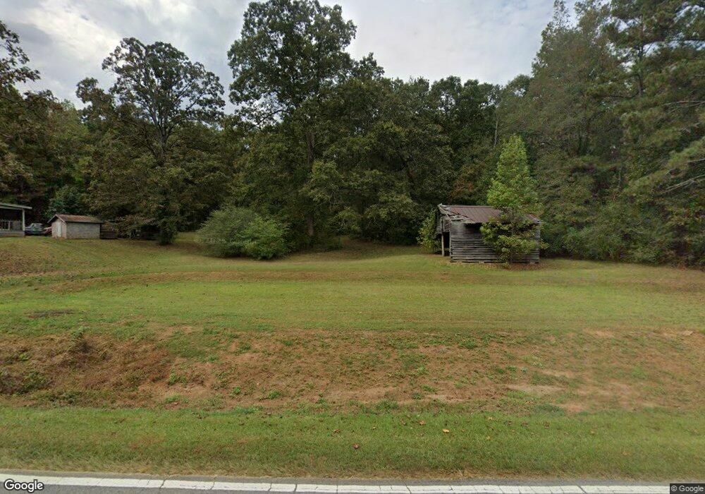
2750 Lovvorn Mill Rd Bowdon, GA 30108
Estimated Value: $447,000 - $932,994
4
Beds
3
Baths
3,735
Sq Ft
$185/Sq Ft
Est. Value
About This Home
This home is located at 2750 Lovvorn Mill Rd, Bowdon, GA 30108 and is currently estimated at $689,997, approximately $184 per square foot. 2750 Lovvorn Mill Rd is a home located in Carroll County with nearby schools including Bowdon Elementary School, Bowdon Middle School, and Bowdon High School.
Ownership History
Date
Name
Owned For
Owner Type
Purchase Details
Closed on
Feb 1, 2008
Sold by
Strickland Jane P
Bought by
Adams Brian Keith and Adams Amy Elizabeth
Current Estimated Value
Purchase Details
Closed on
May 7, 2003
Sold by
Strickland Jane P
Bought by
Strickland Jane P
Purchase Details
Closed on
Oct 1, 1996
Sold by
Patterson Robert M J
Bought by
Strickland Jane P
Purchase Details
Closed on
Oct 24, 1995
Sold by
Patterson
Bought by
Patterson Robert M J
Purchase Details
Closed on
Apr 25, 1984
Bought by
Patterson
Create a Home Valuation Report for This Property
The Home Valuation Report is an in-depth analysis detailing your home's value as well as a comparison with similar homes in the area
Home Values in the Area
Average Home Value in this Area
Purchase History
| Date | Buyer | Sale Price | Title Company |
|---|---|---|---|
| Adams Brian Keith | $71,650 | -- | |
| Strickland Jane P | -- | -- | |
| Strickland Jane P | -- | -- | |
| Patterson Robert M J | -- | -- | |
| Patterson | -- | -- |
Source: Public Records
Tax History Compared to Growth
Tax History
| Year | Tax Paid | Tax Assessment Tax Assessment Total Assessment is a certain percentage of the fair market value that is determined by local assessors to be the total taxable value of land and additions on the property. | Land | Improvement |
|---|---|---|---|---|
| 2024 | $6,349 | $382,264 | $41,722 | $340,542 |
| 2023 | $6,349 | $344,328 | $33,378 | $310,950 |
| 2022 | $5,409 | $271,822 | $22,252 | $249,570 |
| 2021 | $4,904 | $230,903 | $17,801 | $213,102 |
| 2020 | $4,496 | $206,172 | $16,183 | $189,989 |
| 2019 | $4,217 | $189,333 | $16,183 | $173,150 |
| 2018 | $3,824 | $165,611 | $16,183 | $149,428 |
| 2017 | $3,830 | $165,611 | $16,183 | $149,428 |
| 2016 | $3,827 | $165,611 | $16,183 | $149,428 |
| 2015 | $3,711 | $146,372 | $15,415 | $130,958 |
| 2014 | $3,722 | $146,372 | $15,415 | $130,958 |
Source: Public Records
Map
Nearby Homes
- 1615 Teague Rd
- 0 N Highway 100 Unit TRACT 2 10571032
- 0 N Highway 100 Unit TRACT 3 10571036
- 0 N Highway 100 Unit TRACT 4 10571038
- 786 Moon Rd
- 380 Grimmett Rd
- 709 Melear Rd
- 1509 High Point Rd
- 183 Madden Rd
- 339 Cavender Ln
- 369 Cavender Ln
- 0 County Road 689 Unit 21434008
- 0 County Road 689 Unit 10623882
- 90 Washington St
- 6058 Mount Zion Rd
- 6118 Mount Zion Rd
- 1852 Burwell Rd
- 473 West Ave
- 0 W Highway 166 Unit 10593828
- 2650 Lovvorn Mill Rd
- 6393 Smithfield Rd
- 6465 Smithfield Rd
- 000 Smithfield Rd
- 6430 Smithfield Rd
- 0 Smithfield Rd Unit 8394500
- 0 Smithfield Rd Unit 20020686
- 0 Smithfield Rd Unit 10361695
- 0 Smithfield Rd Unit 145914
- 0 Smithfield Rd Unit 20053820
- 0 Smithfield Rd Unit 10037018
- 0 Smithfield Rd Unit 8984285
- 0 Smithfield Rd Unit 9015153
- 0 Smithfield Rd Unit 8716377
- 0 Smithfield Rd Unit 8898811
- 0 Smithfield Rd Unit 8826673
- 0 Smithfield Rd Unit 8921303
- 0 Smithfield Rd Unit 6834940
- 0 Smithfield Rd Unit 8894000
- 0 Smithfield Rd Unit 6801263