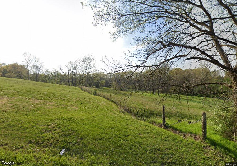
2750 Route O Columbia, MO 65203
Estimated Value: $364,000 - $561,133
4
Beds
2
Baths
2,158
Sq Ft
$204/Sq Ft
Est. Value
About This Home
This home is located at 2750 Route O, Columbia, MO 65203 and is currently estimated at $440,044, approximately $203 per square foot. 2750 Route O is a home located in Boone County with nearby schools including Midway Heights Elementary School, Ann Hawkins Gentry Middle School, and Rock Bridge High School.
Ownership History
Date
Name
Owned For
Owner Type
Purchase Details
Closed on
Mar 8, 2006
Sold by
Lamm Henry and Lamm Lee Raye
Bought by
Dorsey Andrew T and Dorsey Carolyn L
Current Estimated Value
Home Financials for this Owner
Home Financials are based on the most recent Mortgage that was taken out on this home.
Original Mortgage
$175,000
Outstanding Balance
$98,435
Interest Rate
6.09%
Mortgage Type
Future Advance Clause Open End Mortgage
Estimated Equity
$341,609
Create a Home Valuation Report for This Property
The Home Valuation Report is an in-depth analysis detailing your home's value as well as a comparison with similar homes in the area
Home Values in the Area
Average Home Value in this Area
Purchase History
| Date | Buyer | Sale Price | Title Company |
|---|---|---|---|
| Dorsey Andrew T | -- | None Available |
Source: Public Records
Mortgage History
| Date | Status | Borrower | Loan Amount |
|---|---|---|---|
| Open | Dorsey Andrew T | $175,000 |
Source: Public Records
Tax History Compared to Growth
Tax History
| Year | Tax Paid | Tax Assessment Tax Assessment Total Assessment is a certain percentage of the fair market value that is determined by local assessors to be the total taxable value of land and additions on the property. | Land | Improvement |
|---|---|---|---|---|
| 2025 | $2,153 | $32,376 | $6,659 | $25,717 |
| 2024 | $2,153 | $29,773 | $6,659 | $23,114 |
| 2023 | $2,135 | $29,773 | $6,659 | $23,114 |
| 2022 | $1,994 | $27,835 | $6,659 | $21,176 |
| 2021 | $1,997 | $27,835 | $6,659 | $21,176 |
| 2020 | $2,116 | $27,835 | $6,659 | $21,176 |
| 2019 | $2,116 | $27,835 | $6,659 | $21,176 |
| 2018 | $2,130 | $0 | $0 | $0 |
| 2017 | $2,105 | $27,835 | $6,659 | $21,176 |
| 2016 | $2,102 | $27,835 | $6,659 | $21,176 |
| 2015 | $1,941 | $27,835 | $6,659 | $21,176 |
| 2014 | -- | $28,007 | $6,831 | $21,176 |
Source: Public Records
Map
Nearby Homes
- 3360 Route O
- 4000 S Felicity Ln
- 7114 W River Oaks Rd
- 7105 W River Oaks Rd
- 841 S Route Uu
- 1201 S Johnmeyer Ln
- 7735 W Wehmeyer Rd
- 6031 Tamarack Dr
- 6051 Tamarack Dr
- 6035 W Swather Ct
- 6015 W Swather Ct
- 6041 Tamarack Dr
- 6001 W Tamarack
- 110 S State Highway Uu
- 0 W Gillespie Bridge Rd
- 14 S Blue Jay Way
- 8900 W Sontag Dr
- 2509 Longview Dr
- 1710 Swift Ct
- 5416 Briar Rose Ct
- 2620 Route O
- 2700 Route O
- 2591 Route O
- 2580 Route O
- 2480 Route O
- 3100 Route O
- 2595 Route O
- 2593 Route O
- 3360 State Highway O
- 8401 W Jakes Bluff Dr
- 8301 W Jakes Bluff Dr
- 8450 W Jakes Bluff Dr
- LOT 1 the Glades
- 3404 Route O
- 7850 W Jakes Bluff Dr
- 8860 W Route O
- 8400 W Jakes Bluff Dr
- 8300 W Highway Uu
- 8330 W Jakes Bluff Dr
- 3399 Route O
