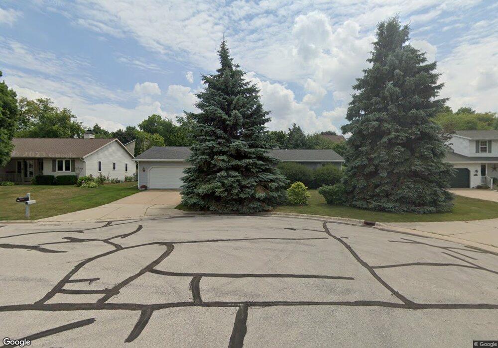
2750 Saint Anthony Dr Green Bay, WI 54311
Schmitt Park NeighborhoodEstimated Value: $308,000 - $330,000
3
Beds
2
Baths
1,355
Sq Ft
$235/Sq Ft
Est. Value
About This Home
This home is located at 2750 Saint Anthony Dr, Green Bay, WI 54311 and is currently estimated at $318,829, approximately $235 per square foot. 2750 Saint Anthony Dr is a home located in Brown County with nearby schools including Baird Elementary School, Preble High School, and St. Thomas More Catholic School.
Ownership History
Date
Name
Owned For
Owner Type
Purchase Details
Closed on
Mar 27, 2025
Sold by
Manderfield Robert J
Bought by
John E Fischer And Deborah S Fischer Tru
Current Estimated Value
Purchase Details
Closed on
Jan 20, 2011
Sold by
Fischer John E and Fischer Deborah S
Bought by
John E Fischer & Deborah S Fischer Trust
Create a Home Valuation Report for This Property
The Home Valuation Report is an in-depth analysis detailing your home's value as well as a comparison with similar homes in the area
Home Values in the Area
Average Home Value in this Area
Purchase History
| Date | Buyer | Sale Price | Title Company |
|---|---|---|---|
| John E Fischer And Deborah S Fischer Tru | $2,600 | Liberty Title & Abstract Inc | |
| Manderfield Robert J | -- | Liberty Title & Abstract Inc | |
| John E Fischer & Deborah S Fischer Trust | -- | None Available |
Source: Public Records
Tax History Compared to Growth
Tax History
| Year | Tax Paid | Tax Assessment Tax Assessment Total Assessment is a certain percentage of the fair market value that is determined by local assessors to be the total taxable value of land and additions on the property. | Land | Improvement |
|---|---|---|---|---|
| 2024 | $4,003 | $204,400 | $41,000 | $163,400 |
| 2023 | $3,878 | $204,400 | $41,000 | $163,400 |
| 2022 | $3,751 | $204,400 | $41,000 | $163,400 |
| 2021 | $3,362 | $138,300 | $24,500 | $113,800 |
| 2020 | $3,336 | $138,300 | $24,500 | $113,800 |
| 2019 | $3,259 | $138,300 | $24,500 | $113,800 |
| 2018 | $3,164 | $138,300 | $24,500 | $113,800 |
| 2017 | $3,083 | $138,300 | $24,500 | $113,800 |
| 2016 | $3,042 | $138,300 | $24,500 | $113,800 |
| 2015 | $3,016 | $138,300 | $24,500 | $113,800 |
| 2014 | $3,187 | $138,300 | $24,500 | $113,800 |
| 2013 | $3,187 | $138,300 | $24,500 | $113,800 |
Source: Public Records
Map
Nearby Homes
- 1000 Mount Hood Ct
- 1123 Saint Charles Dr
- 980 Queoff St
- 1019 Mt Mary Dr
- 2686 Humboldt Rd Unit 1
- 2686 Humboldt Rd Unit 12
- 2780 Humboldt Rd
- 2800 Humboldt Rd
- 1014 Laverne Dr
- 3032 Humboldt Rd
- 3038 Bay View Dr
- 2659 Sage Dr
- 175 Burgundy Ct
- 2932 Suzanne Ct
- 141 Thyme Place
- 910 Pine Ridge Dr
- 2503 Remington Rd
- 2352 Bay Beach Ct
- 3199 Humboldt Rd
- 2437 Deer Trail
- 2744 Saint Anthony Dr
- 2760 Saint Anthony Dr
- 2744 St Anthony
- 2620 Saint Ann Dr
- 2620 St Ann
- 2610 Saint Ann Dr
- 2740 Saint Anthony Dr
- 2766 Saint Anthony Dr
- 2640 Saint Ann Dr
- 2640 St Ann Dr
- 2564 Saint Ann Dr
- 2658 Saint Ann Dr
- 2772 Saint Anthony Dr
- 2556 St Ann Dr
- 2556 Saint Ann Dr
- 2734 University Ave
- 2615 Saint Ann Dr
- 2780 St Anthony
- 2780 Saint Anthony Dr
- 2563 St Ann Dr