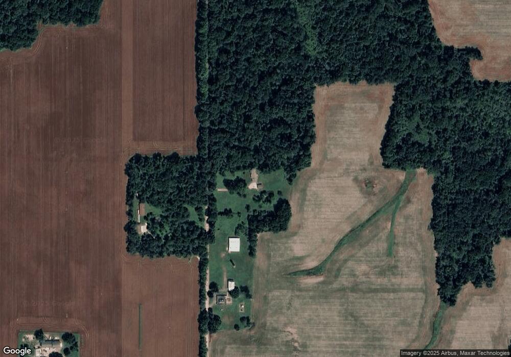
2751 Balcom Rd Reading, MI 49274
Estimated Value: $194,000 - $294,000
3
Beds
2
Baths
1,152
Sq Ft
$214/Sq Ft
Est. Value
About This Home
This home is located at 2751 Balcom Rd, Reading, MI 49274 and is currently estimated at $246,190, approximately $213 per square foot. 2751 Balcom Rd is a home located in Hillsdale County with nearby schools including Reynolds Elementary School and Reading High School.
Ownership History
Date
Name
Owned For
Owner Type
Purchase Details
Closed on
Dec 19, 2000
Sold by
Bumpus Michael J and Bumpus Lori A
Bought by
Sims Gary D and Sims Karen K
Current Estimated Value
Purchase Details
Closed on
May 22, 1997
Sold by
Bailey Craig and Bailey Cecy
Bought by
Bumpus Michael and Bumpus Lori
Purchase Details
Closed on
Jun 1, 1995
Sold by
O'Neill Kip Patrick and Patricia Ann
Bought by
Bailey Craig and Harrison Cecy
Purchase Details
Closed on
Feb 12, 1993
Sold by
Laser Doug D and Laser Jeri L
Bought by
O'Neill Kip Patrick and Patricia Ann
Purchase Details
Closed on
Dec 29, 1988
Sold by
Selph Charles P and Selph Cheryl
Bought by
Laser Doug D and Laser Jeri L
Create a Home Valuation Report for This Property
The Home Valuation Report is an in-depth analysis detailing your home's value as well as a comparison with similar homes in the area
Purchase History
| Date | Buyer | Sale Price | Title Company |
|---|---|---|---|
| Sims Gary D | $114,000 | -- | |
| Bumpus Michael | $87,000 | -- | |
| Bailey Craig | $72,000 | -- | |
| O'Neill Kip Patrick | $60,000 | -- | |
| Laser Doug D | $37,500 | -- |
Source: Public Records
Tax History
| Year | Tax Paid | Tax Assessment Tax Assessment Total Assessment is a certain percentage of the fair market value that is determined by local assessors to be the total taxable value of land and additions on the property. | Land | Improvement |
|---|---|---|---|---|
| 2025 | $716 | $113,200 | $0 | $0 |
| 2024 | $7 | $102,100 | $0 | $0 |
| 2023 | $665 | $96,600 | $0 | $0 |
| 2022 | $1,491 | $82,700 | $0 | $0 |
| 2021 | $1,450 | $73,800 | $0 | $0 |
| 2020 | $1,439 | $73,600 | $0 | $0 |
| 2019 | $1,384 | $62,000 | $0 | $0 |
| 2018 | $1,319 | $53,800 | $0 | $0 |
| 2017 | $1,274 | $55,900 | $0 | $0 |
| 2016 | $1,263 | $58,600 | $0 | $0 |
| 2015 | $560 | $58,600 | $0 | $0 |
| 2013 | $543 | $49,520 | $0 | $0 |
| 2012 | $532 | $48,590 | $0 | $0 |
Source: Public Records
Map
Nearby Homes
- 8875 Kellogg Dr
- 8941 Kellogg Dr
- 9059 Kellogg Dr
- 9055 Kellogg Dr
- 4380 Abbott Rd
- 9222 Beech Dr
- 2408 Spruce Dr
- 3870 Rus Dic Dr
- 1725 Hemlock Rd
- 2201 S Sand Lake Rd
- 9180 Arkansaw Rd
- 5211 Long Lake Rd
- 4111 Blair Rd
- 5100 Long Lake Rd
- 6331 Bacon Rd
- 5339 Lake Dr
- 1750 Pierce Rd
- 226 Strong St
- 5482 Circle Dr
- 108 Lynn St
- 2891 Balcom Rd
- 2251 Balcom Rd
- 7720 Bankers Rd
- 7491 Bankers Rd
- 2460 Balcom Rd
- 7811 Bankers Rd
- 7060 Bankers Rd
- 7111 Bankers Rd
- 2400 S Edon Rd
- 7940 Bankers Rd
- 3000 S Edon Rd
- 2511 S Edon Rd
- 7821 Shaffer Rd
- 7840 Shaffer Rd
- 7779 Shaffer Rd
- 7820 Shaffer Rd
- 7846 Shaffer Rd
- 8096 Sunset Dr
- 7765 Shaffer Rd
- 7800 Shaffer Rd
Your Personal Tour Guide
Ask me questions while you tour the home.