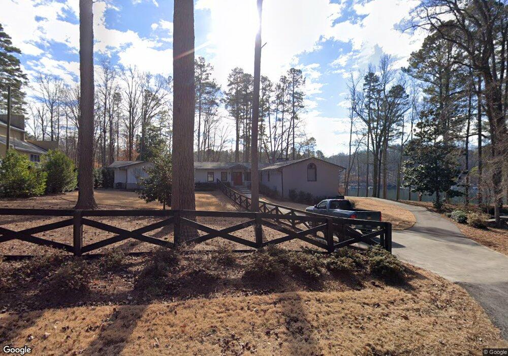
2753 Merritt Dr Buford, GA 30518
Estimated Value: $777,000 - $1,088,914
3
Beds
3
Baths
3,662
Sq Ft
$245/Sq Ft
Est. Value
About This Home
This home is located at 2753 Merritt Dr, Buford, GA 30518 and is currently estimated at $898,979, approximately $245 per square foot. 2753 Merritt Dr is a home located in Hall County with nearby schools including Friendship Elementary School, C.W. Davis Middle School, and Flowery Branch High School.
Ownership History
Date
Name
Owned For
Owner Type
Purchase Details
Closed on
Sep 14, 2021
Sold by
Cantrell H Teresa
Bought by
Hinton Joanne and Cantrell Joseph Michael
Current Estimated Value
Purchase Details
Closed on
Dec 7, 2018
Sold by
Hinton Joanne J
Bought by
Cantrell Teresa Hinton and Cantrell Joseph Michael
Purchase Details
Closed on
May 3, 2017
Sold by
Hinton Leonard O
Bought by
Hinton Joanne J
Create a Home Valuation Report for This Property
The Home Valuation Report is an in-depth analysis detailing your home's value as well as a comparison with similar homes in the area
Home Values in the Area
Average Home Value in this Area
Purchase History
| Date | Buyer | Sale Price | Title Company |
|---|---|---|---|
| Hinton Joanne | -- | -- | |
| Cantrell Teresa Hinton | $400,000 | -- | |
| Hinton Joanne J | -- | -- |
Source: Public Records
Tax History Compared to Growth
Tax History
| Year | Tax Paid | Tax Assessment Tax Assessment Total Assessment is a certain percentage of the fair market value that is determined by local assessors to be the total taxable value of land and additions on the property. | Land | Improvement |
|---|---|---|---|---|
| 2024 | $3,257 | $398,204 | $189,040 | $209,164 |
| 2023 | $3,053 | $386,564 | $189,040 | $197,524 |
| 2022 | $3,251 | $365,724 | $189,040 | $176,684 |
| 2021 | $9,746 | $370,928 | $189,040 | $181,888 |
| 2020 | $8,605 | $318,008 | $141,160 | $176,848 |
| 2019 | $6,296 | $228,400 | $141,160 | $87,240 |
| 2018 | $2,185 | $214,040 | $129,480 | $84,560 |
| 2017 | $2,032 | $211,320 | $129,480 | $81,840 |
| 2016 | $1,826 | $211,320 | $129,480 | $81,840 |
| 2015 | $1,852 | $211,320 | $129,480 | $81,840 |
| 2014 | $1,852 | $211,320 | $129,480 | $81,840 |
Source: Public Records
Map
Nearby Homes
- 5574 Lanier Islands Pkwy
- 5885 Bay View Dr
- 6558 Lanier Islands Pkwy
- 5775 Lakeshore Dr
- 5832 Bay View Dr
- 5839 Lakeshore Dr
- 6030 Chimney Springs Rd
- 6119 Bethany View Trail
- 6127 Bethany View Trail
- 6205 Bridgewood Dr
- 6226 Bridgewood Dr
- 6225 Bridgewood Dr
- 5697 Frontier Walk Ln
- 5989 Lanier Islands Pkwy
- 3617 Shoreland Dr
- 6708 Bass Cir
- 2763 Merritt Dr
- 2773 Merritt Dr
- 2783 Merritt Dr
- 2754 Merritt Dr
- 2780 Merritt Dr
- 2784 Merritt Dr
- 2774 Merritts
- 2774 Merritt Dr
- 2793 Merritt Dr
- 2777 Merritt Dr
- 2764 Merritt Dr
- 2803 Merritt Dr
- 2744 Merritt Dr
- 2804 Merritt Dr
- 2809 Merritt Dr
- 2833 Merritt Dr
- 0 Merritt Dr Unit 8798246
- 0 Merritt Dr Unit 8789506
- 0 Merritt Dr Unit 8724929
- 0 Merritt Dr Unit 8501619