2754 Wyndgate Ct Unit 20 Westlake, OH 44145
Estimated Value: $324,130 - $379,000
2
Beds
2
Baths
1,437
Sq Ft
$240/Sq Ft
Est. Value
About This Home
This home is located at 2754 Wyndgate Ct Unit 20, Westlake, OH 44145 and is currently estimated at $345,533, approximately $240 per square foot. 2754 Wyndgate Ct Unit 20 is a home located in Cuyahoga County with nearby schools including Dover Intermediate School, Lee Burneson Middle School, and Westlake High School.
Ownership History
Date
Name
Owned For
Owner Type
Purchase Details
Closed on
Sep 16, 2013
Sold by
Frase Barbara I
Bought by
Frase Barbara I and Barbara I Frase Trust
Current Estimated Value
Purchase Details
Closed on
Aug 26, 2009
Sold by
Kmiec Rung M Nancy
Bought by
Frase Barbara I
Home Financials for this Owner
Home Financials are based on the most recent Mortgage that was taken out on this home.
Original Mortgage
$100,000
Outstanding Balance
$65,698
Interest Rate
5.28%
Mortgage Type
New Conventional
Estimated Equity
$279,835
Purchase Details
Closed on
Oct 2, 1997
Sold by
Kopf Const Corp
Bought by
Rung Edmund J and Rung Nancy Kmiec
Home Financials for this Owner
Home Financials are based on the most recent Mortgage that was taken out on this home.
Original Mortgage
$161,900
Interest Rate
7.54%
Mortgage Type
New Conventional
Create a Home Valuation Report for This Property
The Home Valuation Report is an in-depth analysis detailing your home's value as well as a comparison with similar homes in the area
Home Values in the Area
Average Home Value in this Area
Purchase History
| Date | Buyer | Sale Price | Title Company |
|---|---|---|---|
| Frase Barbara I | -- | None Available | |
| Frase Barbara I | $210,000 | Attorney | |
| Rung Edmund J | $215,900 | -- |
Source: Public Records
Mortgage History
| Date | Status | Borrower | Loan Amount |
|---|---|---|---|
| Open | Frase Barbara I | $100,000 | |
| Previous Owner | Rung Edmund J | $161,900 |
Source: Public Records
Tax History Compared to Growth
Tax History
| Year | Tax Paid | Tax Assessment Tax Assessment Total Assessment is a certain percentage of the fair market value that is determined by local assessors to be the total taxable value of land and additions on the property. | Land | Improvement |
|---|---|---|---|---|
| 2024 | $4,563 | $106,120 | $10,605 | $95,515 |
| 2023 | $3,933 | $80,150 | $8,400 | $71,750 |
| 2022 | $3,893 | $80,150 | $8,400 | $71,750 |
| 2021 | $3,898 | $80,150 | $8,400 | $71,750 |
| 2020 | $3,556 | $68,500 | $7,180 | $61,320 |
| 2019 | $3,448 | $195,700 | $20,500 | $175,200 |
| 2018 | $3,394 | $68,500 | $7,180 | $61,320 |
| 2017 | $3,361 | $63,290 | $7,180 | $56,110 |
| 2016 | $3,343 | $63,290 | $7,180 | $56,110 |
| 2015 | $3,528 | $63,290 | $7,180 | $56,110 |
| 2014 | $3,528 | $65,250 | $7,390 | $57,860 |
Source: Public Records
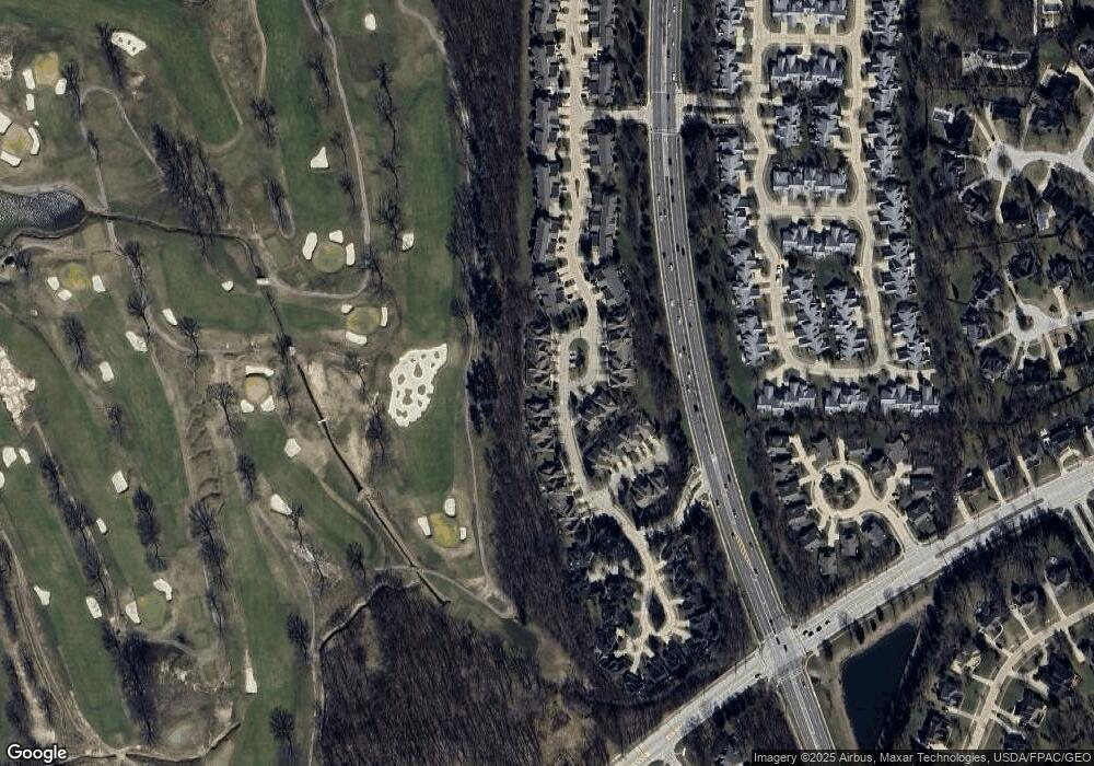
Map
Nearby Homes
- 29579 Devonshire Oval
- 29772 Hilliard Oak Ln
- 3115 Bradley Rd
- 28744 Woodmill Dr
- 31072 Riviera Ln
- 31035 Wilderness Trail
- 2706 Forest Lake Dr
- 2066 Bradley Rd
- 2962 Forest Lake Dr
- 31587 Turtle Cr
- 28360 Center Ridge Rd Unit 226
- 1900 Sperrys Forge Trail
- 28340 Center Ridge Rd Unit 123
- 2847 Rocky Ridge Dr
- 2891 Rocky Ridge Dr Unit V/L 173
- 2705 Rocky Ridge Dr
- 28080 Center Ridge Rd
- V/L Rocky Ridge Dr
- 2678 Rocky Ridge Dr
- 2670 Rocky Ridge Dr Unit 156
- 2746 Wyndgate Ct Unit 22
- 2738 Wyndgate Ct Unit 24
- 2742 Wyndgate Ct Unit 23
- 2750 Wyndgate Ct Unit 21
- 2730 Wyndgate Ct Unit 2370
- 2758 Wyndgate Ct Unit 10
- 2726 Wyndgate Ct Unit 2726
- 2762 Wyndgate Ct
- 2766 Wyndgate Ct
- 2770 Wyndgate Ct
- 2762 Wyndgate Ct Unit 9
- 2722 Wyndgate Ct Unit 2722
- 2718 Wyndgate Ct Unit 2718
- 2755 Wyndgate Ct Unit 25
- 2743 Wyndgate Ct Unit 28
- 2739 Wyndgate Ct Unit 29
- 2735 Wyndgate Ct Unit 30
- 2747 Wyndgate Ct Unit 27
- 2751 Wyndgate Ct
- 2751 Wyndgate Ct Unit 26