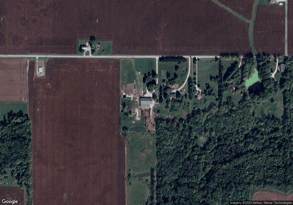
2755 W 950 N Thorntown, IN 46071
Estimated Value: $379,000 - $555,000
3
Beds
2
Baths
2,698
Sq Ft
$167/Sq Ft
Est. Value
About This Home
This home is located at 2755 W 950 N, Thorntown, IN 46071 and is currently estimated at $450,061, approximately $166 per square foot. 2755 W 950 N is a home located in Boone County with nearby schools including Western Boone Junior/Senior High School.
Ownership History
Date
Name
Owned For
Owner Type
Purchase Details
Closed on
Jan 17, 2014
Sold by
Carpenter Gerald L and Carpenter Sylvia D
Bought by
Cory Jacob
Current Estimated Value
Home Financials for this Owner
Home Financials are based on the most recent Mortgage that was taken out on this home.
Original Mortgage
$130,400
Outstanding Balance
$98,267
Interest Rate
4.42%
Mortgage Type
Purchase Money Mortgage
Estimated Equity
$351,794
Create a Home Valuation Report for This Property
The Home Valuation Report is an in-depth analysis detailing your home's value as well as a comparison with similar homes in the area
Home Values in the Area
Average Home Value in this Area
Purchase History
| Date | Buyer | Sale Price | Title Company |
|---|---|---|---|
| Cory Jacob | -- | Moore Title |
Source: Public Records
Mortgage History
| Date | Status | Borrower | Loan Amount |
|---|---|---|---|
| Open | Cory Jacob | $130,400 |
Source: Public Records
Tax History Compared to Growth
Tax History
| Year | Tax Paid | Tax Assessment Tax Assessment Total Assessment is a certain percentage of the fair market value that is determined by local assessors to be the total taxable value of land and additions on the property. | Land | Improvement |
|---|---|---|---|---|
| 2025 | $1,980 | $324,000 | $25,000 | $299,000 |
| 2024 | $1,980 | $278,200 | $25,300 | $252,900 |
| 2023 | $1,965 | $259,800 | $24,700 | $235,100 |
| 2022 | $2,754 | $310,500 | $24,100 | $286,400 |
| 2021 | $2,358 | $257,600 | $23,900 | $233,700 |
| 2020 | $2,317 | $253,400 | $23,800 | $229,600 |
| 2019 | $2,122 | $240,000 | $24,200 | $215,800 |
| 2018 | $1,024 | $154,700 | $24,300 | $130,400 |
| 2017 | $994 | $154,300 | $24,600 | $129,700 |
| 2016 | $875 | $144,500 | $24,800 | $119,700 |
| 2014 | $1,699 | $147,700 | $24,900 | $122,800 |
| 2013 | $991 | $145,600 | $24,800 | $120,800 |
Source: Public Records
Map
Nearby Homes
- 7147 S Co Road 130 W
- 1036 W Blubaugh Ave
- 7770 N 50 W
- 7855 N 50 W
- 6519 N 350 W
- 7018 S County Road 430 W
- 5000 N 275 W
- 7134 N Caldwell Rd
- 1304 W 500 N
- 1502 W 525 N
- 5779 W State Road 47
- 6433 W State Road 47
- 3502 W 450 N
- 4535 N Us Hwy 52
- 6691 Indiana 47
- 328 N Front St
- 117 N Market St
- 3901 N State Road 52
- 223 S West St
- 660 W 375 N
- 2709 W 950 N
- 2647 W 950 N
- 2591 W 950 N
- 2882 W County Road 750 S
- 2523 W 950 N
- 9379 N 325 W
- 2457 W 950 N
- 7404 S County Road 50 W
- 2381 W 950 N
- 682 W County Road 730 S
- 978 W County Road 730 S
- 7457 S County Road 130 W
- 2255 W 950 N
- 2501 W 950 N
- 160 W County Road 750 S
- 3054 W Blubaugh Ave
- 7163 S County Road 50 W
- 1127 W Blubaugh Ave
- 0 W Blubaugh Ave Unit MBR2301748
- 0 W Blubaugh Ave Unit MBR2301739