2755 Watts Cemetery Rd Leslie, AR 72645
Estimated Value: $67,000 - $144,000
--
Bed
--
Bath
500
Sq Ft
$195/Sq Ft
Est. Value
About This Home
This home is located at 2755 Watts Cemetery Rd, Leslie, AR 72645 and is currently estimated at $97,303, approximately $194 per square foot. 2755 Watts Cemetery Rd is a home with nearby schools including Marshall Elementary School, Leslie Elementary School, and Marshall High School.
Ownership History
Date
Name
Owned For
Owner Type
Purchase Details
Closed on
Jun 7, 2017
Sold by
Smith Chester A and Smith Chloe S
Bought by
Mamuscia Joseph and Sanchez Mamuscia Judith Rivera
Current Estimated Value
Home Financials for this Owner
Home Financials are based on the most recent Mortgage that was taken out on this home.
Original Mortgage
$1,023
Outstanding Balance
$849
Interest Rate
4.03%
Mortgage Type
New Conventional
Estimated Equity
$96,454
Purchase Details
Closed on
Nov 5, 1996
Bought by
Massey John T and Massey Frances C
Purchase Details
Closed on
Jul 7, 1995
Bought by
Johns Paul Ray
Purchase Details
Closed on
Feb 1, 1995
Bought by
Kelsick
Purchase Details
Closed on
Aug 1, 1994
Bought by
Adams
Create a Home Valuation Report for This Property
The Home Valuation Report is an in-depth analysis detailing your home's value as well as a comparison with similar homes in the area
Home Values in the Area
Average Home Value in this Area
Purchase History
| Date | Buyer | Sale Price | Title Company |
|---|---|---|---|
| Mamuscia Joseph | $38,000 | None Available | |
| Massey John T | $7,500 | -- | |
| Johns Paul Ray | $2,000 | -- | |
| Kelsick | $13,500 | -- | |
| Adams | -- | -- |
Source: Public Records
Mortgage History
| Date | Status | Borrower | Loan Amount |
|---|---|---|---|
| Open | Mamuscia Joseph | $1,023 |
Source: Public Records
Tax History Compared to Growth
Tax History
| Year | Tax Paid | Tax Assessment Tax Assessment Total Assessment is a certain percentage of the fair market value that is determined by local assessors to be the total taxable value of land and additions on the property. | Land | Improvement |
|---|---|---|---|---|
| 2025 | $23 | $3,160 | $1,200 | $1,960 |
| 2024 | $23 | $3,160 | $1,200 | $1,960 |
| 2023 | $124 | $3,160 | $1,200 | $1,960 |
| 2022 | $110 | $3,160 | $1,200 | $1,960 |
| 2021 | $100 | $2,010 | $940 | $1,070 |
| 2020 | $99 | $2,010 | $940 | $1,070 |
| 2019 | $117 | $2,010 | $940 | $1,070 |
| 2018 | $96 | $2,010 | $940 | $1,070 |
| 2017 | $96 | $2,050 | $980 | $1,070 |
| 2016 | $95 | $2,050 | $980 | $1,070 |
| 2014 | $87 | $2,050 | $980 | $1,070 |
Source: Public Records
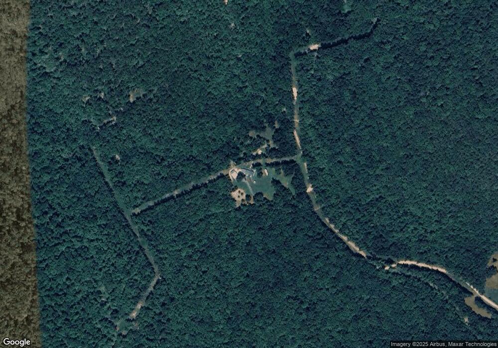
Map
Nearby Homes
- 935 Standing Alone Rd
- 813 Main St
- 159 Deer Run Rd
- 878 Harry Brown Rd
- 103 Lime St
- 610 High St
- 305 Deer Run Rd
- 00 Brooklyn Ln
- 405 Oak St
- 414 Main St
- 211 Oak St
- 319 Elm St
- 610 Cypress St
- 240 Hipp Ln
- 418 Willson LN Wilson Ln
- 3894 Begley Creek Rd
- 0 Wilson Ln Unit 23002530
- 00 (6) Tracewood Dr
- 0 Liberty Rd Unit 1296842
- 1041 Campbell Rd