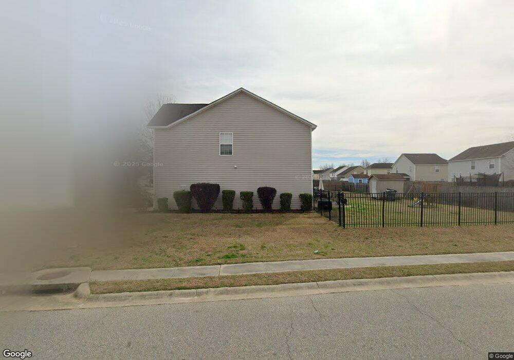
2756 Old Field Rd Sumter, SC 29150
Estimated Value: $234,000 - $251,000
4
Beds
4
Baths
2,208
Sq Ft
$110/Sq Ft
Est. Value
About This Home
This home is located at 2756 Old Field Rd, Sumter, SC 29150 and is currently estimated at $242,514, approximately $109 per square foot. 2756 Old Field Rd is a home located in Sumter County with nearby schools including Oakland Primary School, High Hills Elementary School, and Shaw Heights Elementary School.
Ownership History
Date
Name
Owned For
Owner Type
Purchase Details
Closed on
Sep 15, 2020
Sold by
Anderson Kevie L and Anderson Phyllis
Bought by
Peoples Sandy
Current Estimated Value
Home Financials for this Owner
Home Financials are based on the most recent Mortgage that was taken out on this home.
Original Mortgage
$175,266
Outstanding Balance
$154,891
Interest Rate
2.8%
Mortgage Type
FHA
Estimated Equity
$87,623
Purchase Details
Closed on
Jul 13, 2007
Sold by
Firstar Homes Inc
Bought by
Anderson Kevie L and Anderson Phyllis
Home Financials for this Owner
Home Financials are based on the most recent Mortgage that was taken out on this home.
Original Mortgage
$150,747
Interest Rate
6.71%
Mortgage Type
VA
Create a Home Valuation Report for This Property
The Home Valuation Report is an in-depth analysis detailing your home's value as well as a comparison with similar homes in the area
Purchase History
| Date | Buyer | Sale Price | Title Company |
|---|---|---|---|
| Peoples Sandy | $178,500 | None Available | |
| Peoples Sandy | $178,500 | Curtis & Croft Llc | |
| Anderson Kevie L | $147,575 | None Available |
Source: Public Records
Mortgage History
| Date | Status | Borrower | Loan Amount |
|---|---|---|---|
| Open | Peoples Sandy | $175,266 | |
| Closed | Peoples Sandy | $175,266 | |
| Previous Owner | Anderson Kevie L | $150,747 |
Source: Public Records
Tax History
| Year | Tax Paid | Tax Assessment Tax Assessment Total Assessment is a certain percentage of the fair market value that is determined by local assessors to be the total taxable value of land and additions on the property. | Land | Improvement |
|---|---|---|---|---|
| 2025 | $1,243 | $6,680 | $800 | $5,880 |
| 2024 | $1,243 | $6,680 | $800 | $5,880 |
| 2023 | $1,243 | $6,670 | $800 | $5,870 |
| 2022 | $1,237 | $6,670 | $800 | $5,870 |
| 2021 | $1,239 | $6,670 | $800 | $5,870 |
| 2020 | $1,239 | $6,280 | $1,000 | $5,280 |
| 2019 | $1,229 | $6,280 | $1,000 | $5,280 |
| 2018 | $1,184 | $6,280 | $1,000 | $5,280 |
| 2017 | $1,208 | $6,280 | $1,000 | $5,280 |
| 2016 | $1,226 | $6,280 | $1,000 | $5,280 |
| 2015 | $1,211 | $6,000 | $760 | $5,240 |
| 2014 | $1,211 | $5,980 | $760 | $5,220 |
| 2013 | -- | $5,980 | $760 | $5,220 |
Source: Public Records
Map
Nearby Homes
- 1766 Polaris Dr
- 1808 Polaris Dr
- 1825 Polaris Dr
- 1749 Polaris Dr
- 1752 Musket Trail
- 1833 Ringneck Ct
- 2895 Old Field Rd
- 1769 Canopy Dr
- 1763 Canopy Dr
- 1757 Canopy Dr
- 1751 Canopy Dr
- 1772 Canopy Dr
- 1766 Canopy Dr
- 1760 Canopy Dr
- 1754 Canopy Dr
- 1748 Canopy Dr
- 1853 Payne Dr
- 1862 Gabriel Ln
- 1866 Gabriel Ln
- Trenton Plan at Canopy of Oaks - Canopy Of Oaks
- 1790 Polaris Dr
- 1790 Polaris Dr
- 1784 Polaris Dr
- 1778 Polaris Dr
- TBD Old Field Rd Lot 404
- 1797 Mossberg Dr
- 1789 Mossberg Dr
- 1800 Polaris Dr
- 1797 Mossberg Dr
- 1801 Mossberg Dr
- 1772 Polaris Dr
- 1789 Mossberg Dr
- 1791 Polaris Dr
- 1785 Polaris Dr
- 1781 Mossberg Dr
- 1801 Polaris Dr
- 1779 Polaris Dr
- 1781 Mossberg Dr
- 1809 Mossberg Dr
- 1773 Polaris Dr