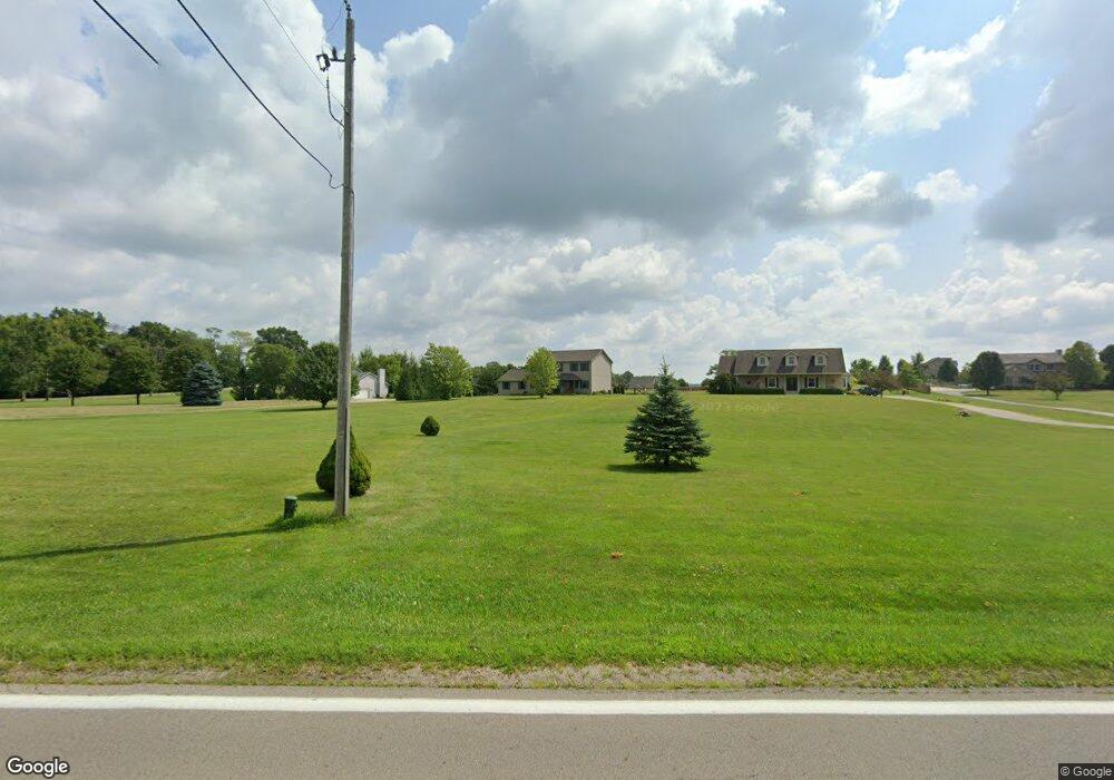
2756 State Route 203 Radnor, OH 43066
Estimated Value: $524,000 - $640,000
3
Beds
3
Baths
2,272
Sq Ft
$245/Sq Ft
Est. Value
About This Home
This home is located at 2756 State Route 203, Radnor, OH 43066 and is currently estimated at $555,926, approximately $244 per square foot. 2756 State Route 203 is a home located in Delaware County with nearby schools including Buckeye Valley High School.
Ownership History
Date
Name
Owned For
Owner Type
Purchase Details
Closed on
Jul 31, 2002
Sold by
Vista Land Co Llc
Bought by
Sibbalds Bryan D and Sibbalds Shawna D
Current Estimated Value
Home Financials for this Owner
Home Financials are based on the most recent Mortgage that was taken out on this home.
Original Mortgage
$24,750
Interest Rate
7.5%
Mortgage Type
New Conventional
Create a Home Valuation Report for This Property
The Home Valuation Report is an in-depth analysis detailing your home's value as well as a comparison with similar homes in the area
Home Values in the Area
Average Home Value in this Area
Purchase History
| Date | Buyer | Sale Price | Title Company |
|---|---|---|---|
| Sibbalds Bryan D | $33,000 | -- |
Source: Public Records
Mortgage History
| Date | Status | Borrower | Loan Amount |
|---|---|---|---|
| Closed | Sibbalds Bryan D | $24,750 |
Source: Public Records
Tax History Compared to Growth
Tax History
| Year | Tax Paid | Tax Assessment Tax Assessment Total Assessment is a certain percentage of the fair market value that is determined by local assessors to be the total taxable value of land and additions on the property. | Land | Improvement |
|---|---|---|---|---|
| 2024 | $4,917 | $133,600 | $24,220 | $109,380 |
| 2023 | $4,915 | $133,600 | $24,220 | $109,380 |
| 2022 | $4,371 | $105,390 | $16,170 | $89,220 |
| 2021 | $4,373 | $105,390 | $16,170 | $89,220 |
| 2020 | $4,392 | $105,390 | $16,170 | $89,220 |
| 2019 | $3,738 | $88,410 | $14,070 | $74,340 |
| 2018 | $3,793 | $88,410 | $14,070 | $74,340 |
| 2017 | $3,347 | $81,450 | $12,530 | $68,920 |
| 2016 | $3,121 | $81,450 | $12,530 | $68,920 |
| 2015 | $3,290 | $81,450 | $12,530 | $68,920 |
| 2014 | $3,091 | $81,450 | $12,530 | $68,920 |
| 2013 | $3,146 | $78,790 | $12,530 | $66,260 |
Source: Public Records
Map
Nearby Homes
- 2390 Penry Rd
- 3414 State Route 203
- 3935 N Section Line Rd
- 3284 Radnor Rd
- 2132 Ohio 257
- 1859 State Route 257 N
- 2217 Radnor Rd
- 2310 Troy Rd
- 210 Glemsbury Dr
- 1258 Hills Miller Rd
- 2266 Dates St
- 2200 Dates St
- 2238 Farmland Dr
- 2143 Farmland Dr
- 4093 State Route 257
- 315 Timbersmith Dr
- 288 Penry Rd
- 518 Lamplight Dr
- 63 Lantern Chase Dr
- 830 Heritage Blvd
- 2716 State Route 203
- 2770 State Route 203
- 2704 State Route 203
- 2818 State Route 203
- 3800 Gallant Rd
- 3850 Gallant Rd
- 2697 State Route 203
- 3782 Gallant Rd
- 3768 Gallant Rd
- 2733 State Route 203
- 2627 State Route 203
- 3718 Gallant Rd
- 3700 Gallant Rd
- 3690 Gallant Rd
- 3735 Gallant Rd
- 2769 State Route 203
- 2563 State Route 203
- 3640 Gallant Rd
- 3616 Gallant Rd
- 2503 State Route 203