2756 State Route 725 Spring Valley, OH 45370
Estimated Value: $292,000 - $481,000
3
Beds
2
Baths
1,736
Sq Ft
$218/Sq Ft
Est. Value
About This Home
This home is located at 2756 State Route 725, Spring Valley, OH 45370 and is currently estimated at $378,556, approximately $218 per square foot. 2756 State Route 725 is a home located in Greene County with nearby schools including Bell Creek Intermediate School, Stephen Bell Elementary School, and Bellbrook Middle School.
Ownership History
Date
Name
Owned For
Owner Type
Purchase Details
Closed on
Jul 13, 2012
Sold by
Hilfgeford Michael J and Hilfgeford Bridget C
Bought by
Byrd Willian F
Current Estimated Value
Purchase Details
Closed on
Sep 16, 2004
Sold by
Martin David W and Martin Cynthia G
Bought by
Hilgeford Michael J and Seall Bridget C
Home Financials for this Owner
Home Financials are based on the most recent Mortgage that was taken out on this home.
Original Mortgage
$172,550
Interest Rate
5.89%
Mortgage Type
FHA
Purchase Details
Closed on
Jun 19, 1998
Sold by
Byrd William F
Bought by
Martin David W and Martin Cynthia G
Create a Home Valuation Report for This Property
The Home Valuation Report is an in-depth analysis detailing your home's value as well as a comparison with similar homes in the area
Purchase History
| Date | Buyer | Sale Price | Title Company |
|---|---|---|---|
| Byrd Willian F | $12,300 | None Available | |
| Byrd William F | $143,800 | None Available | |
| Hilgeford Michael J | $175,000 | -- | |
| Martin David W | $112,500 | -- |
Source: Public Records
Mortgage History
| Date | Status | Borrower | Loan Amount |
|---|---|---|---|
| Previous Owner | Hilgeford Michael J | $172,550 |
Source: Public Records
Tax History
| Year | Tax Paid | Tax Assessment Tax Assessment Total Assessment is a certain percentage of the fair market value that is determined by local assessors to be the total taxable value of land and additions on the property. | Land | Improvement |
|---|---|---|---|---|
| 2024 | $4,945 | $98,110 | $26,050 | $72,060 |
| 2023 | $4,877 | $98,110 | $26,050 | $72,060 |
| 2022 | $4,555 | $77,360 | $23,680 | $53,680 |
| 2021 | $4,606 | $77,360 | $23,680 | $53,680 |
| 2020 | $3,806 | $77,360 | $23,680 | $53,680 |
| 2019 | $3,806 | $64,490 | $23,680 | $40,810 |
| 2018 | $3,813 | $64,490 | $23,680 | $40,810 |
| 2017 | $3,669 | $64,490 | $23,680 | $40,810 |
| 2016 | $3,670 | $60,780 | $23,680 | $37,100 |
| 2015 | $3,611 | $60,780 | $23,680 | $37,100 |
| 2014 | $1,666 | $60,780 | $23,680 | $37,100 |
Source: Public Records
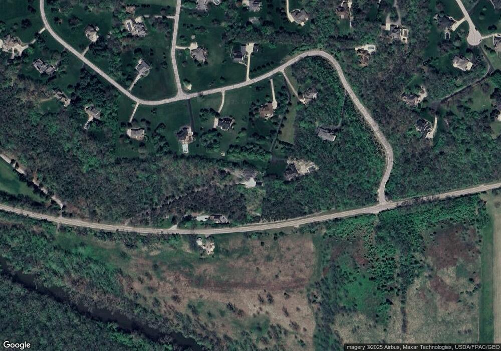
Map
Nearby Homes
- 2644 Center Creek Cir
- 2471 Lower Bellbrook Rd
- 1753 Cedar Ridge Dr
- 0 Penewit Rd
- Lot 1 - 3708 Penewit Rd
- 10 Acres Penewit Rd
- 1667 Ardennes Oak Dr
- 45 N East St Unit 45
- 244 Washington Mill Rd
- 2336 Washington Mill Rd
- 196 Mound St
- 3611 Ridgeway Rd
- 2763 Ferry Rd
- 3625 Marwood Dr
- 3656 Persimmon Ridge Place
- 3604 Cypress Pointe Dr
- 3604 Cypress Pointe Dr
- 1399 Heritage Trace Ct
- 3608 Cypress Pointe Dr
- 3605 Cypress Pointe Dr
- 2952 River Edge Cir
- 2944 River Edge Cir
- 2772 State Route 725
- 2948 River Edge Cir
- 2940 River Edge Cir
- 2968 River Edge Cir
- 2956 River Edge Cir
- 2951 River Edge Cir
- 2936 River Edge Cir
- 2330 Little Miami Dr
- 2937 River Edge Cir
- 2959 River Edge Cir
- 2930 River Edge Cir
- 2773 River Bluff Dr
- 2749 River Bluff Dr
- 2641 River Bluff Dr
- 2300 Little Miami Dr
- 2639 River Bluff Dr
- 2315 Little Miami Dr
- 2725 River Bluff Dr
Your Personal Tour Guide
Ask me questions while you tour the home.