Estimated Value: $96,177 - $150,000
4
Beds
3
Baths
1,352
Sq Ft
$87/Sq Ft
Est. Value
About This Home
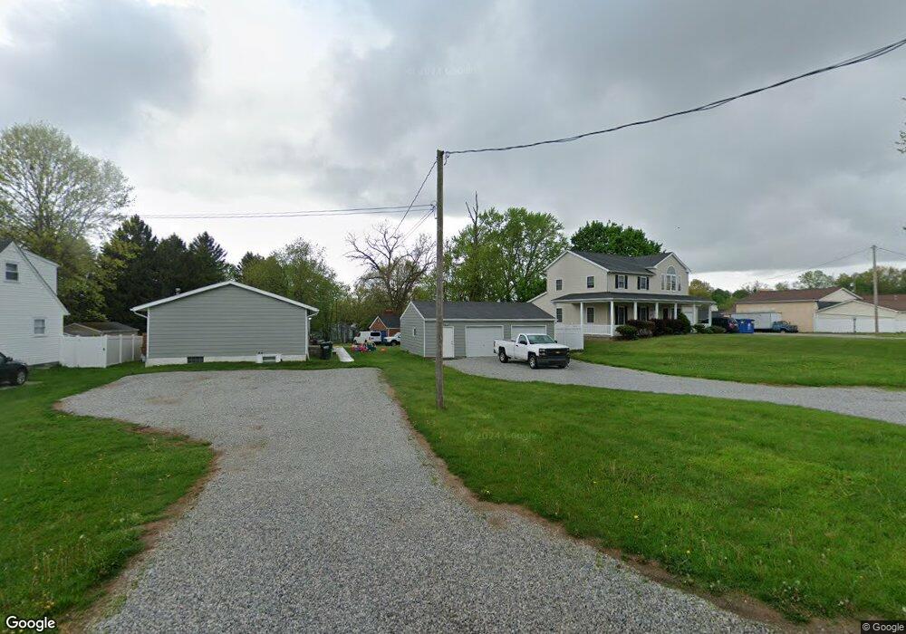
This home is located at 2757 Michaels Dr, Akron, OH 44312 and is currently estimated at $117,392, approximately $86 per square foot. 2757 Michaels Dr is a home located in Summit County with nearby schools including Springfield High School, Summit Academy Akron Elementary School, and Hatton Community Learning Center.
Ownership History
Date
Name
Owned For
Owner Type
Purchase Details
Closed on
May 19, 2021
Sold by
Peters Gregory S and Peters Sheri A
Bought by
Tolson Logan J
Current Estimated Value
Home Financials for this Owner
Home Financials are based on the most recent Mortgage that was taken out on this home.
Original Mortgage
$94,350
Outstanding Balance
$85,140
Interest Rate
3.1%
Mortgage Type
Future Advance Clause Open End Mortgage
Estimated Equity
$32,252
Create a Home Valuation Report for This Property
The Home Valuation Report is an in-depth analysis detailing your home's value as well as a comparison with similar homes in the area
Home Values in the Area
Average Home Value in this Area
Purchase History
| Date | Buyer | Sale Price | Title Company |
|---|---|---|---|
| Tolson Logan J | $111,000 | Buckeye Reserve Title Agency |
Source: Public Records
Mortgage History
| Date | Status | Borrower | Loan Amount |
|---|---|---|---|
| Open | Tolson Logan J | $94,350 |
Source: Public Records
Tax History Compared to Growth
Tax History
| Year | Tax Paid | Tax Assessment Tax Assessment Total Assessment is a certain percentage of the fair market value that is determined by local assessors to be the total taxable value of land and additions on the property. | Land | Improvement |
|---|---|---|---|---|
| 2025 | $399 | $7,966 | $5,866 | $2,100 |
| 2024 | $399 | $7,966 | $5,866 | $2,100 |
| 2023 | $399 | $7,966 | $5,866 | $2,100 |
| 2022 | $321 | $5,698 | $3,598 | $2,100 |
| 2021 | $325 | $5,698 | $3,598 | $2,100 |
| 2020 | $320 | $5,700 | $3,600 | $2,100 |
| 2019 | $407 | $6,700 | $3,420 | $3,280 |
| 2018 | $401 | $6,700 | $3,420 | $3,280 |
| 2017 | $417 | $6,700 | $3,420 | $3,280 |
| 2016 | $421 | $6,700 | $3,420 | $3,280 |
| 2015 | $417 | $6,700 | $3,420 | $3,280 |
| 2014 | $383 | $6,700 | $3,420 | $3,280 |
| 2013 | $596 | $10,340 | $6,910 | $3,430 |
Source: Public Records
Map
Nearby Homes
- 1108 Stinard Ave
- 3007 E Waterloo Rd
- 2789 Old Home Rd
- 1357 Shanafelt Ave
- 2809 McElwain Rd
- 2831 McElwain Rd
- 2941 Old Home Rd
- 2545 Cross Way
- 1376 Catherine Extension Ave
- 1466 3rd St
- 1504 3rd St
- 2510 South St
- 648 Alta Vista Ave
- V/L Sanitarium Rd
- 1121 Brittany Blvd
- 905 1/2 Shadybrook Dr
- 1054 Crestline Dr
- 681 Stevenson Ave
- 448 Fritsch Ave
- 1605 Pawnee Blvd
- 2757 Michaels Dr
- 2749 Michaels Dr
- 2733 Michaels Dr
- 2733 Michaels Dr
- 2752 Michaels Dr
- 1063 Calvin St
- 1083 Calvin St
- 2742 Michaels Dr
- 2742 Michaels Dr
- 2740 Chelsea Dr
- 2731 Michaels Dr
- 2732 Michaels Dr
- 2769 Springfield Lake Dr
- 2755 Springfield Lake Dr
- 2728 Michaels Dr
- 1370 Canton Rd
- 2720 Chelsea Dr
- 11004 Danforth Rd
- 2777 Springfield Lake Dr
- 2749 Chelsea Dr