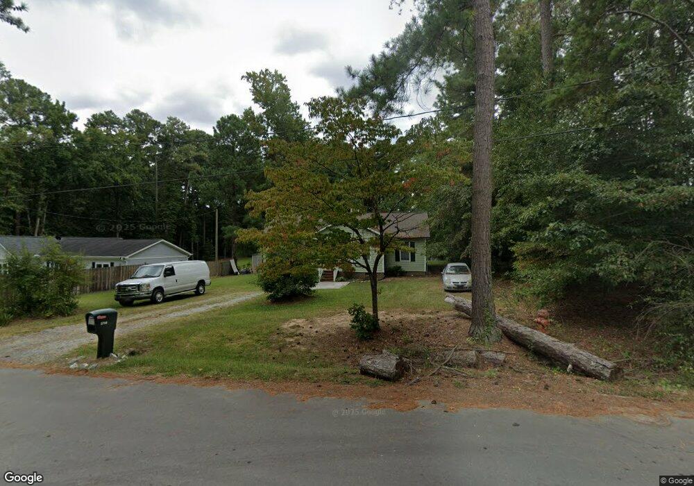
2758 Mansfield Ave Durham, NC 27703
Eastern Durham NeighborhoodEstimated Value: $293,000 - $315,000
3
Beds
2
Baths
1,353
Sq Ft
$225/Sq Ft
Est. Value
About This Home
This home is located at 2758 Mansfield Ave, Durham, NC 27703 and is currently estimated at $304,209, approximately $224 per square foot. 2758 Mansfield Ave is a home located in Durham County with nearby schools including Merrick-Moore Elementary School, John W Neal Middle School, and Southern School of Energy & Sustainability.
Ownership History
Date
Name
Owned For
Owner Type
Purchase Details
Closed on
Feb 27, 1998
Sold by
Compton Lyle H
Bought by
Mckoy Bernadette
Current Estimated Value
Home Financials for this Owner
Home Financials are based on the most recent Mortgage that was taken out on this home.
Original Mortgage
$104,528
Outstanding Balance
$18,852
Interest Rate
6.86%
Mortgage Type
FHA
Estimated Equity
$285,357
Create a Home Valuation Report for This Property
The Home Valuation Report is an in-depth analysis detailing your home's value as well as a comparison with similar homes in the area
Home Values in the Area
Average Home Value in this Area
Purchase History
| Date | Buyer | Sale Price | Title Company |
|---|---|---|---|
| Mckoy Bernadette | $105,000 | -- |
Source: Public Records
Mortgage History
| Date | Status | Borrower | Loan Amount |
|---|---|---|---|
| Open | Mckoy Bernadette | $104,528 |
Source: Public Records
Tax History Compared to Growth
Tax History
| Year | Tax Paid | Tax Assessment Tax Assessment Total Assessment is a certain percentage of the fair market value that is determined by local assessors to be the total taxable value of land and additions on the property. | Land | Improvement |
|---|---|---|---|---|
| 2025 | $2,962 | $298,783 | $106,600 | $192,183 |
| 2024 | $2,086 | $149,553 | $36,990 | $112,563 |
| 2023 | $1,959 | $149,553 | $36,990 | $112,563 |
| 2022 | $1,914 | $149,553 | $36,990 | $112,563 |
| 2021 | $1,905 | $149,553 | $36,990 | $112,563 |
| 2020 | $1,860 | $149,553 | $36,990 | $112,563 |
| 2019 | $1,860 | $149,553 | $36,990 | $112,563 |
| 2018 | $1,531 | $112,872 | $24,660 | $88,212 |
| 2017 | $1,520 | $112,872 | $24,660 | $88,212 |
| 2016 | $1,469 | $112,872 | $24,660 | $88,212 |
| 2015 | $1,890 | $136,538 | $21,898 | $114,640 |
| 2014 | $1,890 | $136,538 | $21,898 | $114,640 |
Source: Public Records
Map
Nearby Homes
- 2804 Lutz Ln
- 8 Elaine Cir
- 2619 Mansfield Ave
- 431 Princess Anne Dr
- 713 Heidelberg St
- 0 Seford Dr
- Plan 1359 Modeled at Aster Ridge
- Plan 1601 Modeled at Aster Ridge
- Plan 1155 Modeled at Aster Ridge
- 525 N Hoover Rd
- 2513 Rochelle St
- 2605 Holloway St
- 322+326 Chandler Rd
- Beramont Plan at Chandler Run
- Merlot Plan at Chandler Run
- Millhaven Plan at Chandler Run
- 903 Outlaw Ave Unit Homesite 21
- 3033 Fenimore St
- 2010 Rabbitbrush St
- 3005 Chrys St
- 2804 Mansfield Ave
- 2754 Mansfield Ave
- 2904 Mansfield Ave
- 2750 Mansfield Ave
- 604 Belmont Dr
- 2757 Mansfield Ave
- 2753 Mansfield Ave
- 606 Belmont Dr
- 607 Belmont Dr
- 2746 Mansfield Ave
- 2715 Independence Ave
- 2751 Mansfield Ave
- 2713 Independence Ave
- 608 Belmont Dr
- 2711 Independence Ave
- 2745 Mansfield Ave
- 2744 Mansfield Ave
- 612 Belmont Dr
- 2836 Dodson St
- 2709 Independence Ave