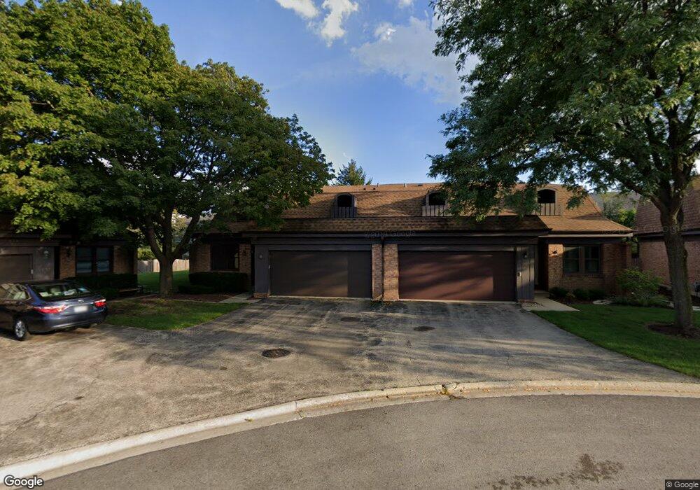
2759 Wilshire Ln Northbrook, IL 60062
Estimated Value: $480,957 - $560,000
3
Beds
2
Baths
1,818
Sq Ft
$283/Sq Ft
Est. Value
About This Home
This home is located at 2759 Wilshire Ln, Northbrook, IL 60062 and is currently estimated at $514,239, approximately $282 per square foot. 2759 Wilshire Ln is a home located in Cook County with nearby schools including Westmoor Elementary School, Northbrook Junior High School, and Glenbrook North High School.
Ownership History
Date
Name
Owned For
Owner Type
Purchase Details
Closed on
Mar 31, 1994
Sold by
Chicago Title & Trust Company
Bought by
Dallas Ruth Kessler
Current Estimated Value
Home Financials for this Owner
Home Financials are based on the most recent Mortgage that was taken out on this home.
Original Mortgage
$162,000
Interest Rate
6.37%
Create a Home Valuation Report for This Property
The Home Valuation Report is an in-depth analysis detailing your home's value as well as a comparison with similar homes in the area
Home Values in the Area
Average Home Value in this Area
Purchase History
| Date | Buyer | Sale Price | Title Company |
|---|---|---|---|
| Dallas Ruth Kessler | $202,500 | First American Title |
Source: Public Records
Mortgage History
| Date | Status | Borrower | Loan Amount |
|---|---|---|---|
| Closed | Dallas Ruth Kessler | $162,000 |
Source: Public Records
Tax History Compared to Growth
Tax History
| Year | Tax Paid | Tax Assessment Tax Assessment Total Assessment is a certain percentage of the fair market value that is determined by local assessors to be the total taxable value of land and additions on the property. | Land | Improvement |
|---|---|---|---|---|
| 2024 | $8,381 | $40,001 | $6,998 | $33,003 |
| 2023 | $8,770 | $40,001 | $6,998 | $33,003 |
| 2022 | $8,770 | $43,000 | $7,000 | $36,000 |
| 2021 | $6,827 | $30,659 | $5,206 | $25,453 |
| 2020 | $6,746 | $30,659 | $5,206 | $25,453 |
| 2019 | $6,546 | $33,692 | $5,206 | $28,486 |
| 2018 | $7,781 | $36,660 | $4,521 | $32,139 |
| 2017 | $7,593 | $36,660 | $4,521 | $32,139 |
| 2016 | $7,330 | $36,660 | $4,521 | $32,139 |
| 2015 | $6,878 | $31,654 | $3,836 | $27,818 |
| 2014 | $6,582 | $31,654 | $3,836 | $27,818 |
| 2013 | $6,366 | $31,654 | $3,836 | $27,818 |
Source: Public Records
Map
Nearby Homes
- 771 Greenwood Rd
- 783 Greenwood Rd
- 795 Greenwood Rd
- 2814 Crimson Ct
- 519 Anthony Trail
- 3030 Pheasant Creek Dr Unit 102
- 3030 Pheasant Creek Dr Unit 207
- 2874 Maria Ave
- 3050 Pheasant Creek Dr Unit 301
- 3070 Pheasant Creek Dr Unit 201
- 945 Hawthorne Ln
- 821 Woodbine Ln
- 1012 Sussex Dr Unit 1012
- 1039 Sussex Dr Unit 1039
- 3110 Pheasant Creek Dr Unit 101
- 3110 Pheasant Creek Dr Unit 206
- 3110 Pheasant Creek Dr Unit A
- 1331 Pfingsten Rd
- 1341 Pfingsten Rd
- 47 The Court of Greenway Unit 121
- 2757 Wilshire Ln
- 2761 Wilshire Ln
- 2755 Wilshire Ln
- 2763 Wilshire Ln
- 2768 The Mews
- 2770 The Mews
- 2747 Wilshire Ln
- 2772 The Mews
- 2745 Wilshire Ln
- 2753 Wilshire Ln
- 2774 The Mews
- 2749 Wilshire Ln
- 2765 Wilshire Ln
- 2776 The Mews
- 2752 The Mews
- 2751 Wilshire Ln
- 2778 The Mews
- 2767 Wilshire Ln
- 2743 Wilshire Ln
- 2750 The Mews