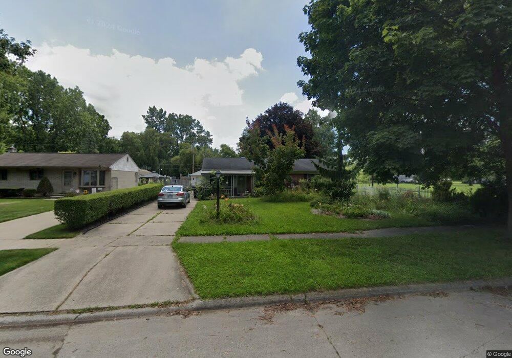
27595 Powers St Westland, MI 48186
Estimated Value: $172,000 - $190,040
3
Beds
1
Bath
1,419
Sq Ft
$127/Sq Ft
Est. Value
About This Home
This home is located at 27595 Powers St, Westland, MI 48186 and is currently estimated at $180,510, approximately $127 per square foot. 27595 Powers St is a home located in Wayne County with nearby schools including Taylor Parks Elementary School, Hoover Middle School, and Taylor High School.
Ownership History
Date
Name
Owned For
Owner Type
Purchase Details
Closed on
Jun 8, 2011
Sold by
Edwards Fredric L
Bought by
Willis Nicole
Current Estimated Value
Purchase Details
Closed on
Feb 12, 2010
Sold by
Donovan Shaun and Secretary Of Housing & Urban D
Bought by
Edwards Fredric L
Purchase Details
Closed on
Oct 8, 2009
Sold by
Chase Home Finance Llc
Bought by
The Secretary Of Housing & Urban Develop
Purchase Details
Closed on
Mar 25, 2009
Sold by
Sanders Joey D
Bought by
Chase Home Finance Llc
Purchase Details
Closed on
Nov 23, 2004
Sold by
Leclaire Joseph and Leclaire Mary
Bought by
Sanders Joey D
Create a Home Valuation Report for This Property
The Home Valuation Report is an in-depth analysis detailing your home's value as well as a comparison with similar homes in the area
Home Values in the Area
Average Home Value in this Area
Purchase History
| Date | Buyer | Sale Price | Title Company |
|---|---|---|---|
| Willis Nicole | $42,500 | Fidelity Natl Title Ins Co | |
| Edwards Fredric L | $30,091 | None Available | |
| The Secretary Of Housing & Urban Develop | -- | None Available | |
| Chase Home Finance Llc | $123,498 | None Available | |
| Sanders Joey D | $123,497 | Commonwealth Land Title |
Source: Public Records
Tax History Compared to Growth
Tax History
| Year | Tax Paid | Tax Assessment Tax Assessment Total Assessment is a certain percentage of the fair market value that is determined by local assessors to be the total taxable value of land and additions on the property. | Land | Improvement |
|---|---|---|---|---|
| 2025 | $1,257 | $86,700 | $0 | $0 |
| 2024 | $1,257 | $84,900 | $0 | $0 |
| 2023 | $1,293 | $69,800 | $0 | $0 |
| 2022 | $1,525 | $57,100 | $0 | $0 |
| 2021 | $1,437 | $48,300 | $0 | $0 |
| 2020 | $1,419 | $37,400 | $0 | $0 |
| 2019 | $1,362 | $32,300 | $0 | $0 |
| 2018 | $1,035 | $29,100 | $0 | $0 |
| 2017 | $588 | $27,500 | $0 | $0 |
| 2016 | $1,283 | $28,300 | $0 | $0 |
| 2015 | $2,798 | $27,980 | $0 | $0 |
| 2013 | $3,040 | $31,680 | $0 | $0 |
| 2012 | $1,237 | $31,500 | $0 | $0 |
Source: Public Records
Map
Nearby Homes
- 27523 Powers St
- POWERS Powers St
- 5526 Sylvia St
- 4133 Moore St
- 4120 Ash St
- 4054 Moore St
- 27285 Colgate St
- 4315 Isabelle St
- 6002 Frederick St Unit 81
- 6018 Frederick St Unit 83
- 28919 Powers St
- 28654 N Maple St Unit 131
- 5926 Esther St
- 4061 Wellington St
- 3925 Spruce St
- 28951 Powers St
- 5898 W Maple St Unit 177
- 4863 Glenis St
- 27022 Colgate St
- 6211 Inkster Rd
- 27581 Powers St
- 27567 Powers St
- 27608 Powers St
- 27608 Powers St
- 27582 Powers St
- 27547 Powers St
- 27633 Powers St
- 111 Powers St
- 27554 Powers St
- 27634 Powers St
- 27568 Powers St
- 27620 Powers St
- 27650 Powers St
- 5329 Admiral St
- 27540 Powers St
- 27511 Powers St
- 27920 Hanover Blvd
- 27512 Powers St
- 27512 Powers St
- 28013 Powers St