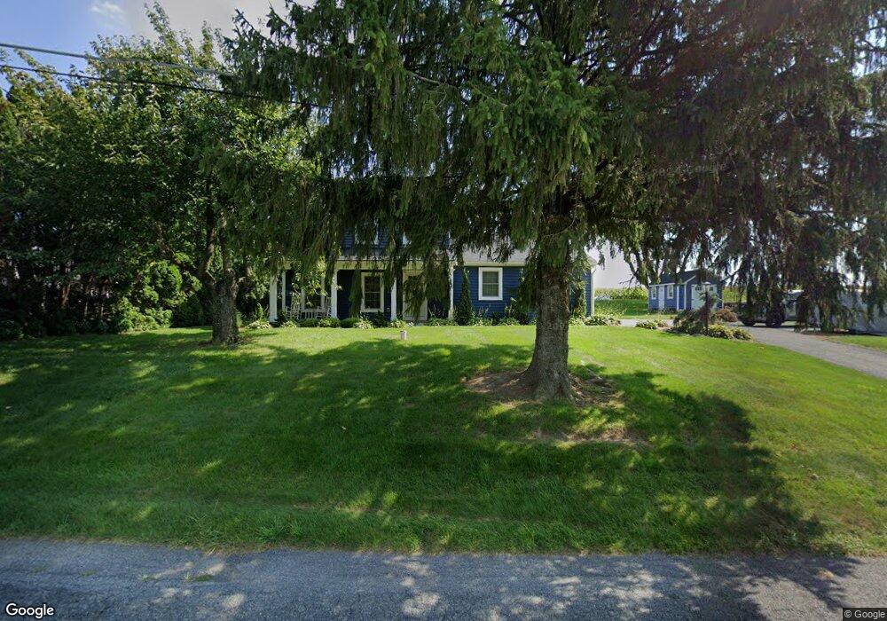
276 Brenneman Rd Lancaster, PA 17603
New Danville NeighborhoodEstimated Value: $379,000 - $481,000
3
Beds
2
Baths
1,944
Sq Ft
$222/Sq Ft
Est. Value
About This Home
This home is located at 276 Brenneman Rd, Lancaster, PA 17603 and is currently estimated at $432,489, approximately $222 per square foot. 276 Brenneman Rd is a home located in Lancaster County with nearby schools including Pequea Elementary School, Marticville Middle School, and Penn Manor High School.
Ownership History
Date
Name
Owned For
Owner Type
Purchase Details
Closed on
Jan 7, 2005
Sold by
Hershey George B and Hershey Pamela R
Bought by
White David J and White Danelle L
Current Estimated Value
Home Financials for this Owner
Home Financials are based on the most recent Mortgage that was taken out on this home.
Original Mortgage
$138,400
Outstanding Balance
$70,153
Interest Rate
5.81%
Mortgage Type
Purchase Money Mortgage
Estimated Equity
$362,336
Create a Home Valuation Report for This Property
The Home Valuation Report is an in-depth analysis detailing your home's value as well as a comparison with similar homes in the area
Home Values in the Area
Average Home Value in this Area
Purchase History
| Date | Buyer | Sale Price | Title Company |
|---|---|---|---|
| White David J | $173,000 | First American Title Ins Co |
Source: Public Records
Mortgage History
| Date | Status | Borrower | Loan Amount |
|---|---|---|---|
| Open | White David J | $138,400 | |
| Closed | White David J | $34,600 |
Source: Public Records
Tax History
| Year | Tax Paid | Tax Assessment Tax Assessment Total Assessment is a certain percentage of the fair market value that is determined by local assessors to be the total taxable value of land and additions on the property. | Land | Improvement |
|---|---|---|---|---|
| 2025 | $4,584 | $204,500 | $57,400 | $147,100 |
| 2024 | $4,584 | $204,500 | $57,400 | $147,100 |
| 2023 | $4,584 | $204,500 | $57,400 | $147,100 |
| 2022 | $4,499 | $204,500 | $57,400 | $147,100 |
| 2021 | $4,388 | $204,500 | $57,400 | $147,100 |
| 2020 | $4,388 | $204,500 | $57,400 | $147,100 |
| 2019 | $4,217 | $202,000 | $57,400 | $144,600 |
| 2018 | $4,957 | $202,000 | $57,400 | $144,600 |
| 2017 | $3,497 | $140,400 | $26,800 | $113,600 |
| 2016 | $3,497 | $140,400 | $26,800 | $113,600 |
| 2015 | $791 | $140,400 | $26,800 | $113,600 |
| 2014 | $2,354 | $140,400 | $26,800 | $113,600 |
Source: Public Records
Map
Nearby Homes
- 2093 New Danville Pike
- 337 Eckman Rd
- 340 Wendover Way
- 217 Weatherfield Place
- 6 Myrtlewood Ct
- 1596 New Danville Pike
- 1827 Divot Ct
- 206 Meadia Ave
- 111 Marticville Rd
- 270 Kentshire Dr
- 268 Kentshire Dr
- 113 Florentine Dr
- 119 Hillard Field
- 23 Deerfield Rd
- 133 Sprecher Rd
- 636 Bean Hill Rd
- 256 Pilgrim Dr
- 233 Pilgrim Dr
- 231 Pilgrim Dr
- 229 Pilgrim Dr
- 274 Brenneman Rd
- 260 Brenneman Rd
- 282 Brenneman Rd
- 258 Brenneman Rd
- 284 Brenneman Rd
- 256 Brenneman Rd
- 273 Brenneman Rd
- 286 Brenneman Rd
- 271 Brenneman Rd
- 254 Brenneman Rd
- 252 Brenneman Rd
- 269 Brenneman Rd
- 250 Brenneman Rd
- 265 Brenneman Rd
- 267 Brenneman Rd
- 248 Brenneman Rd
- 246 Brenneman Rd
- 245 Brenneman Rd
- 244 Brenneman Rd
- 243 Brenneman Rd
Your Personal Tour Guide
Ask me questions while you tour the home.