Estimated Value: $229,660 - $244,000
3
Beds
3
Baths
1,460
Sq Ft
$163/Sq Ft
Est. Value
About This Home
This home is located at 276 Enterprise Path, Hiram, GA 30141 and is currently estimated at $238,165, approximately $163 per square foot. 276 Enterprise Path is a home located in Paulding County with nearby schools including Hiram Elementary School, P. B. Ritch Middle School, and Hiram High School.
Ownership History
Date
Name
Owned For
Owner Type
Purchase Details
Closed on
Jun 17, 2022
Sold by
Thompson Richard S
Bought by
Thompson Richard S and Thompson Melissa
Current Estimated Value
Home Financials for this Owner
Home Financials are based on the most recent Mortgage that was taken out on this home.
Original Mortgage
$94,000
Outstanding Balance
$83,514
Interest Rate
5.25%
Mortgage Type
New Conventional
Estimated Equity
$154,651
Purchase Details
Closed on
Aug 29, 2001
Sold by
Steve Simpson Investments Inc
Purchase Details
Closed on
Jun 28, 2001
Sold by
Westwind Dev Inc
Bought by
Paulk Katherine
Home Financials for this Owner
Home Financials are based on the most recent Mortgage that was taken out on this home.
Original Mortgage
$91,502
Interest Rate
7.08%
Mortgage Type
New Conventional
Create a Home Valuation Report for This Property
The Home Valuation Report is an in-depth analysis detailing your home's value as well as a comparison with similar homes in the area
Home Values in the Area
Average Home Value in this Area
Purchase History
| Date | Buyer | Sale Price | Title Company |
|---|---|---|---|
| Thompson Richard S | -- | -- | |
| -- | -- | -- | |
| Paulk Katherine | $94,900 | -- |
Source: Public Records
Mortgage History
| Date | Status | Borrower | Loan Amount |
|---|---|---|---|
| Open | Thompson Richard S | $94,000 | |
| Previous Owner | Paulk Katherine | $91,502 |
Source: Public Records
Tax History
| Year | Tax Paid | Tax Assessment Tax Assessment Total Assessment is a certain percentage of the fair market value that is determined by local assessors to be the total taxable value of land and additions on the property. | Land | Improvement |
|---|---|---|---|---|
| 2025 | $2,346 | $100,976 | $12,000 | $88,976 |
| 2024 | $2,109 | $88,004 | $12,000 | $76,004 |
| 2023 | $2,227 | $87,948 | $12,000 | $75,948 |
| 2022 | $1,913 | $75,248 | $12,000 | $63,248 |
| 2021 | $1,519 | $54,148 | $6,000 | $48,148 |
| 2020 | $1,481 | $51,728 | $6,000 | $45,728 |
| 2019 | $1,436 | $49,500 | $6,000 | $43,500 |
| 2018 | $1,099 | $38,344 | $4,000 | $34,344 |
| 2017 | $930 | $32,300 | $4,000 | $28,300 |
| 2016 | $870 | $30,652 | $4,000 | $26,652 |
| 2015 | $893 | $30,884 | $4,000 | $26,884 |
| 2014 | $578 | $20,164 | $4,000 | $16,164 |
| 2013 | -- | $16,080 | $4,000 | $12,080 |
Source: Public Records
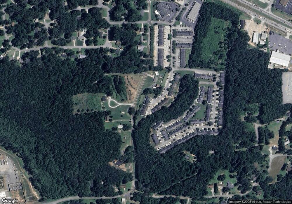
Map
Nearby Homes
- 209 Enterprise Path
- 636 Hardy Way
- 137 Venture Path
- 301 C W Sims Rd
- 371 C W Sims Rd
- 241 Hardy Way
- 132 Hardy Way
- 89 Hiram Park Ct
- 000 Us Highway 278
- 132 Highland Falls Dr
- 329 Hiram Douglasville Hwy
- 263 Hiram Douglasville Hwy
- 277 Highland Falls Blvd
- 491 Hiram Douglasville Hwy
- 0 Old Mill Rd Unit 10687112
- 585 Hiram Douglasville Hwy
- 0 Highway 278 NE Unit 10338401
- 244 Rosedale Dr
- 17 High Point Way
- 295 Hiram Acworth Hwy
- 280 Enterprise Path
- 272 Enterprise Path
- 268 Enterprise Path
- 284 Enterprise Path
- 288 Enterprise Path
- 292 Enterprise Path
- 292 Enterprise Path
- 296 Enterprise Path Unit 303
- 296 Enterprise Path
- 300 Enterprise Path
- 300 Enterprise Path Unit 300
- 273 Enterprise Path Unit 273
- 273 Enterprise Path
- 304 Enterprise Path
- 277 Enterprise Path
- 281 Enterprise Path
- 269 Enterprise Path
- 265 Enterprise Path
- 261 Enterprise Path
- 185 Watts Rd
Your Personal Tour Guide
Ask me questions while you tour the home.