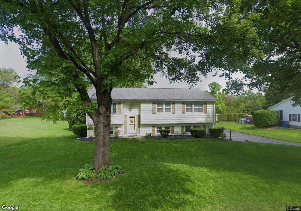
276 Greystone Ave West Springfield, MA 01089
Estimated Value: $353,000 - $377,000
3
Beds
3
Baths
1,144
Sq Ft
$318/Sq Ft
Est. Value
About This Home
This home is located at 276 Greystone Ave, West Springfield, MA 01089 and is currently estimated at $364,247, approximately $318 per square foot. 276 Greystone Ave is a home located in Hampden County with nearby schools including St Thomas The Apostle School.
Ownership History
Date
Name
Owned For
Owner Type
Purchase Details
Closed on
Oct 27, 1989
Sold by
Hall Thomas A
Bought by
Connors Patrick J
Current Estimated Value
Create a Home Valuation Report for This Property
The Home Valuation Report is an in-depth analysis detailing your home's value as well as a comparison with similar homes in the area
Home Values in the Area
Average Home Value in this Area
Purchase History
| Date | Buyer | Sale Price | Title Company |
|---|---|---|---|
| Connors Patrick J | $161,500 | -- |
Source: Public Records
Mortgage History
| Date | Status | Borrower | Loan Amount |
|---|---|---|---|
| Open | Connors Patrick J | $42,700 | |
| Closed | Connors Patrick J | $25,000 | |
| Closed | Connors Patrick J | $102,000 |
Source: Public Records
Tax History Compared to Growth
Tax History
| Year | Tax Paid | Tax Assessment Tax Assessment Total Assessment is a certain percentage of the fair market value that is determined by local assessors to be the total taxable value of land and additions on the property. | Land | Improvement |
|---|---|---|---|---|
| 2025 | $4,550 | $306,000 | $128,100 | $177,900 |
| 2024 | $4,548 | $307,100 | $128,100 | $179,000 |
| 2023 | $4,172 | $268,500 | $128,100 | $140,400 |
| 2022 | $3,847 | $244,100 | $116,300 | $127,800 |
| 2021 | $3,801 | $224,900 | $108,800 | $116,100 |
| 2020 | $3,768 | $221,800 | $108,800 | $113,000 |
| 2019 | $3,762 | $221,800 | $108,800 | $113,000 |
| 2018 | $3,782 | $221,800 | $108,800 | $113,000 |
| 2017 | $3,782 | $221,800 | $108,800 | $113,000 |
| 2016 | $3,689 | $217,100 | $104,600 | $112,500 |
| 2015 | $3,617 | $212,900 | $102,500 | $110,400 |
| 2014 | $878 | $212,900 | $102,500 | $110,400 |
Source: Public Records
Map
Nearby Homes
- 260 Wolcott Ave
- 180 Wolcott Ave
- 167 Wolcott Ave
- 16 North St
- 514 Dewey St
- 31 Stone Path Ln
- 283 Forest Glen
- 148 Craiwell Ave
- 65 Verdugo St
- 43 Houston Rd
- 142 Morton St
- 258 Poplar Ave
- 19 Cora St
- 61 Clarence St
- 42 Janet St
- 34 High Meadow Dr
- 416 Hillcrest Ave
- 17 Laurence Dr
- 74 Maple Terrace
- 36 Maple Terrace
- 264 Greystone Ave
- 282 Greystone Ave
- 27 Butternut Hollow Rd
- 15 Butternut Hollow Rd
- 254 Greystone Ave
- 35 Butternut Hollow Rd
- 265 Greystone Ave
- 292 Greystone Ave
- 5 Butternut Hollow Rd
- 293 Greystone Ave
- 47 Butternut Hollow Rd
- 244 Greystone Ave
- 233 Wolcott Ave
- 245 Greystone Ave
- 302 Greystone Ave
- 188 Falmouth Rd
- 178 Falmouth Rd
- 301 Greystone Ave
- 59 Butternut Hollow Rd
- 198 Falmouth Rd