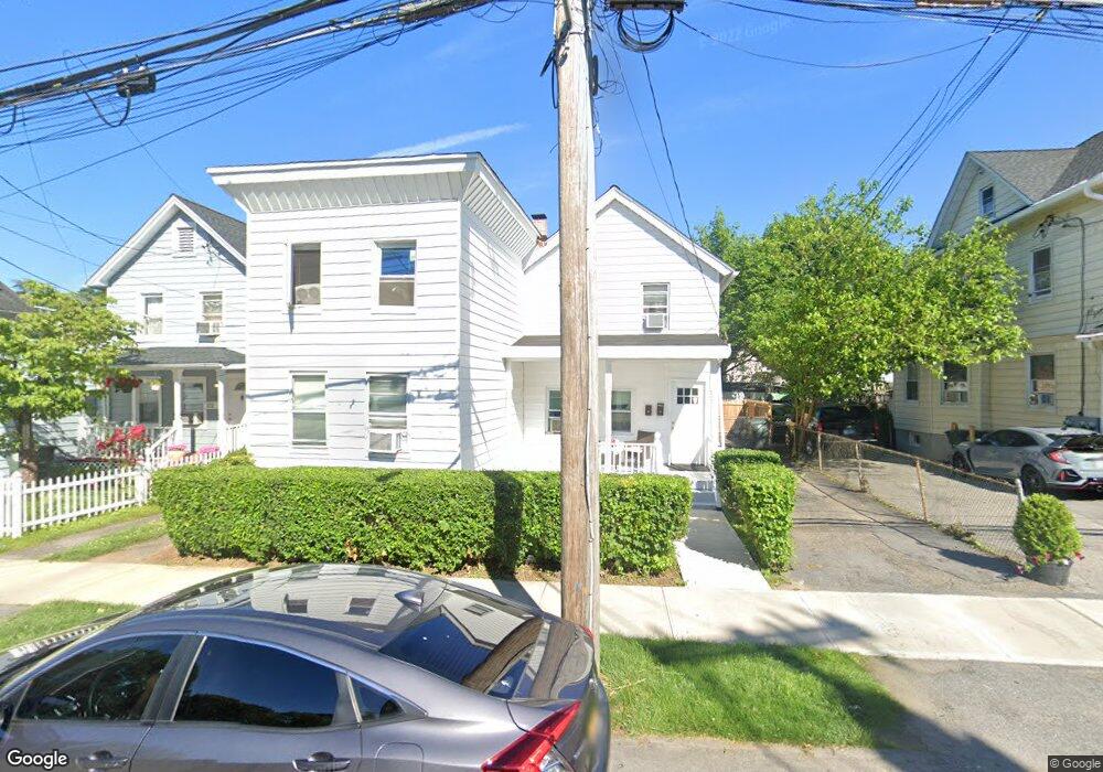
276 Locust Ave Unit 1 Port Chester, NY 10573
Estimated Value: $598,000 - $673,320
3
Beds
2
Baths
1,638
Sq Ft
$386/Sq Ft
Est. Value
About This Home
This home is located at 276 Locust Ave Unit 1, Port Chester, NY 10573 and is currently estimated at $632,580, approximately $386 per square foot. 276 Locust Ave Unit 1 is a home located in Westchester County with nearby schools including Port Chester Senior High School, Corpus Christi Holy Rosary School, and Westchester Fairfield Hebrew A.
Ownership History
Date
Name
Owned For
Owner Type
Purchase Details
Closed on
Jan 19, 2016
Sold by
Briganti Joseph
Bought by
Dieudonne Elvire and Dieudonne Elvire Rose
Current Estimated Value
Home Financials for this Owner
Home Financials are based on the most recent Mortgage that was taken out on this home.
Original Mortgage
$328,932
Interest Rate
4.62%
Mortgage Type
FHA
Create a Home Valuation Report for This Property
The Home Valuation Report is an in-depth analysis detailing your home's value as well as a comparison with similar homes in the area
Home Values in the Area
Average Home Value in this Area
Purchase History
| Date | Buyer | Sale Price | Title Company |
|---|---|---|---|
| Dieudonne Elvire | $335,000 | None Available |
Source: Public Records
Mortgage History
| Date | Status | Borrower | Loan Amount |
|---|---|---|---|
| Closed | Dieudonne Elvire | $328,932 |
Source: Public Records
Tax History Compared to Growth
Tax History
| Year | Tax Paid | Tax Assessment Tax Assessment Total Assessment is a certain percentage of the fair market value that is determined by local assessors to be the total taxable value of land and additions on the property. | Land | Improvement |
|---|---|---|---|---|
| 2024 | $11,725 | $523,400 | $120,100 | $403,300 |
| 2023 | $11,373 | $489,200 | $114,400 | $374,800 |
| 2022 | $9,536 | $461,500 | $114,400 | $347,100 |
| 2021 | $10,405 | $388,700 | $114,400 | $274,300 |
| 2020 | $10,286 | $381,100 | $114,400 | $266,700 |
| 2019 | $13,780 | $348,500 | $114,800 | $233,700 |
| 2018 | $7,011 | $344,700 | $116,100 | $228,600 |
| 2017 | $1,401 | $339,000 | $107,400 | $231,600 |
| 2016 | $12,496 | $318,200 | $102,300 | $215,900 |
| 2015 | -- | $323,000 | $112,600 | $210,400 |
| 2014 | -- | $241,000 | $86,200 | $154,800 |
| 2013 | -- | $241,000 | $86,200 | $154,800 |
Source: Public Records
Map
Nearby Homes
- 412 Orchard St
- 16 Rollhaus Place
- 340 Locust Ave
- 315 King St Unit 1L
- 315 King St Unit 6A
- 315 King St Unit 1B
- 315 King St Unit 2H
- 315 King St Unit 5C
- 315 King St Unit 5B
- 325 King St Unit 2G
- 325 King St Unit 4D
- 325 King St Unit 6J
- 1 Landmark Square Unit 233
- 1 Landmark Square Unit 411
- 1 Landmark Square Unit 530
- 1 Landmark Square Unit 613
- 1 Landmark Square Unit 235
- 1 Landmark Square Unit 302
- 374 King St
- 53 Linden St
- 276 Locust Ave
- 278 Locust Ave
- 272 Locust Ave
- 280 Locust Ave Unit 1
- 280 Locust Ave Unit 2
- 172 Rectory St
- 268 Locust Ave
- 284 Locust Ave
- 170 Rectory St
- 357 Willett Ave
- 264 Locust Ave
- 361 Willett Ave
- 363 Willett Ave
- 365 Willett Ave
- 353 Willett Ave Unit 1
- 353 Willett Ave
- 367 Willett Ave
- 260 Locust Ave
- 359 Willett Ave
- 349 Willett Ave