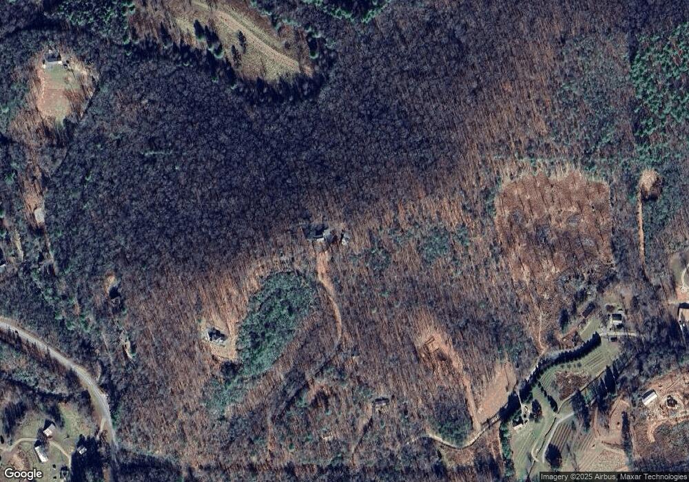
276 Lost Forest Rd Blairsville, GA 30512
Estimated Value: $571,149 - $729,000
--
Bed
4
Baths
3,547
Sq Ft
$189/Sq Ft
Est. Value
About This Home
This home is located at 276 Lost Forest Rd, Blairsville, GA 30512 and is currently estimated at $671,287, approximately $189 per square foot. 276 Lost Forest Rd is a home located in Union County with nearby schools including Union County Primary School, Union County Elementary School, and Union County Middle School.
Ownership History
Date
Name
Owned For
Owner Type
Purchase Details
Closed on
Apr 22, 2021
Sold by
Allison Dale A
Bought by
Taylor Kyle Brandon and Taylor William B
Current Estimated Value
Purchase Details
Closed on
Sep 30, 2002
Sold by
Allison Dale and Allison Carol
Bought by
Allison Carol D
Purchase Details
Closed on
Apr 3, 2000
Sold by
Allison Dale
Bought by
Allison Dale and Allison Carol
Purchase Details
Closed on
Feb 19, 1999
Sold by
Fegreus Richard R
Bought by
Allison Dale
Purchase Details
Closed on
Jun 9, 1980
Bought by
Fegreus Richard R
Create a Home Valuation Report for This Property
The Home Valuation Report is an in-depth analysis detailing your home's value as well as a comparison with similar homes in the area
Home Values in the Area
Average Home Value in this Area
Purchase History
| Date | Buyer | Sale Price | Title Company |
|---|---|---|---|
| Taylor Kyle Brandon | -- | -- | |
| Allison Carol D | -- | -- | |
| Allison Dale | -- | -- | |
| Allison Dale | $200,000 | -- | |
| Fegreus Richard R | $52,300 | -- |
Source: Public Records
Tax History Compared to Growth
Tax History
| Year | Tax Paid | Tax Assessment Tax Assessment Total Assessment is a certain percentage of the fair market value that is determined by local assessors to be the total taxable value of land and additions on the property. | Land | Improvement |
|---|---|---|---|---|
| 2024 | $2,591 | $221,440 | $19,000 | $202,440 |
| 2023 | $2,908 | $220,400 | $19,000 | $201,400 |
| 2022 | $2,338 | $177,600 | $16,640 | $160,960 |
| 2021 | $2,335 | $150,200 | $19,440 | $130,760 |
| 2020 | $1,938 | $104,443 | $15,886 | $88,557 |
| 2019 | $1,832 | $104,443 | $15,886 | $88,557 |
| 2018 | $1,835 | $104,443 | $15,886 | $88,557 |
| 2017 | $1,800 | $104,443 | $15,886 | $88,557 |
| 2016 | $1,800 | $104,443 | $15,886 | $88,557 |
| 2015 | $1,816 | $104,443 | $15,886 | $88,557 |
| 2013 | -- | $104,443 | $15,886 | $88,557 |
Source: Public Records
Map
Nearby Homes
- 0 Chickasaw Ln
- 6205 Owltown Rd
- Lot 26 Coosa Bend Dr
- 180 Laurel Ridge Rd
- 199 Oak Ridge Dr
- 199 Oak Ridge Dr
- #4 Lower Fox Trail
- Lot 10 Lower Fox Trail
- #3 Lower Fox Trail
- 283 Coosa Way
- 445 Golden Nugget Rd
- 445 Golden Nugget Rd Unit 216
- 247 Mountain Vista Rd Unit LOT 262
- LOT 268 Mountain Vista Rd
- 193 Mountain Vista Rd
- 115 Mountain Vista Rd Unit LOT 246
- 49 Mountain Vista Rd
- 371 Coosa Way
- 99 Mountain Vista Rd Unit LOT 244
- 467 Golden Nugget Rd
- 182 Lost Forest Rd
- 79 Lost Forest Rd
- 142 Lost Forest Rd
- 394 River Meadows
- 33 Jack Nicklaus Dr
- 98 Opossum Rd
- 152 O'Possum Rd
- 6584 Owltown Rd
- 60 Opossum Rd
- 513 White Rd
- LT 61 Opossum Rd
- 152 Opossum Rd
- TBD Opossum Rd
- 2841 Opossum Rd
- Lot60&61 Opossum Rd
- 0 Opossum Rd
- 400 White Rd
- 143 Opossum Rd
- 71 Chinquapin Place
- 317 Opossum Rd
