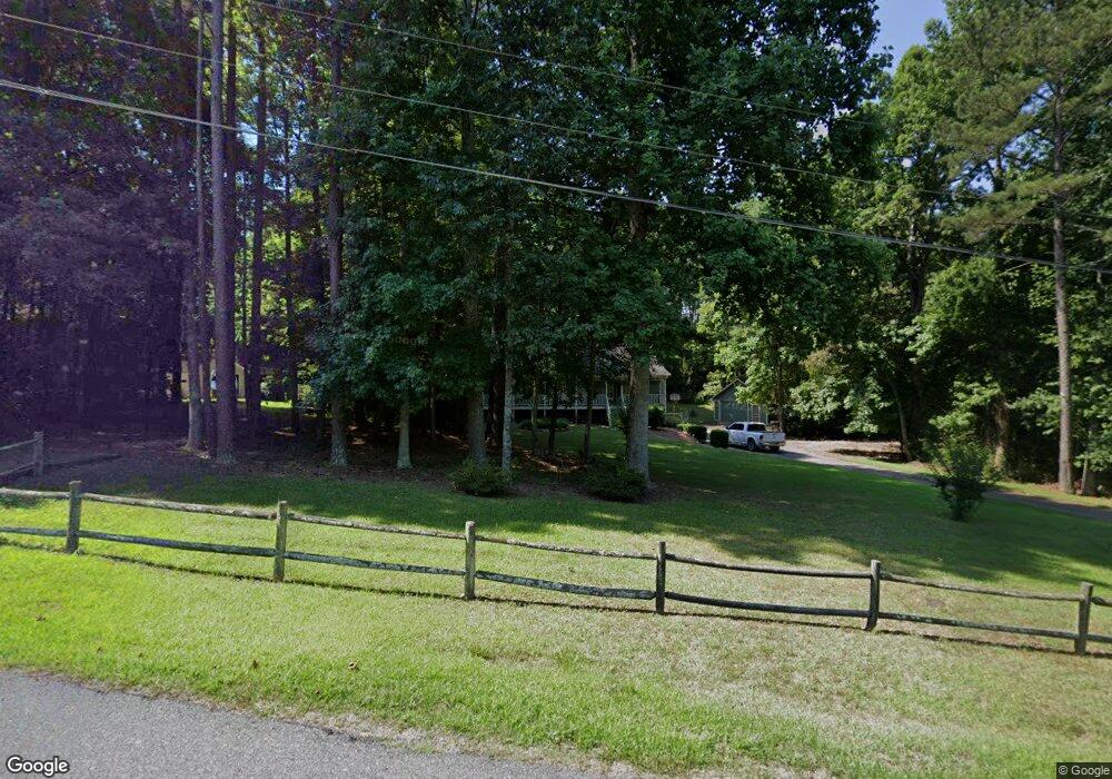
276 Mile Branch Rd Canton, GA 30114
Oak Grove NeighborhoodEstimated Value: $345,000 - $402,946
2
Beds
2
Baths
1,764
Sq Ft
$213/Sq Ft
Est. Value
About This Home
This home is located at 276 Mile Branch Rd, Canton, GA 30114 and is currently estimated at $375,987, approximately $213 per square foot. 276 Mile Branch Rd is a home located in Cherokee County with nearby schools including Liberty Elementary School, Freedom Middle School, and Cherokee High School.
Ownership History
Date
Name
Owned For
Owner Type
Purchase Details
Closed on
Feb 28, 2001
Sold by
Chester Kenneth and Chester Tammy
Bought by
Blackburn Frank E and Blackburn Shelby J
Current Estimated Value
Home Financials for this Owner
Home Financials are based on the most recent Mortgage that was taken out on this home.
Original Mortgage
$125,000
Outstanding Balance
$44,714
Interest Rate
7.12%
Mortgage Type
New Conventional
Estimated Equity
$331,273
Create a Home Valuation Report for This Property
The Home Valuation Report is an in-depth analysis detailing your home's value as well as a comparison with similar homes in the area
Home Values in the Area
Average Home Value in this Area
Purchase History
| Date | Buyer | Sale Price | Title Company |
|---|---|---|---|
| Blackburn Frank E | $145,000 | -- |
Source: Public Records
Mortgage History
| Date | Status | Borrower | Loan Amount |
|---|---|---|---|
| Open | Blackburn Frank E | $125,000 |
Source: Public Records
Tax History Compared to Growth
Tax History
| Year | Tax Paid | Tax Assessment Tax Assessment Total Assessment is a certain percentage of the fair market value that is determined by local assessors to be the total taxable value of land and additions on the property. | Land | Improvement |
|---|---|---|---|---|
| 2025 | $688 | $133,496 | $32,240 | $101,256 |
| 2024 | $663 | $116,608 | $20,160 | $96,448 |
| 2023 | $530 | $118,368 | $20,160 | $98,208 |
| 2022 | $615 | $92,332 | $20,160 | $72,172 |
| 2021 | $597 | $74,468 | $16,800 | $57,668 |
| 2020 | $576 | $68,204 | $16,800 | $51,404 |
| 2019 | $534 | $62,480 | $16,800 | $45,680 |
| 2018 | $529 | $60,800 | $16,800 | $44,000 |
| 2017 | $549 | $154,000 | $16,800 | $44,800 |
| 2016 | $525 | $143,100 | $15,200 | $42,040 |
| 2015 | $526 | $140,100 | $13,200 | $42,840 |
| 2014 | $465 | $124,600 | $11,400 | $38,440 |
Source: Public Records
Map
Nearby Homes
- 9764 Bells Ferry Rd
- 403 Juniper Mill Trace
- 645 Mile Branch Rd
- 198 Oak Hill Cir
- 779 Holly St
- 201 Ridgeview Ct Unit 1
- 148 Reddin Dr
- 1354 Bridgemill Ave
- 226 Heron Pointe View
- 113 Gold Bridge Crossing
- 140 Stonegate Ln
- 520 Waterside Ct
- 3085 Woodbridge Ln
- 3087 Woodbridge Ln Unit 3L
- 313 Meadow Lark Crossing Unit 31
- 305 Ridge Rd
- 621 Stonehurst Ln
- 180 Mile Branch Rd
- 300 Mile Branch Rd
- 156 Mile Branch Rd
- 261 Mile Branch Rd
- 293 Mile Branch Rd
- 360 Mile Branch Rd
- 136 Mile Branch Rd
- 166 Haynes Cir Unit C
- 166 Haynes Cir Unit B
- 166 Haynes Cir Unit G
- 166 Haynes Cir Unit E
- 166 Haynes Cir Unit F
- 166 Haynes Cir Unit I
- 166 Haynes Cir Unit H
- 166 Haynes Cir Unit J
- 166 Haynes Cir
- 166E Haynes Cir
- 166G Haynes Cir
- 136 Mile Branch
- 365 Mile Branch Rd