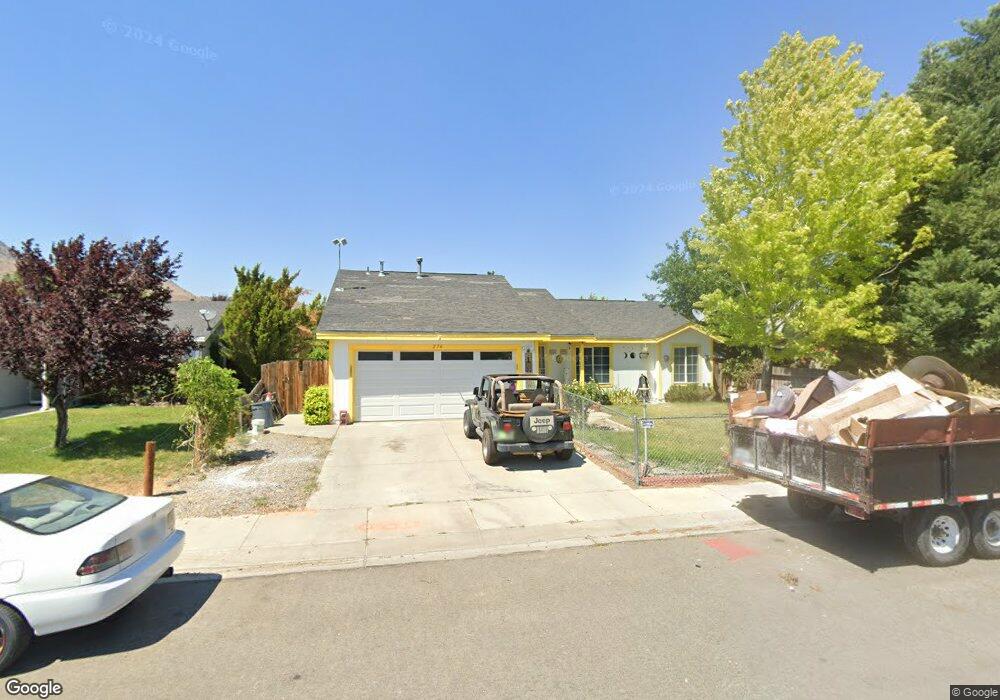
276 Monte Cristo Dr Dayton, NV 89403
Estimated Value: $373,000 - $382,000
3
Beds
2
Baths
1,227
Sq Ft
$308/Sq Ft
Est. Value
About This Home
This home is located at 276 Monte Cristo Dr, Dayton, NV 89403 and is currently estimated at $377,793, approximately $307 per square foot. 276 Monte Cristo Dr is a home located in Lyon County with nearby schools including Sutro Elementary School, Dayton Intermediate School, and Dayton High School.
Ownership History
Date
Name
Owned For
Owner Type
Purchase Details
Closed on
Jun 23, 2009
Sold by
Neep Scott S and Neep Rebecca J
Bought by
Rodrigues Krystal K and Rodrigues Cory
Current Estimated Value
Home Financials for this Owner
Home Financials are based on the most recent Mortgage that was taken out on this home.
Original Mortgage
$127,551
Outstanding Balance
$80,806
Interest Rate
4.82%
Mortgage Type
Purchase Money Mortgage
Estimated Equity
$296,987
Create a Home Valuation Report for This Property
The Home Valuation Report is an in-depth analysis detailing your home's value as well as a comparison with similar homes in the area
Home Values in the Area
Average Home Value in this Area
Purchase History
| Date | Buyer | Sale Price | Title Company |
|---|---|---|---|
| Rodrigues Krystal K | $125,000 | Western Title Company Llc |
Source: Public Records
Mortgage History
| Date | Status | Borrower | Loan Amount |
|---|---|---|---|
| Open | Rodrigues Krystal K | $127,551 |
Source: Public Records
Tax History Compared to Growth
Tax History
| Year | Tax Paid | Tax Assessment Tax Assessment Total Assessment is a certain percentage of the fair market value that is determined by local assessors to be the total taxable value of land and additions on the property. | Land | Improvement |
|---|---|---|---|---|
| 2025 | $1,491 | $103,052 | $57,750 | $45,302 |
| 2024 | $1,448 | $103,530 | $57,750 | $45,780 |
| 2023 | $1,448 | $100,758 | $57,750 | $43,008 |
| 2022 | $1,140 | $87,838 | $48,090 | $39,748 |
| 2021 | $1,107 | $82,679 | $43,785 | $38,894 |
| 2020 | $1,074 | $81,231 | $43,790 | $37,441 |
| 2019 | $1,043 | $65,385 | $29,190 | $36,195 |
| 2018 | $1,012 | $56,407 | $21,000 | $35,407 |
| 2017 | $983 | $49,500 | $14,000 | $35,500 |
| 2016 | $958 | $40,636 | $7,880 | $32,756 |
| 2015 | $956 | $32,063 | $7,880 | $24,183 |
| 2014 | $928 | $29,061 | $7,880 | $21,181 |
Source: Public Records
Map
Nearby Homes
- 298 Monte Cristo Dr
- 628 Rock Island Dr
- 300 Golden Pick Dr
- 539 Rawe Peak Dr
- 201 Crown Point Dr
- 463 Sheep Camp Dr
- 7017 Highway 50 Unit 61
- 467 Sheep Camp Dr
- 618 Union Rd
- 618 Union Rd Unit Lot 67
- 469 Sheep Camp Dr
- 470 Sheep Camp Dr
- 471 Sheep Camp Dr Unit Lot 139
- 473 Sheep Camp Dr Unit Lot 140
- 475 Sheep Camp Dr
- 475 Sheep Camp Dr Unit Lot 141
- WASHOE Plan at Amber Ridge
- YOSEMITE Plan at Amber Ridge
- TAHOE Plan at Amber Ridge
- TOPAZ Plan at Amber Ridge
- 274 Monte Cristo Dr
- 501 Santiago Way
- 503 Santiago Way
- 417 Sheep Camp Dr
- 272 Monte Cristo Dr
- 419 Sheep Camp Dr
- 505 Santiago Way
- 277 Monte Cristo Dr
- 421 Sheep Camp Dr
- 279 Monte Cristo Dr
- 275 Monte Cristo Dr
- 270 Monte Cristo Dr
- 281 Monte Cristo Dr
- 273 Monte Cristo Dr
- 423 Sheep Camp Dr
- 423 Sheepcamp Dr
- 500 Santiago Way
- 502 Santiago Way
- 283 Monte Cristo Dr
- 268 Monte Cristo Dr