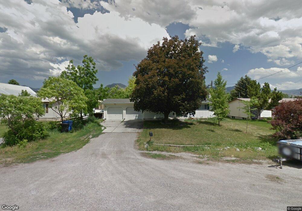
276 S 300 W Smithfield, UT 84335
Estimated Value: $454,000 - $575,000
8
Beds
3
Baths
3,382
Sq Ft
$152/Sq Ft
Est. Value
About This Home
This home is located at 276 S 300 W, Smithfield, UT 84335 and is currently estimated at $514,423, approximately $152 per square foot. 276 S 300 W is a home located in Cache County with nearby schools including Summit School, Cedar Ridge School, and North Cache Middle School.
Ownership History
Date
Name
Owned For
Owner Type
Purchase Details
Closed on
Feb 19, 2026
Sold by
Bitter David C and Bitter Brenda
Bought by
David And Brenda Bitter Living Trust and Bitter
Current Estimated Value
Purchase Details
Closed on
Aug 9, 2017
Sold by
Bitter David C
Bought by
Bitter David C and Bitter Brenda
Home Financials for this Owner
Home Financials are based on the most recent Mortgage that was taken out on this home.
Original Mortgage
$110,000
Interest Rate
4.03%
Mortgage Type
New Conventional
Purchase Details
Closed on
May 27, 2011
Sold by
Bitter David C and Bitter Tracy R
Bought by
Bitter David C
Purchase Details
Closed on
Mar 20, 2002
Sold by
Bitter David Cory and Bitter Tracy Renee Barton
Bought by
Bitter David C and Bitter Tracy R
Home Financials for this Owner
Home Financials are based on the most recent Mortgage that was taken out on this home.
Original Mortgage
$91,968
Interest Rate
6.85%
Create a Home Valuation Report for This Property
The Home Valuation Report is an in-depth analysis detailing your home's value as well as a comparison with similar homes in the area
Home Values in the Area
Average Home Value in this Area
Purchase History
| Date | Buyer | Sale Price | Title Company |
|---|---|---|---|
| David And Brenda Bitter Living Trust | -- | None Listed On Document | |
| Bitter David C | -- | None Available | |
| Bitter David C | -- | Hickman Land Title Company | |
| Bitter David C | -- | Northern Title Company |
Source: Public Records
Mortgage History
| Date | Status | Borrower | Loan Amount |
|---|---|---|---|
| Previous Owner | Bitter David C | $110,000 | |
| Previous Owner | Bitter David C | $91,968 |
Source: Public Records
Tax History
| Year | Tax Paid | Tax Assessment Tax Assessment Total Assessment is a certain percentage of the fair market value that is determined by local assessors to be the total taxable value of land and additions on the property. | Land | Improvement |
|---|---|---|---|---|
| 2025 | $1,994 | $266,885 | $0 | $0 |
| 2024 | $1,912 | $240,160 | $0 | $0 |
| 2023 | $1,996 | $237,045 | $0 | $0 |
| 2022 | $2,029 | $237,045 | $0 | $0 |
| 2021 | $1,954 | $348,840 | $75,000 | $273,840 |
| 2020 | $1,821 | $303,200 | $75,000 | $228,200 |
| 2019 | $1,662 | $263,850 | $50,250 | $213,600 |
| 2018 | $1,405 | $215,786 | $50,250 | $165,536 |
| 2017 | $1,299 | $108,930 | $0 | $0 |
| 2016 | $1,322 | $108,930 | $0 | $0 |
| 2015 | $1,327 | $108,930 | $0 | $0 |
| 2014 | $1,135 | $94,985 | $0 | $0 |
| 2013 | -- | $94,985 | $0 | $0 |
Source: Public Records
Map
Nearby Homes
Your Personal Tour Guide
Ask me questions while you tour the home.