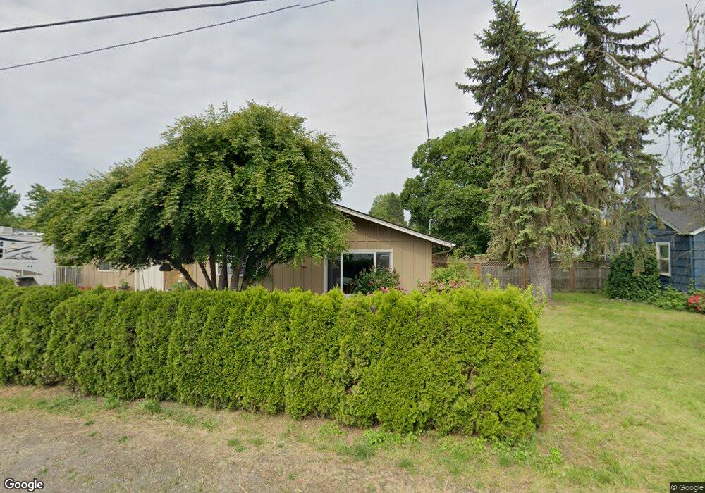
2760 Stark St Eugene, OR 97404
Santa Clara NeighborhoodEstimated Value: $404,000 - $430,000
3
Beds
2
Baths
1,361
Sq Ft
$310/Sq Ft
Est. Value
About This Home
This home is located at 2760 Stark St, Eugene, OR 97404 and is currently estimated at $421,413, approximately $309 per square foot. 2760 Stark St is a home located in Lane County with nearby schools including Spring Creek Elementary School, Madison Middle School, and North Eugene High School.
Ownership History
Date
Name
Owned For
Owner Type
Purchase Details
Closed on
Jun 13, 2012
Sold by
Krausz Larissa A and Platt Larissa A
Bought by
Krausz Larissa A
Current Estimated Value
Home Financials for this Owner
Home Financials are based on the most recent Mortgage that was taken out on this home.
Original Mortgage
$122,000
Outstanding Balance
$84,090
Interest Rate
3.79%
Mortgage Type
New Conventional
Estimated Equity
$337,323
Purchase Details
Closed on
Feb 3, 2004
Sold by
Chastain Thomas L and Chastain Becky J
Bought by
Platt Larissa A
Home Financials for this Owner
Home Financials are based on the most recent Mortgage that was taken out on this home.
Original Mortgage
$100,000
Interest Rate
5.82%
Mortgage Type
Purchase Money Mortgage
Create a Home Valuation Report for This Property
The Home Valuation Report is an in-depth analysis detailing your home's value as well as a comparison with similar homes in the area
Home Values in the Area
Average Home Value in this Area
Purchase History
| Date | Buyer | Sale Price | Title Company |
|---|---|---|---|
| Krausz Larissa A | -- | First American Title | |
| Platt Larissa A | $162,500 | Western Pioneer Title Co |
Source: Public Records
Mortgage History
| Date | Status | Borrower | Loan Amount |
|---|---|---|---|
| Open | Krausz Larissa A | $122,000 | |
| Closed | Platt Larissa A | $100,000 |
Source: Public Records
Tax History
| Year | Tax Paid | Tax Assessment Tax Assessment Total Assessment is a certain percentage of the fair market value that is determined by local assessors to be the total taxable value of land and additions on the property. | Land | Improvement |
|---|---|---|---|---|
| 2025 | $2,955 | $230,902 | -- | -- |
| 2024 | $2,940 | $224,177 | -- | -- |
| 2023 | $2,940 | $217,648 | -- | -- |
| 2022 | $2,763 | $211,309 | $0 | $0 |
| 2021 | $2,535 | $205,155 | $0 | $0 |
| 2020 | $2,583 | $199,180 | $0 | $0 |
| 2019 | $2,464 | $193,379 | $0 | $0 |
| 2018 | $2,195 | $182,279 | $0 | $0 |
| 2017 | $2,032 | $182,279 | $0 | $0 |
| 2016 | $1,920 | $176,970 | $0 | $0 |
| 2015 | $1,854 | $171,816 | $0 | $0 |
| 2014 | $1,740 | $166,812 | $0 | $0 |
Source: Public Records
Map
Nearby Homes
- 805 Impala Ave
- 2721 La Darrah St
- 2563 York St
- 2987 Dry Creek Rd
- 541 Durham Ave
- 2488 Northampton
- 2965 Teal Place
- 349 Irving Rd
- 2418 Kalmia St
- 2931 Shelby Way
- 3256 Marvin Dr
- 2610 Crowther Dr
- 2580 Crowther Dr
- 1256 Frogs Leap Ln
- 1265 Napa Creek Dr
- 200 Irving Rd
- 303 Lenore Loop
- 374 Blackfoot Ave
- 215 Jonquil Ave
- 193 Santa Clara Ave
- 2782 Stark St
- 2786 Stark St
- 2769 Stark St
- 2751 Stark St
- 2741 Stark St
- 2790 Alyndale Dr
- 2788 Stark St
- 0 Stark St Unit 2002207
- 2794 Stark St
- 2792 Stark St
- 2768 Alyndale Dr
- 2756 Alyndale Dr
- 2733 Stark St
- 2790 Stark St
- 2780 Alyndale Dr
- 2801 Maesner St
- 2797 Alyndale Dr
- 2744 Alyndale Dr
- 2824 Stark St
- 2813 Maesner St
Your Personal Tour Guide
Ask me questions while you tour the home.