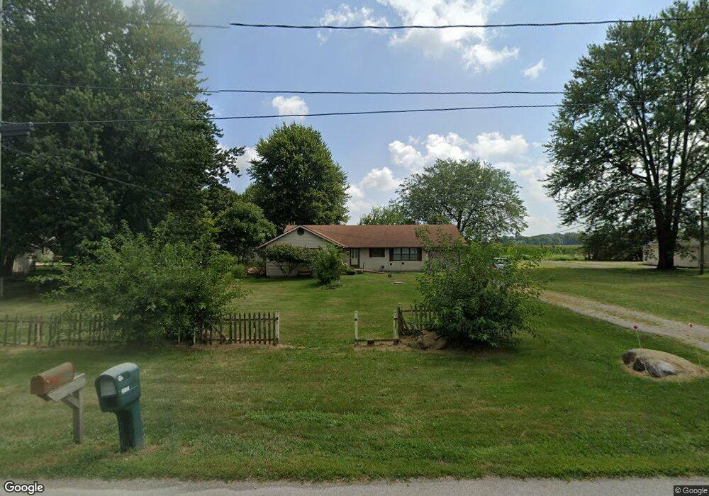
27601 State Route 31 Raymond, OH 43067
Estimated Value: $201,000 - $304,000
3
Beds
2
Baths
1,744
Sq Ft
$148/Sq Ft
Est. Value
About This Home
This home is located at 27601 State Route 31, Raymond, OH 43067 and is currently estimated at $257,512, approximately $147 per square foot. 27601 State Route 31 is a home located in Union County with nearby schools including North Union Elementary School, North Union Middle School, and North Union High School.
Ownership History
Date
Name
Owned For
Owner Type
Purchase Details
Closed on
Mar 25, 2003
Sold by
Countrywide Home Loans Inc
Bought by
Dorst Delmar Donald and Dorst Mary Kathryn
Current Estimated Value
Home Financials for this Owner
Home Financials are based on the most recent Mortgage that was taken out on this home.
Original Mortgage
$98,455
Outstanding Balance
$42,511
Interest Rate
5.94%
Mortgage Type
FHA
Estimated Equity
$215,001
Purchase Details
Closed on
Dec 17, 2002
Sold by
Cruea Kurt O and Cruea Heather
Bought by
Countrywide Home Loans Inc
Create a Home Valuation Report for This Property
The Home Valuation Report is an in-depth analysis detailing your home's value as well as a comparison with similar homes in the area
Home Values in the Area
Average Home Value in this Area
Purchase History
| Date | Buyer | Sale Price | Title Company |
|---|---|---|---|
| Dorst Delmar Donald | $100,000 | -- | |
| Countrywide Home Loans Inc | $83,000 | -- |
Source: Public Records
Mortgage History
| Date | Status | Borrower | Loan Amount |
|---|---|---|---|
| Open | Dorst Delmar Donald | $98,455 |
Source: Public Records
Tax History Compared to Growth
Tax History
| Year | Tax Paid | Tax Assessment Tax Assessment Total Assessment is a certain percentage of the fair market value that is determined by local assessors to be the total taxable value of land and additions on the property. | Land | Improvement |
|---|---|---|---|---|
| 2024 | $2,055 | $58,630 | $12,030 | $46,600 |
| 2023 | $2,055 | $58,630 | $12,030 | $46,600 |
| 2022 | $2,066 | $58,630 | $12,030 | $46,600 |
| 2021 | $1,611 | $44,230 | $9,270 | $34,960 |
| 2020 | $1,609 | $44,230 | $9,270 | $34,960 |
| 2019 | $1,619 | $44,230 | $9,270 | $34,960 |
| 2018 | $1,793 | $47,070 | $9,270 | $37,800 |
| 2017 | $1,634 | $47,070 | $9,270 | $37,800 |
| 2016 | $1,654 | $47,070 | $9,270 | $37,800 |
| 2015 | $1,320 | $38,270 | $9,270 | $29,000 |
| 2014 | $1,332 | $38,270 | $9,270 | $29,000 |
| 2013 | $1,351 | $38,270 | $9,270 | $29,000 |
Source: Public Records
Map
Nearby Homes
- 19250 Powder Lick Rd
- 25875 Ohio 31
- 18055 Miller Rd
- 28370 State Route 739
- 30650 State Route 739
- 27770 Zook Rd
- 27900 Zook Rd
- 31434 State Route 31
- 31535 State Route 31
- 25400 Storms Rd
- 15301 Gandy Eddy Rd
- 15275 Boundary Rd
- 0 Ohio 31
- 0 Powder Lick Rd Unit 1016484
- 0 Richwood Miller Rd Unit 225033397
- 1299 Forest Edge Dr
- 1322 Forest Edge Dr
- 32220 State Route 31
- 21630 Main St
- 32675 Winnemac Rd
- 27611 Ohio 31
- 27644 State Route 31
- 27644 Ohio 31
- 27611 State Route 31
- 27586 State Route 31
- 18431 State Route 47
- 27597 Ohio 31
- 18511 State Route 47
- 27556 State Route 31
- 18450 State Route 47
- 18403 State Route 47
- 27633 State Route 31
- 18557 State Route 47
- 18400 State Route 47
- 27710 State Route 31
- 27701 State Route 31
- 18376 State Route 47
- 27729 State Route 31
- 27480 State Route 31
- 27762 State Route 31