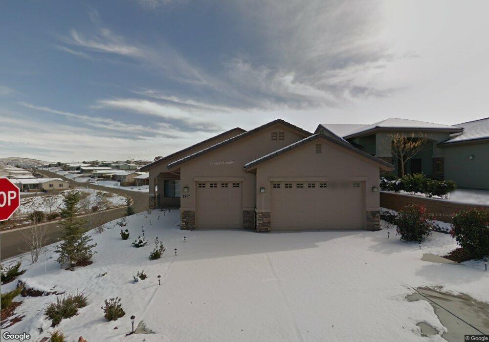
2761 Brooks Range Prescott, AZ 86301
Estimated Value: $563,000 - $672,000
3
Beds
2
Baths
1,774
Sq Ft
$343/Sq Ft
Est. Value
About This Home
This home is located at 2761 Brooks Range, Prescott, AZ 86301 and is currently estimated at $608,179, approximately $342 per square foot. 2761 Brooks Range is a home located in Yavapai County with nearby schools including Granite Mountain Middle School, Abia Judd Elementary School, and Prescott Mile High Middle School.
Ownership History
Date
Name
Owned For
Owner Type
Purchase Details
Closed on
Aug 31, 2015
Sold by
Barkwill Daniel K and Barkwill Cheryle S
Bought by
Daniel K & Cheryle S Barkwill Trust
Current Estimated Value
Purchase Details
Closed on
Sep 29, 2008
Sold by
Willow Lake Investments Llc
Bought by
Barkwill Daniel K and Barkwill Cheryle S
Home Financials for this Owner
Home Financials are based on the most recent Mortgage that was taken out on this home.
Original Mortgage
$240,000
Outstanding Balance
$157,982
Interest Rate
6.39%
Mortgage Type
New Conventional
Estimated Equity
$450,197
Create a Home Valuation Report for This Property
The Home Valuation Report is an in-depth analysis detailing your home's value as well as a comparison with similar homes in the area
Purchase History
| Date | Buyer | Sale Price | Title Company |
|---|---|---|---|
| Daniel K & Cheryle S Barkwill Trust | -- | None Available | |
| Barkwill Daniel K | $300,045 | Lawyers Title Insurance Corp |
Source: Public Records
Mortgage History
| Date | Status | Borrower | Loan Amount |
|---|---|---|---|
| Open | Barkwill Daniel K | $240,000 |
Source: Public Records
Tax History
| Year | Tax Paid | Tax Assessment Tax Assessment Total Assessment is a certain percentage of the fair market value that is determined by local assessors to be the total taxable value of land and additions on the property. | Land | Improvement |
|---|---|---|---|---|
| 2026 | $1,452 | $45,468 | -- | -- |
| 2024 | $1,421 | $48,157 | -- | -- |
| 2023 | $1,421 | $38,996 | $8,230 | $30,766 |
| 2022 | $1,401 | $32,610 | $6,817 | $25,793 |
| 2021 | $1,504 | $31,353 | $5,184 | $26,169 |
| 2020 | $1,510 | $0 | $0 | $0 |
| 2019 | $1,500 | $0 | $0 | $0 |
| 2018 | $1,433 | $0 | $0 | $0 |
| 2017 | $1,381 | $0 | $0 | $0 |
| 2016 | $1,375 | $0 | $0 | $0 |
| 2015 | $1,333 | $0 | $0 | $0 |
| 2014 | -- | $0 | $0 | $0 |
Source: Public Records
Map
Nearby Homes
- 1042 Louie St
- 1007 Craftsman Dr
- 968 Louie St
- 5919 W Cir
- 6053 W Vesta (Lot 263) Cir
- 5880 W Vesta (Lot 252) Cir
- 5909 W Cedron (Lot 276) Cir
- 6033 W Vesta (Lot 262) Cir
- 5928 W Cedron (Lot 265) Cir
- 1031 Craftsman Dr Unit 12
- 3096 Adobe Springs Dr
- 865 Crystal View Dr
- 1295 Lago Vista
- 3144 Trail Walk
- 3170 Trail Walk
- 1145 Trinity Ct
- 806 Hoosier Pass
- 1751 Ascott St
- 869 Mines Pass
- 1215 Willow Lake Rd
- 2763 Brooks Range
- 2759 Brooks Range
- 2765 Brooks Range
- 2767 Brooks Range
- 2757 Brooks Range
- 1076 Louie St
- 2769 Brooks Range
- 1064 Louie St
- 2755 Brooks Range
- 1040 Louie St
- 1052 Louie St
- 3085 Portside Dr
- 2771 Brooks Range
- 1077 Bridgewater Dr
- 3050 Portside Dr
- 3077 Portside Dr
- 2753 Brooks Range
- 1067 Bridgewater Dr
- Lots 2-5 Lonesome Hawk Dr Unit 2-5
- Lots 2-5 Lonesome Hawk Dr
Your Personal Tour Guide
Ask me questions while you tour the home.