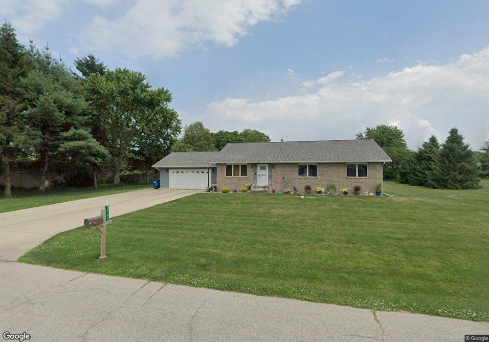
2761 S 350 W La Porte, IN 46350
Estimated Value: $316,466 - $384,000
3
Beds
2
Baths
1,632
Sq Ft
$218/Sq Ft
Est. Value
About This Home
This home is located at 2761 S 350 W, La Porte, IN 46350 and is currently estimated at $356,117, approximately $218 per square foot. 2761 S 350 W is a home located in LaPorte County with nearby schools including La Porte High School, Kingsbury Elementary School, and Kesling Intermediate School.
Ownership History
Date
Name
Owned For
Owner Type
Purchase Details
Closed on
Mar 13, 2012
Sold by
Fisher Raeanne
Bought by
Fisher Harry L
Current Estimated Value
Purchase Details
Closed on
Jun 30, 2005
Sold by
Winter John H
Bought by
Fisher Harry L and Fisher Raeanne
Home Financials for this Owner
Home Financials are based on the most recent Mortgage that was taken out on this home.
Original Mortgage
$121,600
Outstanding Balance
$64,295
Interest Rate
5.86%
Mortgage Type
Fannie Mae Freddie Mac
Estimated Equity
$291,822
Create a Home Valuation Report for This Property
The Home Valuation Report is an in-depth analysis detailing your home's value as well as a comparison with similar homes in the area
Home Values in the Area
Average Home Value in this Area
Purchase History
| Date | Buyer | Sale Price | Title Company |
|---|---|---|---|
| Fisher Harry L | -- | Meridian Title Corp | |
| Fisher Harry L | -- | -- |
Source: Public Records
Mortgage History
| Date | Status | Borrower | Loan Amount |
|---|---|---|---|
| Open | Fisher Harry L | $121,600 |
Source: Public Records
Tax History Compared to Growth
Tax History
| Year | Tax Paid | Tax Assessment Tax Assessment Total Assessment is a certain percentage of the fair market value that is determined by local assessors to be the total taxable value of land and additions on the property. | Land | Improvement |
|---|---|---|---|---|
| 2024 | $1,723 | $212,900 | $35,900 | $177,000 |
| 2023 | $1,644 | $208,700 | $35,900 | $172,800 |
| 2022 | $1,596 | $199,000 | $24,500 | $174,500 |
| 2021 | $1,453 | $184,400 | $24,500 | $159,900 |
| 2020 | $1,365 | $184,400 | $24,500 | $159,900 |
| 2019 | $1,618 | $173,300 | $24,500 | $148,800 |
| 2018 | $1,470 | $159,900 | $24,500 | $135,400 |
| 2017 | $1,396 | $157,200 | $26,100 | $131,100 |
| 2016 | $1,319 | $156,800 | $26,100 | $130,700 |
| 2014 | $1,299 | $170,200 | $26,200 | $144,000 |
Source: Public Records
Map
Nearby Homes
- 2261 W Joliet Rd
- 1009 S Redbud Dr
- 2183 W Oak St
- 2425 W 18th St
- 1111 S 500 W
- 1139 S 500 W
- 54 Victoria Cir
- 694 S Maple Leaf Ln
- 2241 W Saint Road 2
- 52 Victoria Cir
- 1105 W 18th St
- 1409 Andrew Ave
- 306 Willow Bend Dr
- 101 Miller St
- 104 Hedge Ct
- 3866 W Pawnee Dr
- 746 (lot43) E Eagle Flight Ln
- 826 Kingsporte Ave
- 502 Circle Dr
- 1527 5th St
- 2757 S 350 W
- 2765 S 350 W
- 2772 S 350 W
- 2743 S 350 W
- 2769 S 350 W
- 2774 S 350 W
- 3223 Smithfield Ln
- 2744 S 350 W
- 3211 Smithfield Ln
- 2693 S 350 W
- 26 Smithfield Ln
- 27 Smithfield Ln
- 7 Smithfield Ln
- 0-27 Smithfield Ln
- 0-6 Smithfield Ln
- 0-24 Smithfield Ln
- 0-5 Smithfield Ln
- 0-8 Smithfield Ln
- 0-26 Smithfield Ln
- 0-29 Smithfield Ln