Estimated Value: $392,000 - $485,000
--
Bed
1
Bath
2,531
Sq Ft
$178/Sq Ft
Est. Value
About This Home
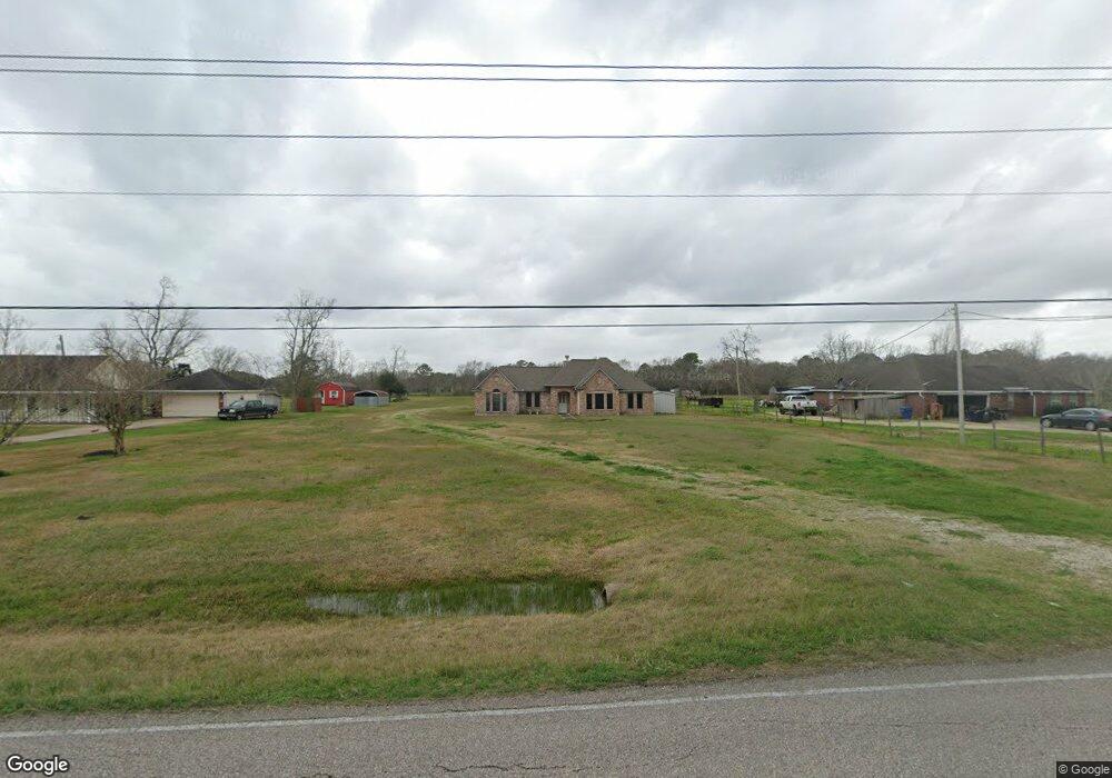
This home is located at 2762 County Road 719, Alvin, TX 77511 and is currently estimated at $451,754, approximately $178 per square foot. 2762 County Road 719 is a home located in Brazoria County with nearby schools including R.L. Stevenson Primary School, Alvin Junior High School, and Alvin High School.
Ownership History
Date
Name
Owned For
Owner Type
Purchase Details
Closed on
Nov 12, 2015
Sold by
Reed Jay Lynn
Bought by
Reed John R
Current Estimated Value
Purchase Details
Closed on
Jun 16, 1999
Sold by
Reynolds Michael
Bought by
Defilipps Patricia J
Home Financials for this Owner
Home Financials are based on the most recent Mortgage that was taken out on this home.
Original Mortgage
$75,000
Interest Rate
7.02%
Create a Home Valuation Report for This Property
The Home Valuation Report is an in-depth analysis detailing your home's value as well as a comparison with similar homes in the area
Home Values in the Area
Average Home Value in this Area
Purchase History
| Date | Buyer | Sale Price | Title Company |
|---|---|---|---|
| Reed John R | -- | None Available | |
| Defilipps Patricia J | -- | Alamo Title 4 |
Source: Public Records
Mortgage History
| Date | Status | Borrower | Loan Amount |
|---|---|---|---|
| Previous Owner | Defilipps Patricia J | $75,000 |
Source: Public Records
Tax History Compared to Growth
Tax History
| Year | Tax Paid | Tax Assessment Tax Assessment Total Assessment is a certain percentage of the fair market value that is determined by local assessors to be the total taxable value of land and additions on the property. | Land | Improvement |
|---|---|---|---|---|
| 2025 | $1,531 | $382,130 | $131,310 | $279,450 |
| 2023 | $1,531 | $315,810 | $170,710 | $260,780 |
| 2022 | $6,117 | $287,100 | $170,710 | $260,780 |
| 2021 | $5,792 | $261,000 | $81,980 | $179,020 |
| 2020 | $5,505 | $244,800 | $81,980 | $162,820 |
| 2019 | $5,811 | $251,000 | $59,460 | $191,540 |
| 2018 | $5,551 | $239,180 | $59,460 | $179,720 |
| 2017 | $5,300 | $271,910 | $62,160 | $209,750 |
| 2016 | $4,818 | $247,200 | $51,580 | $195,620 |
| 2015 | $2,454 | $186,460 | $51,580 | $134,880 |
| 2014 | $2,454 | $171,470 | $51,580 | $119,890 |
Source: Public Records
Map
Nearby Homes
- 2234 County Road 155
- 1009 Bluegill Ln
- 1017 Bluegill Ln
- 1010 Bluegill Ln
- 1016 Bluegill Ln
- 1655 E South St
- 2518 County Road 160
- 3610 E Highway 6
- 3150 E Highway 6
- 1021 Bluegill Dr
- 1016 Bluegill Dr
- Estero Plan at Watermark
- Franklin Plan at Watermark
- Barton Plan at Watermark
- Davis Plan at Watermark
- Caprock Plan at Watermark
- Atlanta Plan at Watermark
- 1024 Bluegill Ln
- 1018 Bluegill Ln
- 1004 Great Barracuda Ln
- 2840 County Road 719
- 2738 County Road 719
- 2714 County Road 719
- 2846 County Road 719
- 2425 County Road 155
- 2425 Cr 155
- 2688 County Road 719
- 2821 County Road 719
- 2878 County Road 719
- 2687 County Road 719
- 2381 County Road 155
- 2670 County Road 719
- 2216 Five Point Rd Cr 155
- 5195 Latigo Ct
- 5298 Latigo Ct
- 2748 County Road 500
- 2513 County Road 155
- 2748 Cr 500
- 2145 County Road 155
- 2749 County Road 500