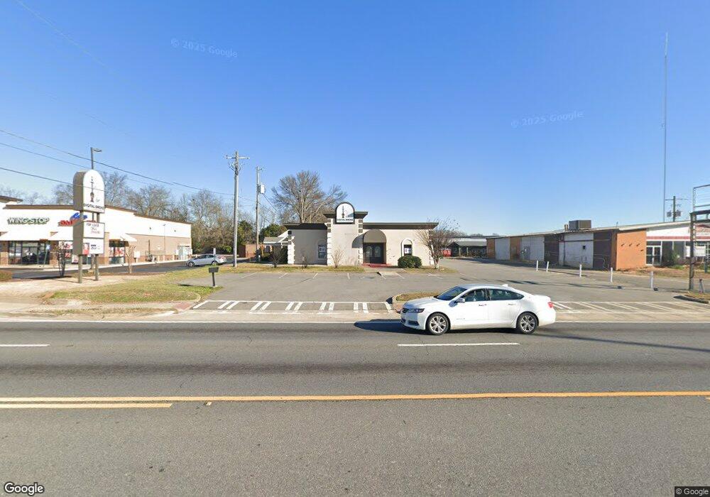
2762 Watson Blvd Centerville, GA 31028
--
Bed
--
Bath
3,855
Sq Ft
0.51
Acres Lot
About This Home
This home is located at 2762 Watson Blvd, Centerville, GA 31028. 2762 Watson Blvd is a home located in Houston County with nearby schools including Centerville Elementary School, Thomson Middle School, and Northside High School.
Create a Home Valuation Report for This Property
The Home Valuation Report is an in-depth analysis detailing your home's value as well as a comparison with similar homes in the area
Home Values in the Area
Average Home Value in this Area
Tax History
| Year | Tax Paid | Tax Assessment Tax Assessment Total Assessment is a certain percentage of the fair market value that is determined by local assessors to be the total taxable value of land and additions on the property. | Land | Improvement |
|---|---|---|---|---|
| 2024 | $5,080 | $212,360 | $97,000 | $115,360 |
| 2023 | $5,127 | $212,120 | $97,000 | $115,120 |
| 2022 | $4,488 | $185,680 | $70,560 | $115,120 |
| 2021 | $4,544 | $185,680 | $70,560 | $115,120 |
| 2020 | $4,544 | $185,680 | $70,560 | $115,120 |
| 2019 | $4,544 | $185,680 | $70,560 | $115,120 |
| 2018 | $0 | $185,680 | $70,560 | $115,120 |
| 2017 | $0 | $167,440 | $70,560 | $96,880 |
| 2016 | $1,727 | $167,440 | $70,560 | $96,880 |
| 2015 | -- | $167,440 | $70,560 | $96,880 |
| 2014 | -- | $167,440 | $70,560 | $96,880 |
| 2013 | -- | $167,440 | $70,560 | $96,880 |
Source: Public Records
Map
Nearby Homes
- 419 Sentry Oaks Dr
- 419 Sentry Oak Dr
- 201 Davis Dr
- 123 S Amanda Place
- 109 Creek Bluff Trail
- 108 Madison Ave
- 208 Bassett St
- 707 Wilmington Dr
- 101 Manchester Ct
- 108 Chantilly Dr
- 112 Holt Ave
- 106 Hampstead Ct
- 208 Antler Trail
- 111 Montrose Ln
- 103 Westoak Ct
- 209 Knodishall Dr
- 132 Montrose Ln
- 87 Park Ln
- 102 Lee St Unit 117 Wilson Drive
- 102 Lee St
- 106 David Terrace
- 2801 Watson Blvd Unit Suite B
- 2801 Watson Blvd Unit Suite A
- 2801 Watson Blvd
- 104 David Terrace
- 102 David Terrace
- 102 Collins Ave
- 107 David Terrace
- 104 Collins Ave
- 105 David Terrace
- 103 David Terrace
- 104 Shannon Ln
- 106 Shannon Ln
- 301 Robins West Pkwy
- 108 Shannon Ln
- 102 Shannon Ln
- 101 David Terrace
- 105 Collins Ave
- 110 Shannon Ln
- 100 Shannon Ln
Your Personal Tour Guide
Ask me questions while you tour the home.