2763 Highline Rd Chewelah, WA 99109
Estimated Value: $544,000
3
Beds
3
Baths
1,056
Sq Ft
$515/Sq Ft
Est. Value
About This Home
This home is located at 2763 Highline Rd, Chewelah, WA 99109 and is currently estimated at $544,000, approximately $515 per square foot. 2763 Highline Rd is a home located in Stevens County with nearby schools including Gess Elementary School and Jenkins Junior/Senior High School.
Ownership History
Date
Name
Owned For
Owner Type
Purchase Details
Closed on
Jun 12, 2013
Sold by
Thornton Charles Howard
Bought by
Thornton Charles Howard and Charles Howard & Florence Jean Thornton
Current Estimated Value
Home Financials for this Owner
Home Financials are based on the most recent Mortgage that was taken out on this home.
Original Mortgage
$258,300
Interest Rate
3.48%
Mortgage Type
VA
Create a Home Valuation Report for This Property
The Home Valuation Report is an in-depth analysis detailing your home's value as well as a comparison with similar homes in the area
Home Values in the Area
Average Home Value in this Area
Purchase History
| Date | Buyer | Sale Price | Title Company |
|---|---|---|---|
| Thornton Charles Howard | -- | Stevens County Title Company |
Source: Public Records
Mortgage History
| Date | Status | Borrower | Loan Amount |
|---|---|---|---|
| Closed | Thornton Charles Howard | $258,300 |
Source: Public Records
Tax History Compared to Growth
Tax History
| Year | Tax Paid | Tax Assessment Tax Assessment Total Assessment is a certain percentage of the fair market value that is determined by local assessors to be the total taxable value of land and additions on the property. | Land | Improvement |
|---|---|---|---|---|
| 2024 | $2,088 | $278,411 | $6,153 | $272,258 |
| 2023 | $1,931 | $296,222 | $50,000 | $246,222 |
| 2022 | $1,935 | $277,998 | $50,000 | $227,998 |
| 2021 | $2,007 | $219,746 | $3,122 | $216,624 |
| 2020 | $2,035 | $219,746 | $3,122 | $216,624 |
| 2019 | $1,768 | $210,162 | $3,102 | $207,060 |
| 2018 | $2,130 | $184,845 | $3,089 | $181,756 |
| 2017 | $1,969 | $204,579 | $3,089 | $201,490 |
| 2016 | $1,868 | $204,566 | $3,076 | $201,490 |
| 2015 | $1,909 | $204,533 | $3,043 | $201,490 |
| 2013 | -- | $204,520 | $3,030 | $201,490 |
Source: Public Records
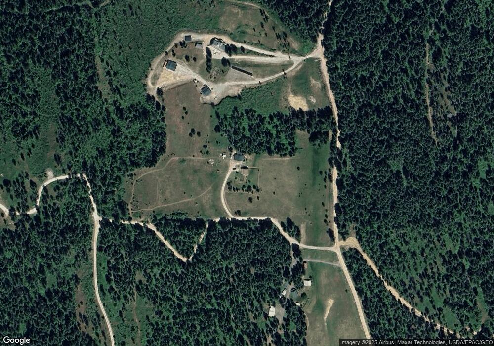
Map
Nearby Homes
- 2633 Highline Rd
- 2559F United Copper Mine Rd
- 26XX Sand Canyon Lot 2 Rd
- 2559 United Copper Mine Rd
- 3033 Major Rd
- 102 Trappers Loop W
- 203 Eagle Dr
- 183 E Trappers Loop
- 207 Eagle Dr
- 102 SW Trappers Loop
- 2443 Eagle Lambert Rd
- 231 Hogans Way
- 268 Eagle Dr
- 250 Hogans Way
- Lot 12 Hogans Way
- 2367 Morse Way
- XXX Couples Ct
- LOT 23 Couples Ct
- 4XX Couples Ct
- 0 5xx Couples Ct
- 2763 Highline Rd
- 2763 Highline Rd
- 2743 Highline Rd
- 2744 Highline Rd
- 2739 Highline Rd
- 2783 Highline Rd
- 2726 Highline Rd
- 2710 Highline Rd
- 2691 Highline Rd
- 26XX Highline Rd
- 2692 Highline Rd
- 2677 Highline Rd
- XXX Kaniksu Rd
- LOT 26 Palmer Ln
- 000 Palmer Ln
- lot 24 Couples Ct
- 000 Kanisku Rd
- 0000 Ridge St
- 000 N Hunt St
- 000 E Snead Drive Lot 20