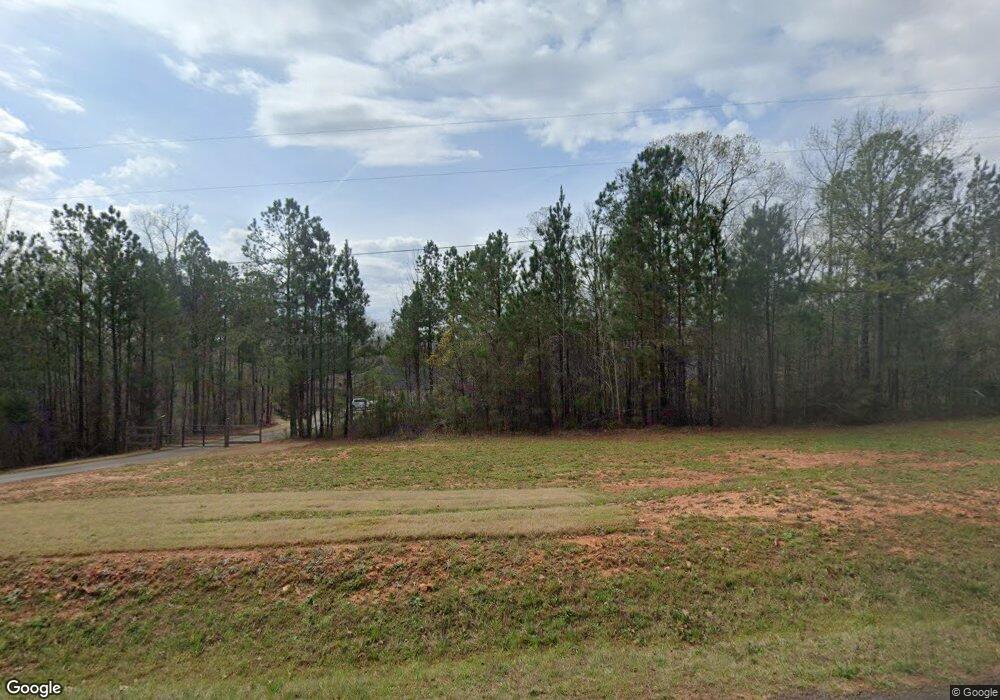
2764 Boxankle Rd Forsyth, GA 31029
Estimated Value: $234,000 - $400,000
3
Beds
4
Baths
1,650
Sq Ft
$203/Sq Ft
Est. Value
About This Home
This home is located at 2764 Boxankle Rd, Forsyth, GA 31029 and is currently estimated at $335,511, approximately $203 per square foot. 2764 Boxankle Rd is a home located in Monroe County with nearby schools including Samuel E. Hubbard Elementary School and Mary Persons High School.
Ownership History
Date
Name
Owned For
Owner Type
Purchase Details
Closed on
Aug 25, 2025
Sold by
Duncan Cameron
Bought by
Meredith Homes Inc
Current Estimated Value
Home Financials for this Owner
Home Financials are based on the most recent Mortgage that was taken out on this home.
Original Mortgage
$250,000
Outstanding Balance
$229,802
Interest Rate
6.74%
Mortgage Type
New Conventional
Estimated Equity
$105,709
Purchase Details
Closed on
Sep 28, 2017
Sold by
Brown Michael C
Bought by
Duncan Cameron
Purchase Details
Closed on
Sep 23, 2014
Sold by
Alan Gibbs Inc
Bought by
Brown Michael C
Purchase Details
Closed on
Mar 22, 2005
Sold by
River Forest Inc
Bought by
Southern Timber Co
Create a Home Valuation Report for This Property
The Home Valuation Report is an in-depth analysis detailing your home's value as well as a comparison with similar homes in the area
Home Values in the Area
Average Home Value in this Area
Purchase History
| Date | Buyer | Sale Price | Title Company |
|---|---|---|---|
| Meredith Homes Inc | $80,000 | -- | |
| Duncan Cameron | $24,000 | -- | |
| Brown Michael C | $15,000 | -- | |
| Southern Timber Co | $245,000 | -- |
Source: Public Records
Mortgage History
| Date | Status | Borrower | Loan Amount |
|---|---|---|---|
| Open | Meredith Homes Inc | $250,000 |
Source: Public Records
Tax History Compared to Growth
Tax History
| Year | Tax Paid | Tax Assessment Tax Assessment Total Assessment is a certain percentage of the fair market value that is determined by local assessors to be the total taxable value of land and additions on the property. | Land | Improvement |
|---|---|---|---|---|
| 2024 | $3,279 | $116,480 | $14,000 | $102,480 |
| 2023 | $3,147 | $99,400 | $14,000 | $85,400 |
| 2022 | $2,691 | $99,400 | $14,000 | $85,400 |
| 2021 | $2,786 | $99,400 | $14,000 | $85,400 |
| 2020 | $2,016 | $70,160 | $9,800 | $60,360 |
| 2019 | $2,032 | $70,160 | $9,800 | $60,360 |
| 2018 | $279 | $9,800 | $9,800 | $0 |
| 2017 | $228 | $7,840 | $7,840 | $0 |
| 2016 | $217 | $7,840 | $7,840 | $0 |
| 2015 | $52 | $7,840 | $7,840 | $0 |
| 2014 | $198 | $7,840 | $7,840 | $0 |
Source: Public Records
Map
Nearby Homes
- 2754 Boxankle Rd
- 130 Heights Ave
- 120 Heights Ave
- 200 Crescent Dr
- 2760 Boxankle Rd
- 104 Piedmont Cir
- 217 Crescent Dr
- 415 Forest Pointe Dr
- 111 Piedmont Cir
- 108/106 Crescent Dr
- 212 Crescent Dr
- 206 Crescent Dr
- 214 Crescent Dr
- 106 Crescent Dr
- 615 Forest Pointe Dr
- 2489 Boxankle Rd
- 100 Ridge Way
- 401 Towaliga Trail
- 104 Chase Ln
- 114 Tee Dr
- 106 Heights Ave
- 112 Heights Ave
- 2786 Boxankle Rd
- 107 Heights Ave
- 2748 Boxankle Rd
- 105 Heights Ave
- 2725 Boxankle Rd
- 103 Heights Ave
- 102 & 104 Heights Ave
- 108 Heights Ave
- 110 Heights Ave
- 113 Heights Ave
- 111 Heights Ave
- 122 Heights Ave Unit /R22
- 120 Heights Ave Unit /R23
- 131 Heights Ave Unit R016
- 2742 Boxankle Rd
- 100 Heights Ave
- 101 Heights Ave
- 101 Heights Ave Unit R 1
