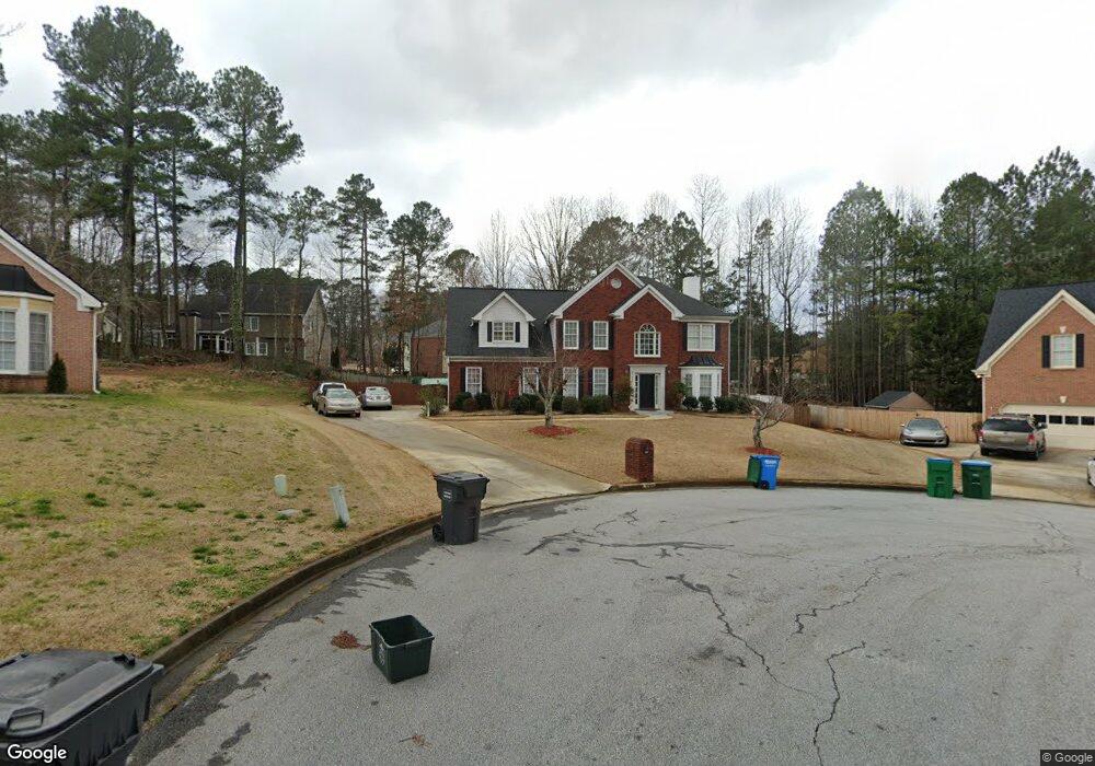
2765 Adams Pointe Dr Unit 2 Snellville, GA 30078
Estimated Value: $488,000 - $522,000
4
Beds
3
Baths
2,806
Sq Ft
$179/Sq Ft
Est. Value
About This Home
This home is located at 2765 Adams Pointe Dr Unit 2, Snellville, GA 30078 and is currently estimated at $502,709, approximately $179 per square foot. 2765 Adams Pointe Dr Unit 2 is a home located in Gwinnett County with nearby schools including Brookwood Elementary School, Alton C. Crews Middle School, and Brookwood High School.
Ownership History
Date
Name
Owned For
Owner Type
Purchase Details
Closed on
Aug 12, 2005
Sold by
Ryan Laurence N and Ryan Amy
Bought by
Persaud Anand S V
Current Estimated Value
Purchase Details
Closed on
Jan 25, 1999
Sold by
Drobny Homes Inc
Bought by
Ryan Laurence and Ryan Amy S
Home Financials for this Owner
Home Financials are based on the most recent Mortgage that was taken out on this home.
Original Mortgage
$183,600
Interest Rate
6.85%
Mortgage Type
New Conventional
Create a Home Valuation Report for This Property
The Home Valuation Report is an in-depth analysis detailing your home's value as well as a comparison with similar homes in the area
Home Values in the Area
Average Home Value in this Area
Purchase History
| Date | Buyer | Sale Price | Title Company |
|---|---|---|---|
| Persaud Anand S V | $228,000 | -- | |
| Ryan Laurence | $204,000 | -- |
Source: Public Records
Mortgage History
| Date | Status | Borrower | Loan Amount |
|---|---|---|---|
| Previous Owner | Ryan Laurence | $183,600 |
Source: Public Records
Tax History Compared to Growth
Tax History
| Year | Tax Paid | Tax Assessment Tax Assessment Total Assessment is a certain percentage of the fair market value that is determined by local assessors to be the total taxable value of land and additions on the property. | Land | Improvement |
|---|---|---|---|---|
| 2024 | $5,302 | $190,520 | $30,000 | $160,520 |
| 2023 | $5,302 | $184,360 | $32,400 | $151,960 |
| 2022 | $4,774 | $166,680 | $30,000 | $136,680 |
| 2021 | $3,977 | $125,040 | $21,200 | $103,840 |
| 2020 | $4,006 | $125,040 | $21,200 | $103,840 |
| 2019 | $3,538 | $108,080 | $18,400 | $89,680 |
| 2018 | $3,542 | $108,080 | $18,400 | $89,680 |
| 2016 | $3,226 | $92,480 | $19,200 | $73,280 |
| 2015 | $3,255 | $92,480 | $19,200 | $73,280 |
| 2014 | $3,271 | $92,480 | $19,200 | $73,280 |
Source: Public Records
Map
Nearby Homes
- 1953 Watson Park Dr
- Easton Plan at Watson Park
- Kenwood Plan at Watson Park
- Aiken Plan at Watson Park
- Lawrence Plan at Watson Park
- Stockbridge Plan at Watson Park
- 3075 Oak Meadow Dr
- 1936 Oakwood Grove Dr Unit 1
- 1916 Oakwood Grove Dr Unit 1
- 1809 Mornington Ln
- 2067 Crescent Dr SW
- 1845 Lisa Springs Dr
- 1686 Norton Estates Dr
- 3063 Bruckner Blvd
- 2845 Long Shadow Ct
- 2141 Slick Stone Dr
- 3103 Redwood Grove Park Unit 4
- 1631 Oak Rd
- 2598 Mountain View Rd
- 2795 Adams Pointe Dr
- 2861 Adams Brook Way
- 0 Adams Pointe Dr Unit 7161511
- 0 Adams Pointe Dr Unit 7106458
- 0 Adams Pointe Dr Unit 7050591
- 0 Adams Pointe Dr Unit 7039536
- 0 Adams Pointe Dr Unit 8555865
- 0 Adams Pointe Dr Unit 8617421
- 2760 Adams Pointe Dr
- 2866 Adams Brook Way Unit 2
- 2805 Adams Pointe Dr Unit 1
- 2770 Adams Pointe Dr Unit 2
- 1814 Adams Pointe Ct Unit 2
- 1834 Adams Pointe Ct Unit 2
- 2780 Adams Pointe Dr
- 2790 Adams Pointe Dr Unit 1
- 2876 Adams Brook Way
- 1854 Adams Pointe Ct Unit 2
- 2800 Adams Pointe Dr Unit 1
- 2855 Adams Pointe Dr