2765 Highway 13 W Harrisburg, IL 62946
Estimated Value: $163,000 - $272,000
--
Bed
--
Bath
--
Sq Ft
4.47
Acres
About This Home
This home is located at 2765 Highway 13 W, Harrisburg, IL 62946 and is currently estimated at $212,022. 2765 Highway 13 W is a home located in Saline County with nearby schools including East Side Intermediate School, Harrisburg Middle School, and Harrisburg High School.
Ownership History
Date
Name
Owned For
Owner Type
Purchase Details
Closed on
Aug 18, 2010
Sold by
Murphy Deborah J and Coughlin Deborah J
Bought by
Murphy Nathan W
Current Estimated Value
Create a Home Valuation Report for This Property
The Home Valuation Report is an in-depth analysis detailing your home's value as well as a comparison with similar homes in the area
Home Values in the Area
Average Home Value in this Area
Purchase History
| Date | Buyer | Sale Price | Title Company |
|---|---|---|---|
| Murphy Nathan W | -- | None Available |
Source: Public Records
Tax History Compared to Growth
Tax History
| Year | Tax Paid | Tax Assessment Tax Assessment Total Assessment is a certain percentage of the fair market value that is determined by local assessors to be the total taxable value of land and additions on the property. | Land | Improvement |
|---|---|---|---|---|
| 2024 | $3,902 | $60,512 | $7,553 | $52,959 |
| 2023 | $3,540 | $51,290 | $6,402 | $44,888 |
| 2022 | $3,452 | $48,350 | $6,035 | $42,315 |
| 2021 | $3,620 | $49,844 | $6,221 | $43,623 |
| 2020 | $3,543 | $48,350 | $6,035 | $42,315 |
| 2019 | $3,573 | $48,350 | $6,035 | $42,315 |
| 2018 | $3,620 | $48,350 | $6,035 | $42,315 |
| 2017 | $3,552 | $48,350 | $6,035 | $42,315 |
| 2016 | $35 | $48,350 | $6,035 | $42,315 |
| 2015 | -- | $48,350 | $6,035 | $42,315 |
| 2014 | $3,362 | $48,350 | $6,035 | $42,315 |
| 2013 | $3,362 | $48,350 | $6,035 | $42,315 |
| 2012 | $3,362 | $48,350 | $6,035 | $42,315 |
Source: Public Records
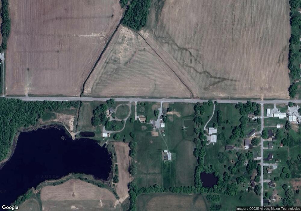
Map
Nearby Homes
- 205 S Shaw St
- 405 S Shaw St
- 615 Liberty Rd
- 827 W Raymond St
- 1120 Dorris Heights Rd
- 885 Liberty Rd
- 1116 S Holland St
- 504 W South St
- 614 W College St
- 430 W Church St
- 204 N Sherman St
- 500 W Sloan St
- 1006 S Land St
- 520 S Mckinley St
- 305 W Church St
- 1116 S Land St
- 618 S Mckinley St
- 305 W Lincoln St
- 734 S Mckinley St
- 216 W Poplar St
- 2715 Highway 13 W
- 2665 Highway 13 W
- 2635 Highway 13 W
- 80 Barrett Ln
- 220 Barrett Ln
- 2990 Highway 13 W
- 105 Wathen Rd
- 2990 Highway 13 W
- 20 Barrett Ln
- 60 Barrett Ln
- 100 Barrett Ln
- 140 Barrett Ln
- 160 Barrett Ln
- 3089 Highway 13 W
- 65 Barrett Ln
- 85 Barrett Ln
- 105 Barrett Ln
- 3080 Highway 13 W
- 2623 W Poplar St
- 125 Barrett Ln